Firefighters reach 90% containment on 590-acre Ochoco Fire east of Culver; officials determine it was lightning-caused
(Update: Tuesday night update; 90% contained, lightning-caused)
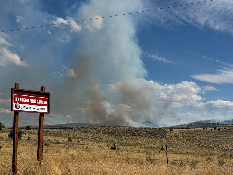
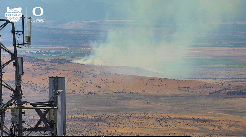
CULVER, Ore. (KTVZ) – Firefighters reached 90% containment Tuesday on a wildfire that broke out Sunday afternoon east of Highway 97 and Culver on the Crooked River National Grassland, burning 590 acres, and officials said it was determined to be lightning-caused.
"Due to the reduced complexity, the fire transitioned back down to a Type 4 Incident Commander last (Monday) night, officials said.
"Due to the quick and coordinated response by interagency resources, there were no impacts to the power lines near the fire area," officials said Sunday evening of the Ochoco Fire, which had threatened Bonneville Power Administration transmission lines.
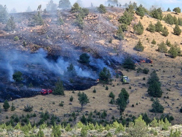
“Firefighters are working to mop up hot spots and secure control lines,” officials said earlier Sunday.
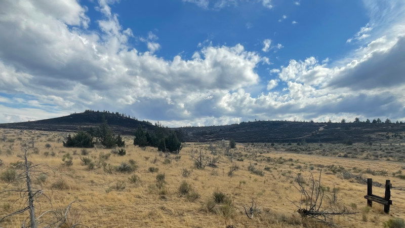
The Ochoco Fire (Incident 675) was reported around 1:45 p.m. Sunday east of Highway 97, west of Highway 26 and north of Haystack Reservoir, Jefferson County Fire & EMS Chief Jeff Blake and Central Oregon fire officials said. Also involved in the firefighting efforts were the BLM and Forest Service, he said.
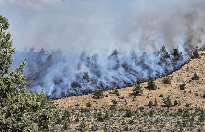
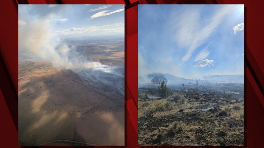
An air and ground fight ramped up and an evacuations and pre-evacuation alerts were issued for the blaze, which threatened Bonneville Power Administration transmission lines before forward progression was stopped.
The Central Oregon Fire Management Service said in an X tweet said earlier Monday, "Control lines were established around the fire and forward progression was stopped last night. Some resources remained on the fire overnight and all resources are back on scene again this morning. Firefighters will be working to establish containment throughout the day."
COFMS said Sunday evening, "A Type 3 Incident Commander has taken command of the fire. Air attack and multiple air tankers are now assisting the ground crews. Transmission lines are threatened."
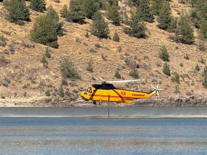
While air tankers dropped retardant in a bid to slow the flames' spread, a firefighting helicopter drew water from nearby Haystack Reservoir to assist.
The cause of the fire was unknown, the Jefferson County sheriff's Office said in a Sunday evening Facebook note.
Thanks to crews' hard work to contain the fire, they said, a Level 3 GO NOW evacuation alert zone was reduced Sunday evening to an area north of Jericho Lane and east of Bear Drive. The agency said the top half of Jericho Lane and the west side of Bear Drive were at Level 2 (Be Set) and south of Jericho Lane was at Level 1 (Be Ready).
By 9 p.m., conditions had improved to the point where all areas were dropped to Level 1 through the night, and those were dropped Monday, according to the revised Jefferson County Evacuation Zones map.
More information at: https://app.watchduty.org/i/31320
