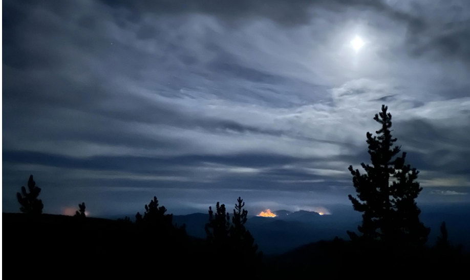
Deschutes National Forest reduces closure areas around Flat Top, Firestone fires, both almost fully contained

BEND, Ore. (KTVZ) — Effective immediately, the Deschutes National Forest has updated and decreased the temporary emergency fire closure area on the Bend-Fort Rock Ranger District for the Flat Top and Firestone Fires due to increased containment and decreased fire activity.
The Flat Top Fire is currently 45,951 acres and 91% contained. The Firestone Fire is currently 9,462 acres and 91% contained, officials said Friday in an announcement that continues in full below:
Fire managers and forest officials have worked closely together to reduce the closure area as much as is reasonably possible given current fire activity.
Please respect the closure if you are recreating and hunting in this area so firefighters can safely and efficiently continue containment and mop up efforts. Hazards along roads and trails near the fire have not been removed and fire weakened trees can and do unexpectedly fall.
Visitors to the area may see smoke within the interior of the Flat Top and Firestone Fires. Please do not report this smoke. Firefighters are actively managing these fires and continue to engage in suppression actions and suppression repair work.
Flat Top and Firestone Fires | Temporary Emergency Fire Closure
The emergency closure order for the Flat Top and Firestone Fires has been updated and currently includes the following closed locations. Please see attached for full closure order and closure order map.
The following developed and dispersed recreation sites are temporarily closed:
· Groundhog OHV Trailhead
· China Hat Campground
· South Lava OHV Trailhead
· South Ice Cave Picnic Area
Roads in the area:
· All National Forest System Roads found within the area closure are closed. NFSR 23 will remain open for public use.
For information regarding temporary emergency closures on the Deschutes National Forest visit fs.usda.gov/alerts/deschutes/alerts-notices.