Metros with the biggest freeway systems
TierneyMJ // Shutterstock
Metros with the biggest freeway systems
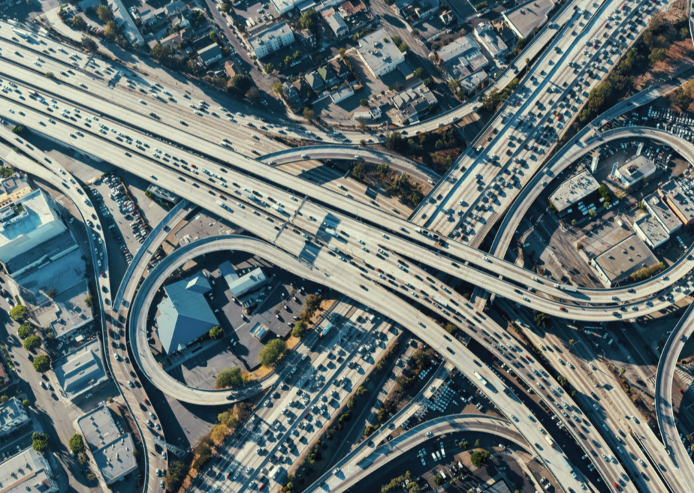
Millions of Americans travel U.S. roadways every single day. While the Interstate Highway System was conceived in 1921, it really didn’t take shape until the 1950s under President Dwight D. Eisenhower. He supported the enactment of the Federal-Aid Highway Act in 1956 for several reasons, including congestion relief and economic development. The Dwight D. Eisenhower National System of Interstate and Defense Highways is a system of roads connecting states using a series of highways. Of course, not all highways are part of the Interstate Highway System and some states have their own highways.
How do freeways fit into the complex transportation system? A freeway is a highway with restricted access that is supposed to be free of tolls and any stops or impediments to speed and travel. While many freeways are part of the Interstate Highway System, they do not have to be. The term freeway is also more popular in the Western United States than in other parts of the country.
CoPilot used data from the U.S. Federal Highway Administration’s Highway Statistics Series, last updated Sept. 30, 2020, to analyze the 25 metros with the biggest freeway systems. The metros are ranked by the total miles of freeways, and additional statistics are included for total roadway miles, average daily traffic on freeways, and total freeway lane-miles, which represents the number of miles on one lane of one freeway.
Freeways have allowed people to live farther from cities while still having access to them for work and other activities. While freeways have made life easier, they have also caused chaos for many, particularly the lower-income families from inner cities whose homes were sometimes destroyed or neighborhoods disrupted to make way for freeways and other American roadways. In the 1960s and 1970s, freeway revolts became common.
Today, freeway expansions continue. The widening of these roads, with an increase in the number of lanes, is meant to relieve congestion and commute times. Relief isn’t always the result, though. Often these so-called improvements increase commute time and congestion.
While freeways are complicated, both historically and by definition, they have allowed people to travel, connect, and have better accessibility to amazing sites for decades. They remain an important part of America’s automotive transportation history.
![]()
Jacob Boomsma // Shutterstock
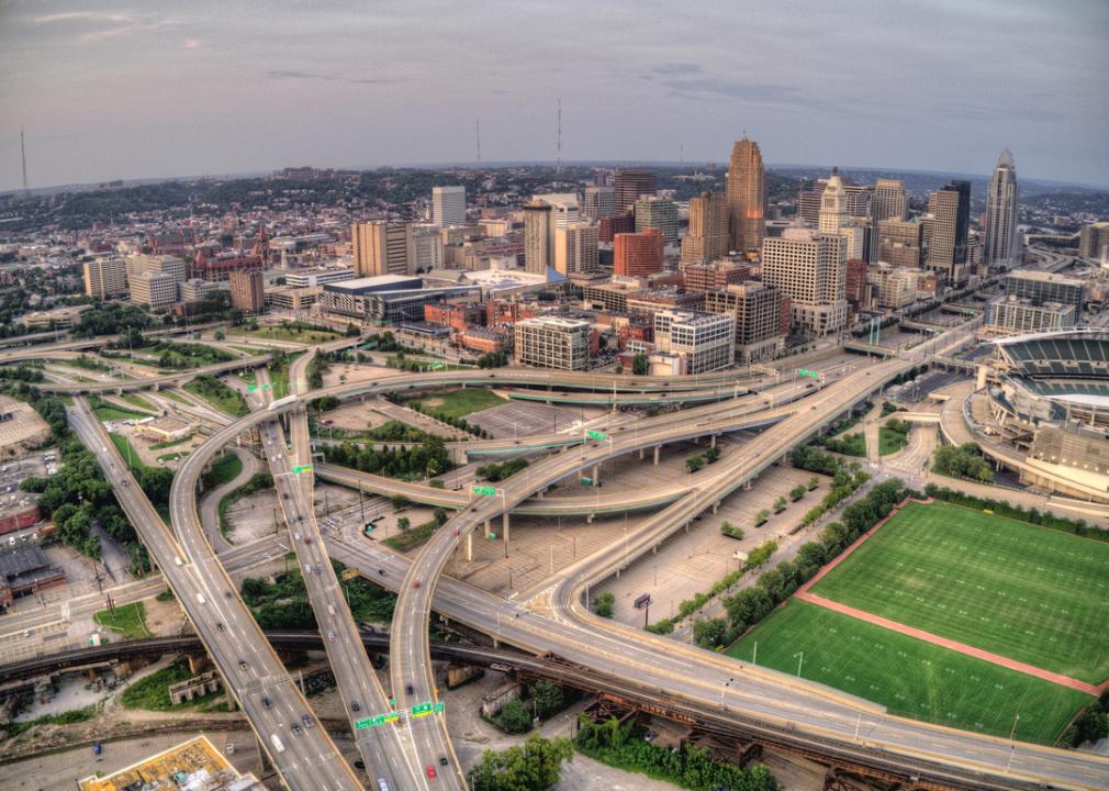
#25. Cincinnati, Ohio-Kentucky-Indiana
– Total miles of freeways: 212 (2.9% of metro’s total roadway miles)
– Total roadway miles: 7,287
– Total estimated freeway lane-miles: 1,262
– Annual average daily traffic on freeways: 90,435 vehicles
Interstate 275, also known as the Cincinnati, Ohio Beltway, is 83.71 miles and begins on the north end at Sharonville, Ohio, and on the south end at Erlanger, Kentucky. This freeway forms a complete beltway around the Cincinnati area and spans the Ohio River. According to Interstate-guide.com, I-275 was the only branch route within the Interstate Highway System to enter three states until July 2018 when Interstate 295 in New Jersey and Delaware extended into Pennsylvania. Originally conceived of in November of 1958 and completed in 1980, the interstate was named the Donald H. Rolf Circle Freeway in 1982.
Real Window Creative // Shutterstock
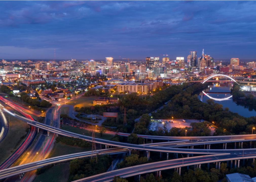
#24. Nashville-Davidson, Tennessee
– Total miles of freeways: 247 (3.2% of metro’s total roadway miles)
– Total roadway miles: 7,627
– Total estimated freeway lane-miles: 1,417
– Annual average daily traffic on freeways: 90,075 vehicles
The Fallon-Gore Act, also known as the 1956 National System of Interstate and Defense Highways, is of particular historical importance to Tennesseans because it was Sen. Albert Gore from Tennessee who introduced the bill along with Rep. George Fallon of Maryland. Gore was also the father of former U.S. Vice President Al Gore. The first section of the interstate to open was Interstate 65 at the line dividing Tennessee from Alabama on Nov. 15, 1958. According to the Tennessee Department of Transportation, while Interstate 40 moves through eight states, 455 of those miles pass through 20 counties in the state, which has more I-40 miles than all the other states.
Mark Schwettmann // Shutterstock
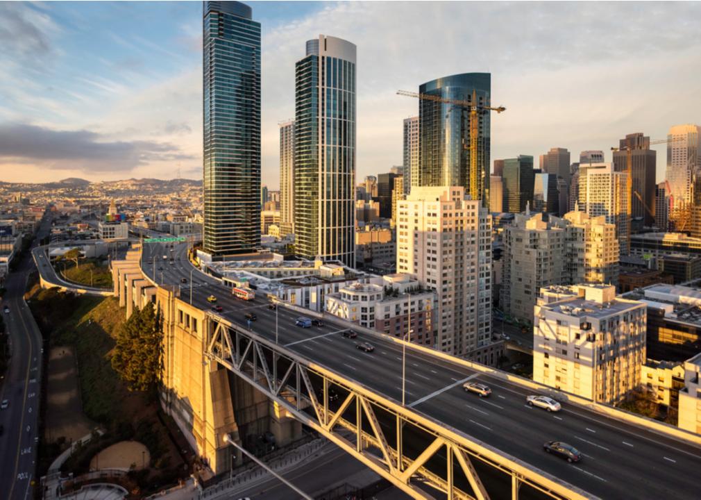
#23. San Francisco-Oakland, California
– Total miles of freeways: 250 (3.4% of metro’s total roadway miles)
– Total roadway miles: 7,367
– Total estimated freeway lane-miles: 1,897
– Annual average daily traffic on freeways: 152,286 vehicles
Complex and numerous, San Francisco-Oakland, California, freeways include Interstates 80, 180, 238, 280, 380, 480, 580, 680, 780, 880, and 980, to name but a few. California Interstate 280 or Father Junipero Serra Freeway, which was named after one of the state’s original missionaries, travels along the infamous San Andreas Fault line. It has become an alternate route to the Bayshore Freeway, also known as U.S. 101, due to the less intense traffic flow and because I-280 does not pass through as many urban areas. While I-280 travels on a fault line, it is Admiral Nimitz Freeway, also known as I-880, which became known throughout the world in 1989 when a major part of its double-decked section gave way during the Loma Prieta Earthquake. Improvements were made in the late 1990s in the hopes of preventing such a disaster in the future.
ungvar // Shutterstock
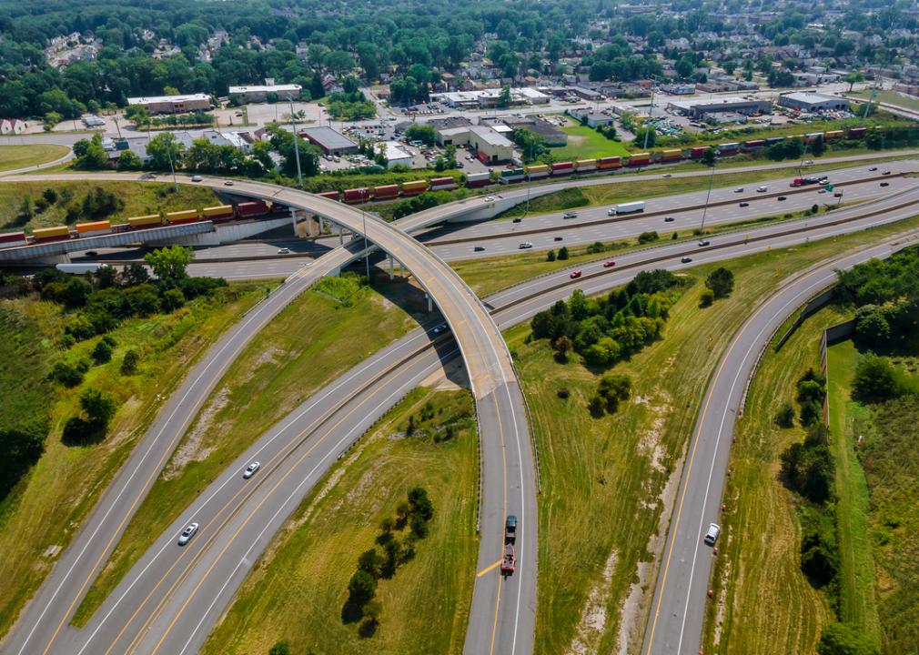
#22. Cleveland, Ohio
– Total miles of freeways: 255 (3.5% of metro’s total roadway miles)
– Total roadway miles: 7,384
– Total estimated freeway lane-miles: 1,563
– Annual average daily traffic on freeways: 74,674 vehicles
While the city has several major interstates, including Interstate 77—which has its starting point in Cleveland and ends in Columbia, South Carolina—it may be the freeway that never happened that makes up one of the most interesting stories in the city’s transportation history. In the early ’60s, residents from Shaker Heights, a Cleveland neighborhood, got together to fight the proposed Clark Freeway, which would connect I-271 with I-490 and would have meant building over lakes and tearing down homes. With help from Carl Stokes, the former mayor, who saw the harm this freeway could do, the Department of Housing and Urban Development also realized the impact it could have, especially on African American neighborhoods.
Regan Bender // Shutterstock
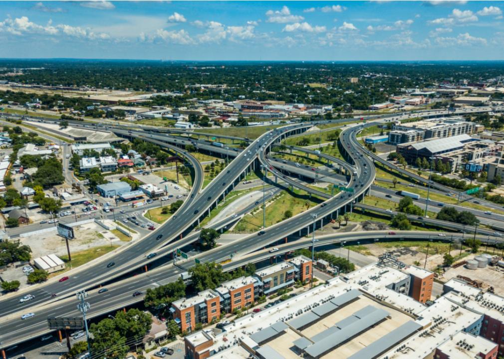
#21. San Antonio, Texas
– Total miles of freeways: 258 (3.2% of metro’s total roadway miles)
– Total roadway miles: 8,172
– Total estimated freeway lane-miles: 1,433
– Annual average daily traffic on freeways: 100,091 vehicles
The city of San Antonio’s freeway system was designed based on the spoke-and-loop system, and the city’s oldest freeway is Interstate 10 with the first section opening in 1949, though the highway was commissioned in 1959. A 9-mile central loop is formed by three interstates—I-10, Interstate 35, and Interstate 37—around downtown San Antonio. The I-37, also known as the Lucian Adams Freeway, serves as a hurricane evacuation route and has several landmarks along it, including the San Jose and San Juan Capistrano historical missions; the San Antonio Museum of Art; and the San Antonio Riverwalk, also known as Paseo del Rio.
Checubus // Shutterstock
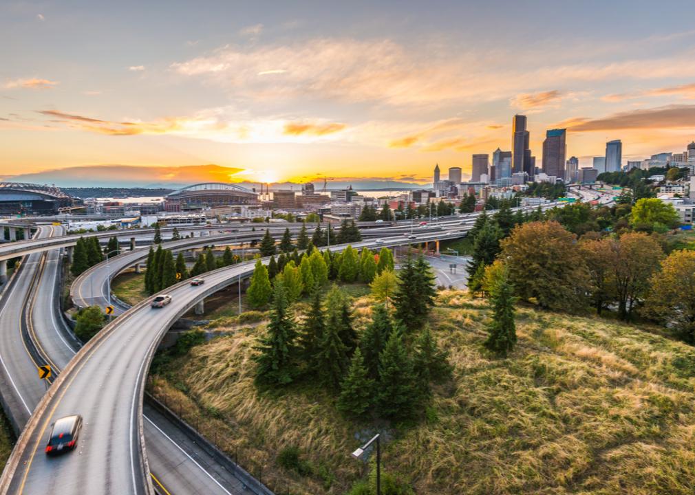
#20. Seattle, Washington
– Total miles of freeways: 281 (2.6% of metro’s total roadway miles)
– Total roadway miles: 10,932
– Total estimated freeway lane-miles: 1,743
– Annual average daily traffic on freeways: 109,962 vehicles
While Seattle has several freeways, including Interstate 405 and Interstate 9, Interstate 5 may be the most despised. The I-5 connects the cities of Tacoma, Seattle, and Everett, though many still believe it has ripped Seattle apart and continue to fight for ways to bring their beloved city back together. As the only interstate to run the length of the state from north to south, it also brings significant traffic to downtown Seattle with more than 200,000 vehicles passing per day, and it remains one of the widest freeways in the country.
trekandshoot // Shutterstock
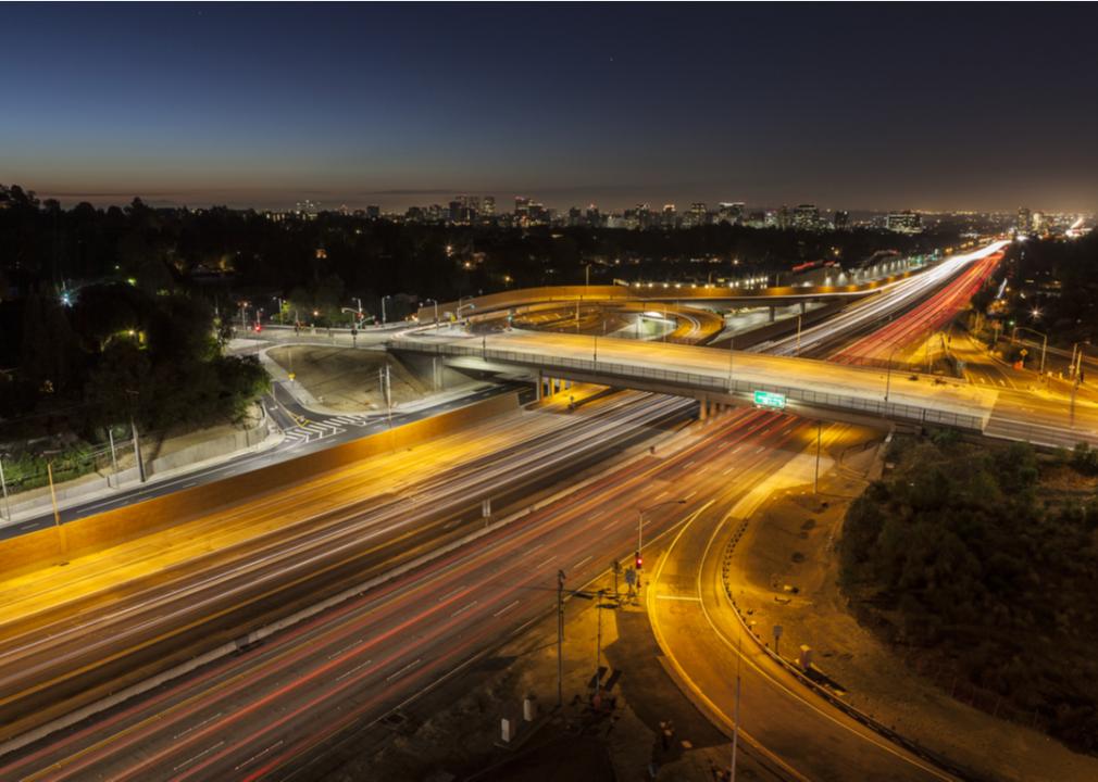
#19. San Diego, California
– Total miles of freeways: 286 (3.7% of metro’s total roadway miles)
– Total roadway miles: 7,653
– Total estimated freeway lane-miles: 2,088
– Annual average daily traffic on freeways: 146,498 vehicles
San Diego has an extensive network of freeways, including Interstate 5, Interstate 8, Interstate 15, and Interstate 805. I-5 is one of the busiest freeways in San Diego, running eight or more lanes. It offers several roadside stops including Balboa Park, which is home to 16 museums and the San Diego Zoo. I-805 often serves as an alternative route of travel to this interstate, which in 1964 replaced U.S. 101 as the main coastal route in San Diego County.
Leeweh // Shutterstock
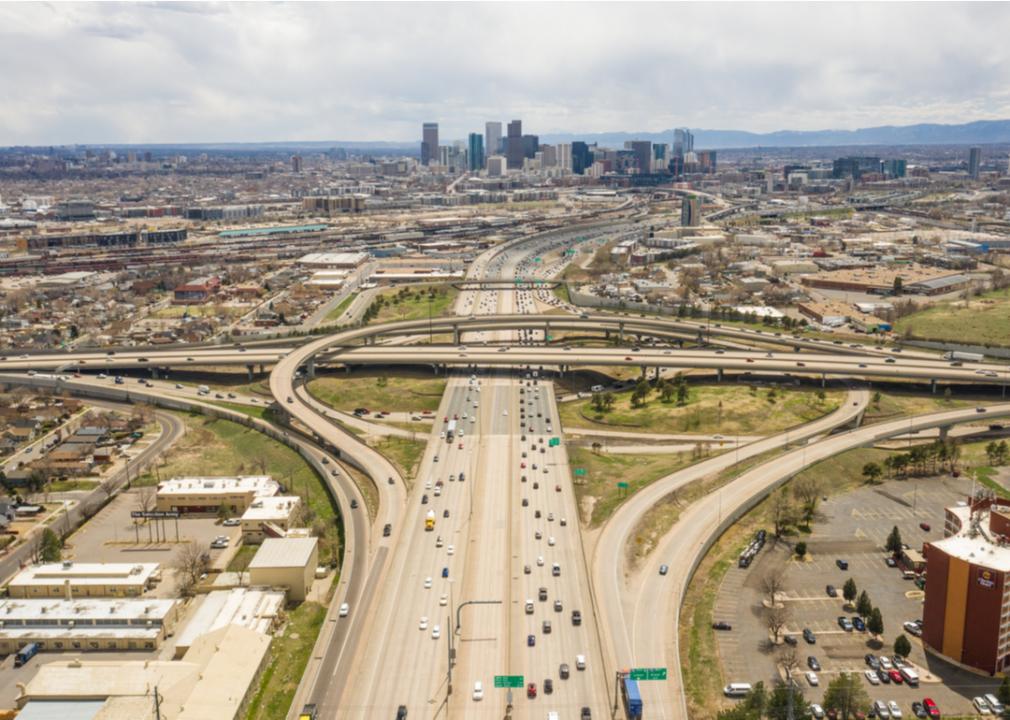
#18. Denver-Aurora, Colorado
– Total miles of freeways: 287 (3.1% of metro’s total roadway miles)
– Total roadway miles: 9,375
– Total estimated freeway lane-miles: 1,499
– Annual average daily traffic on freeways: 97,194 vehicles
Colorado’s first segment of highway would go on to become Interstate 25 when the Interstate Highway System passed in 1956. It ran for a 2-mile segment of Denver’s Valley Highway, which began construction in the summer of 1948. Interstate 70, which connects Denver to Aurora, opened to traffic in 1964 and features many notable sights and stops like Glenwood Hot Springs, Glenwood Canyon, and the Eisenhower Tunnel. This tunnel, which runs 60 miles outside of Denver, is the U.S. Interstate Systems’ highest point with an elevation of more than 11,000 feet, and within four months, this automotive transportation marvel carried 1 million vehicles.
Tim Roberts Photography // Shutterstock
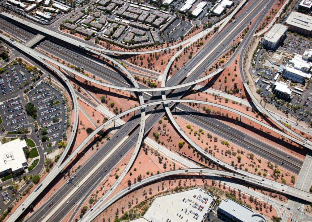
#17. Phoenix-Mesa, Arizona
– Total miles of freeways: 293 (2.3% of metro’s total roadway miles)
– Total roadway miles: 12,791
– Total estimated freeway lane-miles: 2,231
– Annual average daily traffic on freeways: 116,298 vehicles
Phoenix, the fifth-largest U.S. city, came late to the freeway game. The first freeway was known as the Black Canyon Freeway and is now Interstate 17. By 1970, I-17 and Interstate 10 were completed, but it would take nearly another decade for another freeway to open. These two major freeways, Interstate 10 and Interstate 17, along with U.S. Route 60, now known as Superstition Freeway, comprise the foundation of Phoenix’s freeway system. U.S. 60 has an interesting history, but did not begin as a freeway. It gained freeway status in 1983 when a portion of it—from Tempe to Apache Junction—became Superstition Freeway.
Jose Luis Stephens // Shutterstock
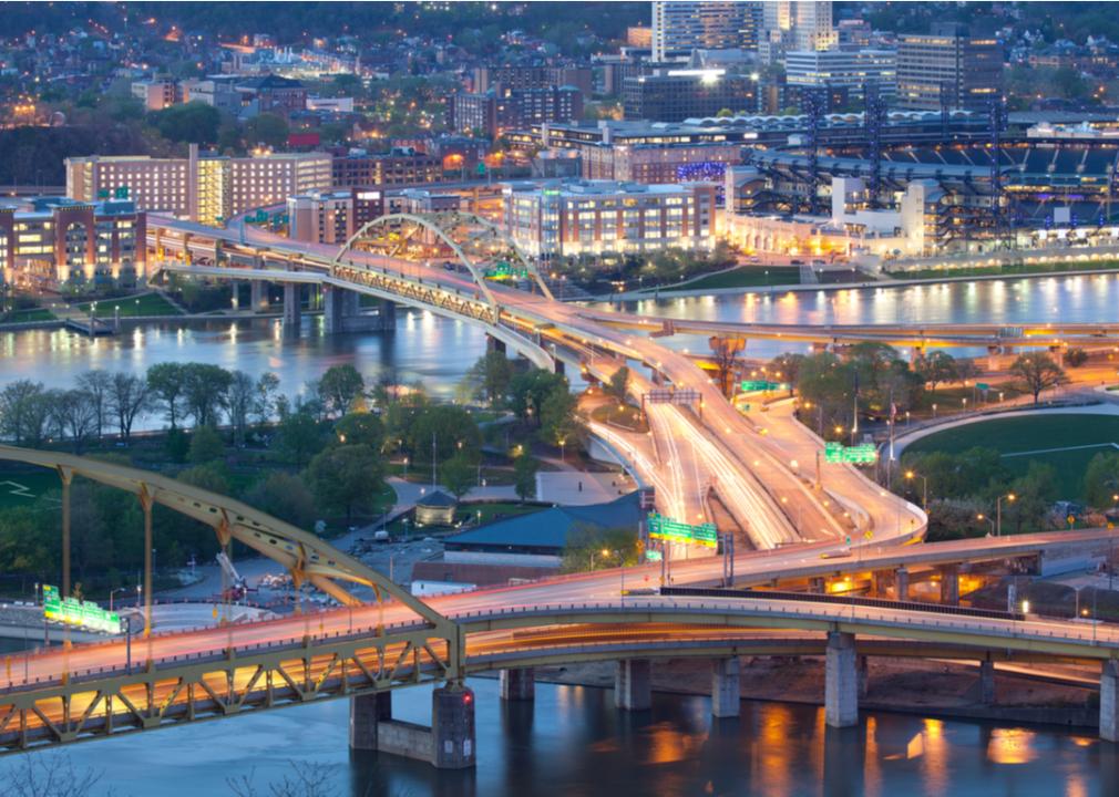
#16. Pittsburgh, Pennsylvania
– Total miles of freeways: 312 (3.1% of metro’s total roadway miles)
– Total roadway miles: 9,907
– Total estimated freeway lane-miles: 1,323
– Annual average daily traffic on freeways: 43,045 vehicles
There are several major freeways that run through Pittsburgh, including Interstate 79, Interstate 279, Interstate 376, and Interstate 579. Forming an urban loop, I-579, known as Crosstown Boulevard/Veterans Bridge, runs from I-279 in the south into downtown Pittsburgh and was only upgraded to a freeway in the 1960s. In 1972, several Pittsburgh interstates were renumbered to alleviate motorist confusion. The I-376 has earned a place on Thrillist’s worst freeway list.
Suraju Kehinde // Shutterstock
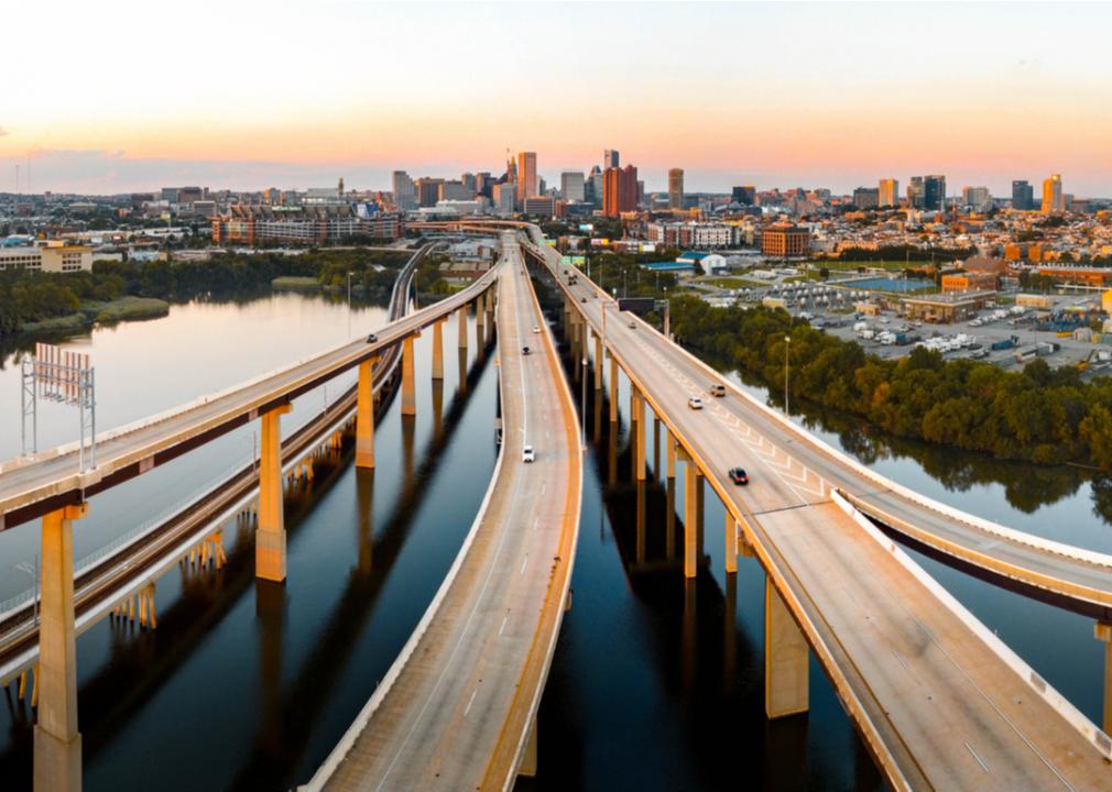
#15. Baltimore, Maryland
– Total miles of freeways: 315 (4.4% of metro’s total roadway miles)
– Total roadway miles: 7,154
– Total estimated freeway lane-miles: 1,717
– Annual average daily traffic on freeways: 99,292 vehicles
Interstate 70 runs from Cove Fort, Utah, to Baltimore, and offers several interesting sites along its long stretch of road, including the Western Maryland Scenic Railroad; Fallingwater, an iconic home designed by Frank Lloyd Wright; and the National Museum of Civil War Medicine. I-70 also has a complicated history, and in the 1960s and 1970s, a group of people, Movement Against Destruction, fought against freeways, specifically the East-West Highway, a freeway that would have connected I-70 with Interstate 95. The connection never happened, so I-70 simply ends at a park and ride at the edge of Baltimore, and this section of road has been dubbed the Highway to Nowhere.
Real Window Creative // Shutterstock
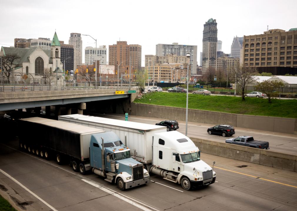
#14. Detroit, Michigan
– Total miles of freeways: 324 (2.1% of metro’s total roadway miles)
– Total roadway miles: 15,404
– Total estimated freeway lane-miles: 2,042
– Annual average daily traffic on freeways: 102,136 vehicles
The main north to south route in the region is Interstate 79, while Interstate 94—made up of the Edsel Ford Freeway and Detroit Industrial Freeway—runs east to west, passing through Detroit and serving Ann Arbor to the west. Interstate 96 has its eastern terminus in downtown Detroit, and Interstate 275 provides an alternate route through the western suburbs of Detroit. Detroit is also home to the Davison Freeway, which is often considered to be the United States’ first urban freeway, and its creation led to the destruction of 69 homes and moving another 63 homes.
O.Malikoff // Shutterstock
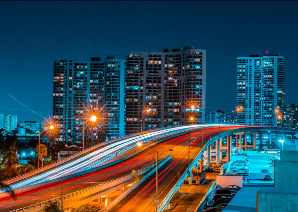
#13. Miami, Florida
– Total miles of freeways: 341 (2.2% of metro’s total roadway miles)
– Total roadway miles: 15,695
– Total estimated freeway lane-miles: 2,481
– Annual average daily traffic on freeways: 144,295 vehicles
While Miami has several major freeways, one of the busiest is State Road 826, which is known as the Palmetto Expressway, and was originally constructed as the bypass of the city. It is also one of the oldest freeways in Miami-Dade County and was one of the first freeways constructed and designed in metropolitan Miami. The expressway was built in phases between 1958 and 1962.
Mark Herreid // Shutterstock
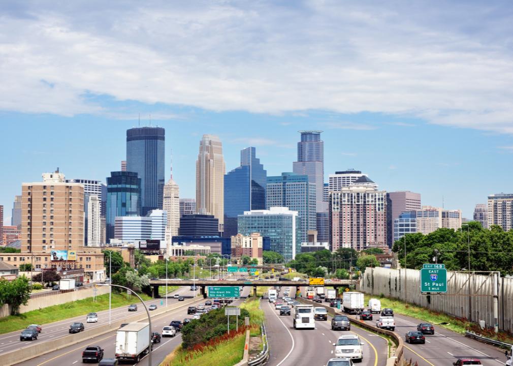
#12. Minneapolis-St. Paul, Minnesota-Wisconsin
– Total miles of freeways: 382 (2.7% of metro’s total roadway miles)
– Total roadway miles: 14,267
– Total estimated freeway lane-miles: 2,021
– Annual average daily traffic on freeways: 85,270 vehicles
I-94, a major interstate, enters Minnesota from North Dakota and exits the state, then heads into Wisconsin. The section connecting Minneapolis and Saint Paul was completed in 1968, and the interstate occupies over 250 miles in Minnesota and runs east to west through the central portion of the state. Major attractions off I-94 include everything from a shopping excursion at the Albertville Outlet Center in Albertville to the somewhat foolish, but still fun, Otto the Big Otter, in Fergus Falls.
f11photo // Shutterstock
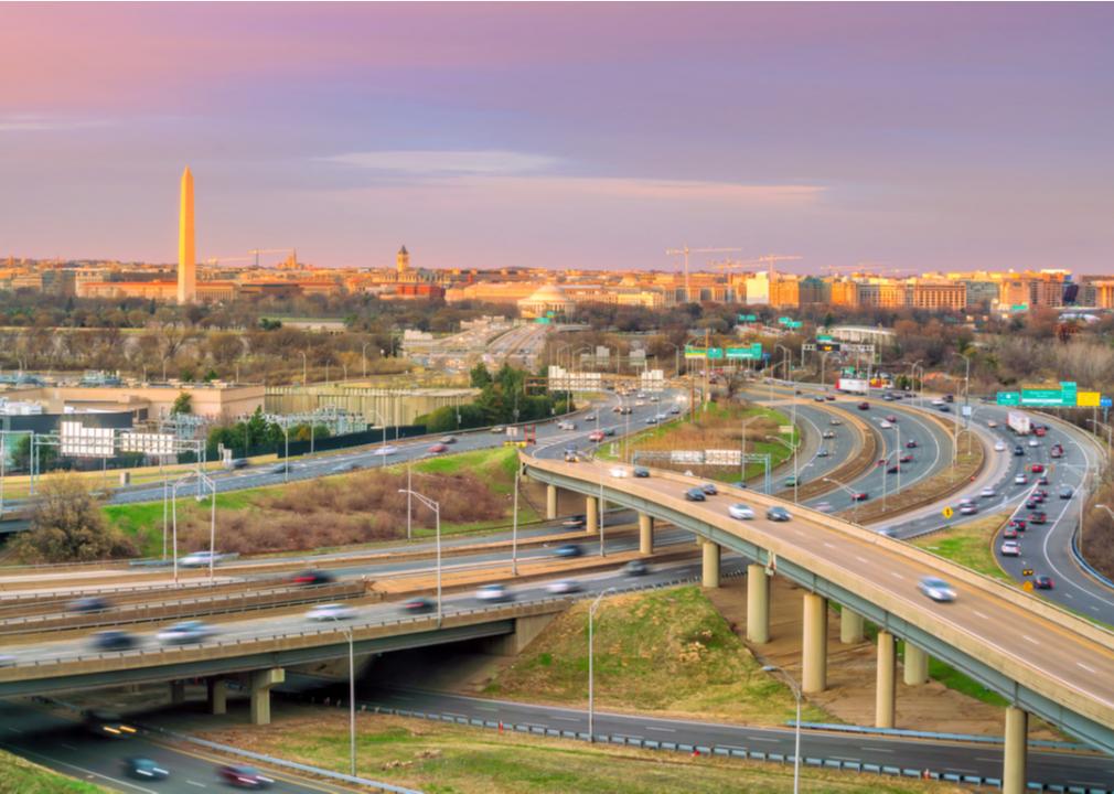
#11. Washington D.C.-Virginia-Maryland
– Total miles of freeways: 405 (2.9% of metro’s total roadway miles)
– Total roadway miles: 13,760
– Total estimated freeway lane-miles: 2,632
– Annual average daily traffic on freeways: 112,016 vehicles
According to a report by transportation data firm INRIX, Washington D.C. is one of the most congested cities in the world, with 155 hours lost in congestion in 2019, though numbers dropped in 2020 due to the coronavirus. Washington D.C. has the Southwest Freeway or Interstate 395, and the Southeast Freeway or Interstate 695, and this system was completed in the late 1960s. At one point, there was a plan to build an inner loop, which would have been a network of freeways, though only certain sections were built, and today Interstate 495’s inside lanes are often thought of as the inner loop.
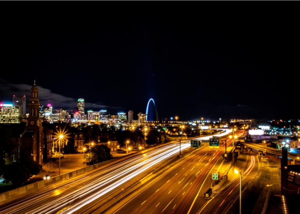
JPerks87 // Shutterstock
#10. St. Louis, Missouri-Illinois
– Total miles of freeways: 412 (3.5% of metro’s total roadway miles)
– Total roadway miles: 11,698
– Total estimated freeway lane-miles: 2,585
– Annual average daily traffic on freeways: 77,736 vehicles
Interstate 44, Interstate 70, Interstate 55, and Interstate 64 are just a few of the freeways in St. Louis, Missouri, and are the primary routes in the state, while Interstate 270 and Interstate 255 form a beltway encircling the city. According to the St. Louis Post-Dispatch, in 1955, the Interregional was a bit of progress considering that the city only had one freeway then, the Oakland Express Highway. The Interregional was a six-lane highway that was 2.3 miles long and saved residents 10 minutes in travel time though it took seven years to build.
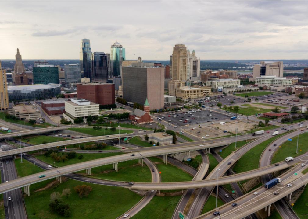
Real Window Creative // Shutterstock
#9. Kansas City, Missouri-Kansas
– Total miles of freeways: 423 (4.2% of metro’s total roadway miles)
– Total roadway miles: 10,160
– Total estimated freeway lane-miles: 2,201
– Annual average daily traffic on freeways: 57,771 vehicles
The destruction required to build Kansas City’s freeway loop, known as the Downtown Loop, or the Alphabet Loop, was immense. Demolishing blocks of real estate, and the building of such freeways was seen by many as a tool for urban renewal. When Interstate 70 was built, 10,000 people, most of whom lived in Black neighborhoods, were displaced. Kansas City has very little traffic on its freeways, and according to Tomtom.com, Kansas City had a congestion level of 9% for 2020, which is low compared to Los Angeles, which had a congestion level of 27% for that same year.
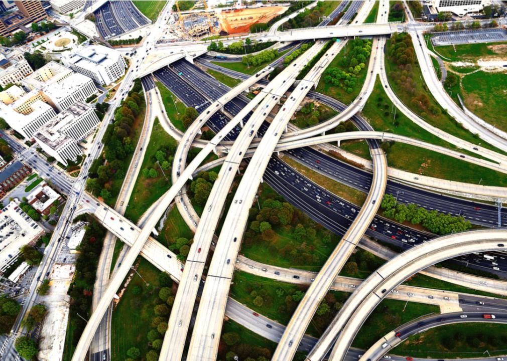
Brett Barnhill // Shutterstock
#8. Atlanta, Georgia
– Total miles of freeways: 434 (1.7% of metro’s total roadway miles)
– Total roadway miles: 25,090
– Total estimated freeway lane-miles: 3,074
– Annual average daily traffic on freeways: 130,321 vehicles
Three major intersections converge in the downtown area in the southeastern hub of Atlanta, Interstate 20, Interstate 75, and Interstate 85, and a beltway is formed around the bustling city by Interstate 285. Some major Atlanta attractions accessible using I-85 include the CNN Center, Turner Field, and The World of Coca-Cola. I-285 began in 1958, though it was inaugurated on Oct. 15, 1969, and today is used by residents and travelers to get into Atlanta from the surrounding suburbs and is considered one of the busiest roads in the country, with up to 2 million vehicles each day.
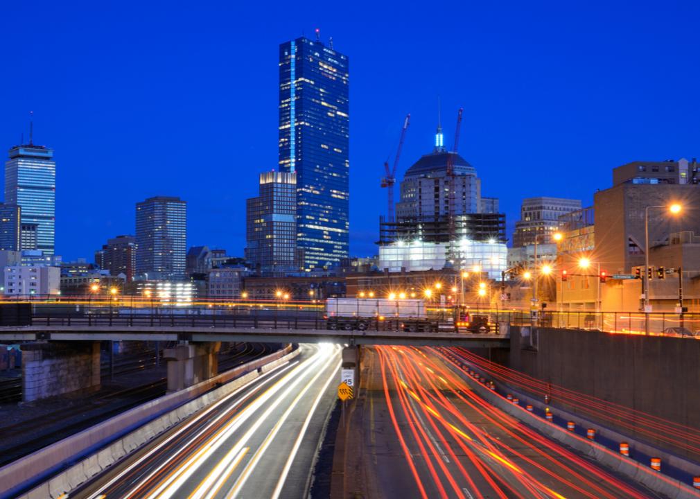
Sean Pavone // Shutterstock
#7. Boston, Massachusetts-New Hampshire-Rhode Island
– Total miles of freeways: 454 (2.5% of metro’s total roadway miles)
– Total roadway miles: 17,816
– Total estimated freeway lane-miles: 2,579
– Annual average daily traffic on freeways: 99,698 vehicles
Interstate 95, Interstate 495, Interstate 93, and Interstate 90 are all major roadways in Boston. I-90 is the longest interstate highway stretching an unbelievable 3,020 miles as a transcontinental freeway that runs from the West Coast to the East Coast with its western terminus in Seattle and its eastern terminus in Boston. Built in the 1950s and 1960s, many major tourist attractions can be accessed using I-90 like Old Sturbridge Village and Six Flags New England on the East Coast, to the John Wayne Pioneer Trail and Snoqualmie Falls on the West Coast.
FiledIMAGE // Shutterstock
#6. Chicago, Illinois-Indiana
– Total miles of freeways: 518 (1.6% of metro’s total roadway miles)
– Total roadway miles: 31,708
– Total estimated freeway lane-miles: 3,004
– Annual average daily traffic on freeways: 110,622 vehicles
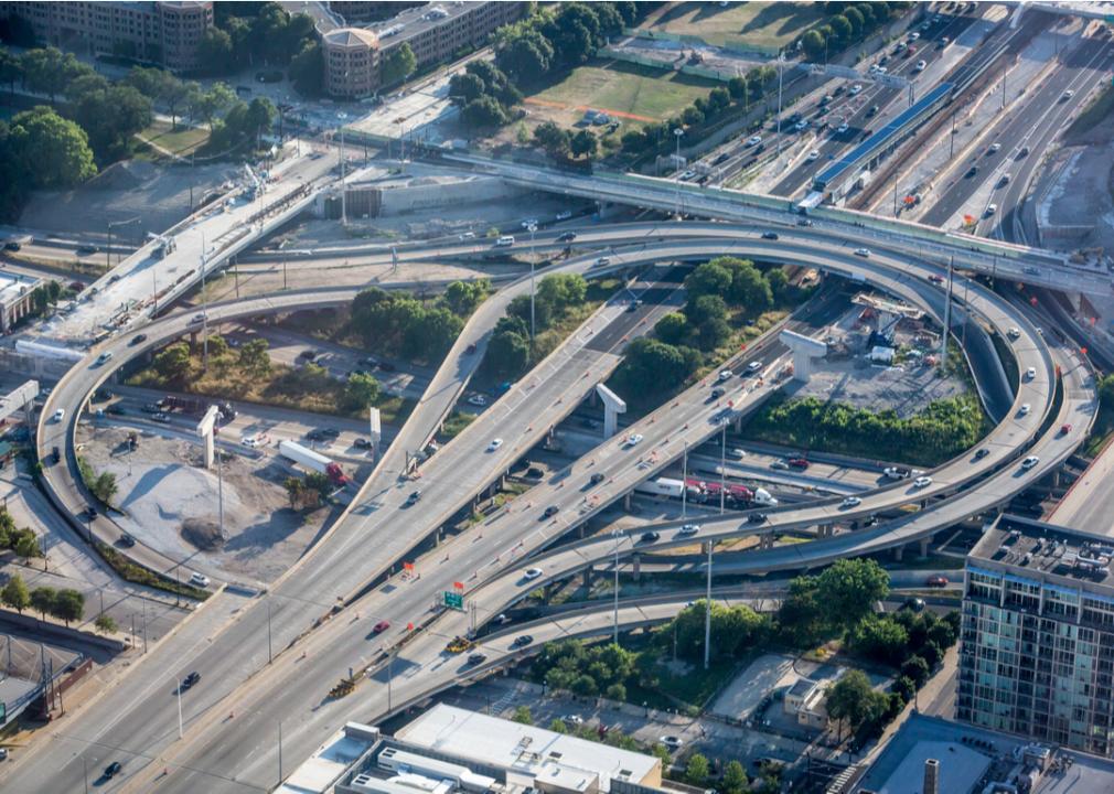
Chicago has a traffic problem, like many major cities, and according to INRIX Global Traffic Scorecard, it was the third-most congested city in the United States in 2020. With many major interstates, including I-94, Bishop Ford Memorial Freeway, Interstate 90, Interstate 88, and the Interstate 80, it seems ironic that the most congested freeway in the area is a section between the Tri-State and the Jane Byrne Interchange of the Dwight D. Eisenhower Expressway/Interstate 290, and it has even earned the designation of the most congested road in the United States. It was Eisenhower who signed the Federal-Aid Highway Act of 1956 into law, supporting the creation and expansion of the Interstate Highway System.
BLAZE Pro // Shutterstock
#5. Philadelphia, Pennsylvania-New Jersey-Delaware-Maryland
– Total miles of freeways: 524 (2.5% of metro’s total roadway miles)
– Total roadway miles: 21,069
– Total estimated freeway lane-miles: 2,662
– Annual average daily traffic on freeways: 76,655 vehicles
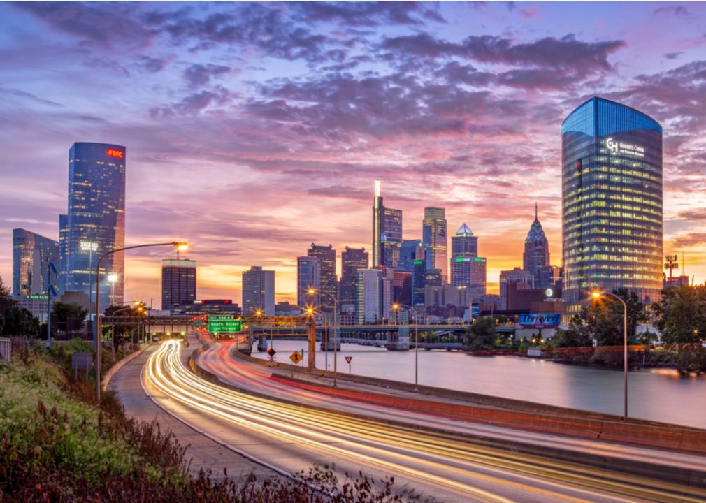
Three main arteries serve the City of Brotherly Love, Interstate 95, Interstate 76/the Schuylkill Expressway, and Roosevelt Boulevard. I-95 runs from Miami, Florida, to Houlton, Maine, and through Baltimore; Wilmington, Delaware; Philadelphia; and Newark, New Jersey. Of course, it is the Schuylkill Expressway that earned a spot on Thrillist’s list of worst freeways in America as well as the designation of one of the worst bottlenecks in the country.
omarhasan1 // Shutterstock
#4. Houston, Texas
– Total miles of freeways: 556 (2.8% of metro’s total roadway miles)
– Total roadway miles: 19,693
– Total estimated freeway lane-miles: 3,501
– Annual average daily traffic on freeways: 111,147 vehicles
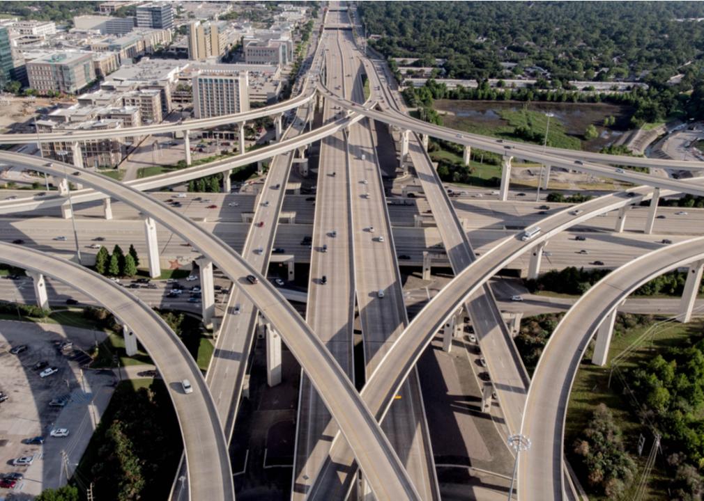
With three ring freeways and nine major radial freeways, rings of highways encircle the city of Houston, and it is often ranked as one of the worst commuting cities in the country due to the traffic congestion and extended commute times. The Beltway 8-Katy Freeway was fully opened in 1989 and was the city’s first five-level freeway-to-freeway project. Its widening in 2008 to 26 lanes merely served to increase congestion and commute times, and Houston continues to expand its freeway system.
TierneyMJ // Shutterstock
#3. Los Angeles-Long Beach-Anaheim, California
– Total miles of freeways: 646 (2.6% of metro’s total roadway miles)
– Total roadway miles: 25,027
– Total estimated freeway lane-miles: 5,786
– Annual average daily traffic on freeways: 207,946 vehicles
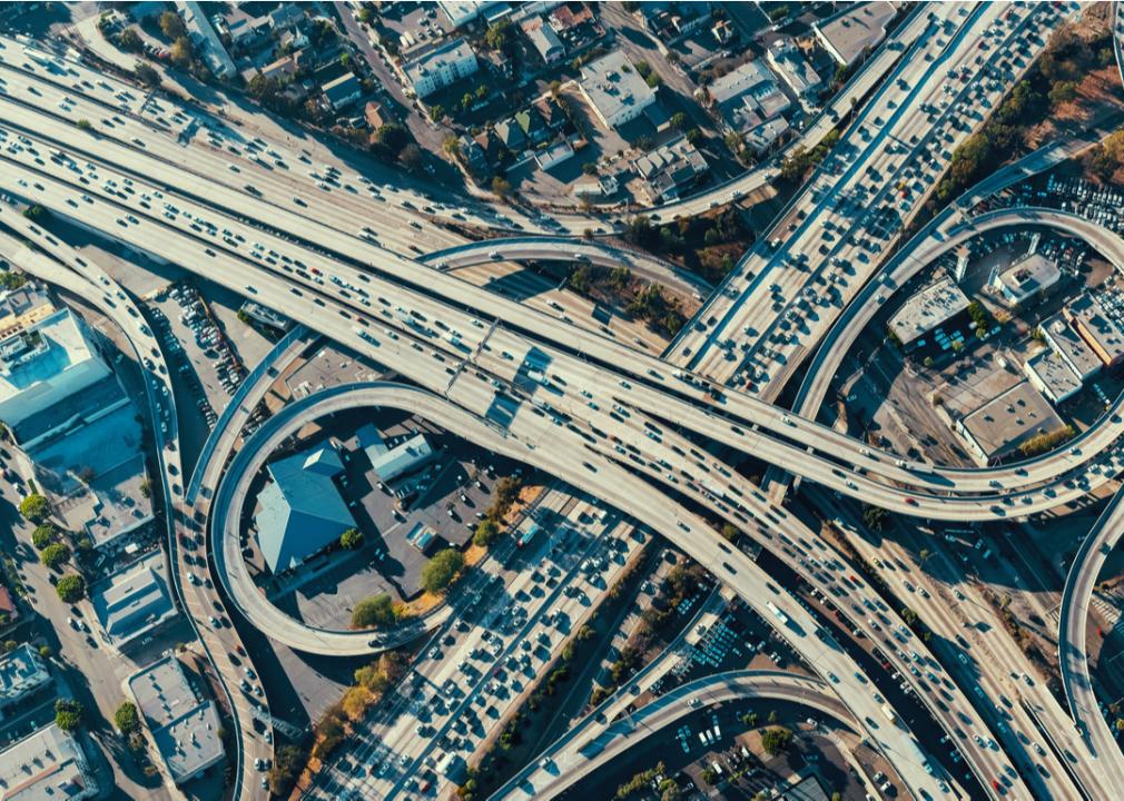
Southern California is known for its freeways and has many famous—and infamous—freeways, particularly in the Los Angeles area. They include the Interstate 405, the San Diego Freeway; Interstate 10, the Santa Monica Freeway and San Bernardino Freeway; U.S. 101-state Route 134, the Ventura Freeway; U.S. 101-state Route 170, the Hollywood Freeway; state Route 110-Interstate 110, the Harbor Freeway; and the Interstate 5, the Golden State Freeway and Santa Ana Freeway. While Los Angeles traffic is terrible and continuously ranks among the worst in the world, the freeways are a part of life and while slow-moving, offer the opportunity for some prime sightseeing like the I-405, which is a bypass for I-5 and allows accessibility to UCLA, Getty Center, Mulholland Drive, and Beverly Hills.
Charlie Ball // Shutterstock
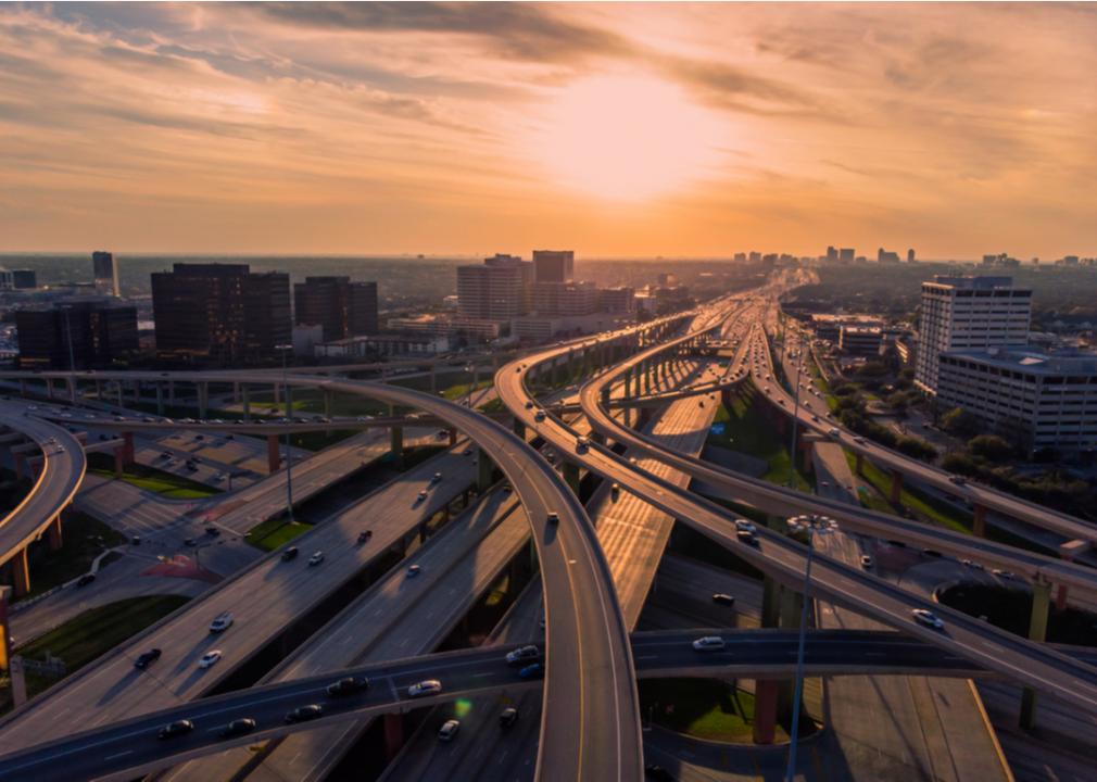
#2. Dallas-Fort Worth-Arlington, Texas
– Total miles of freeways: 695 (3% of metro’s total roadway miles)
– Total roadway miles: 23,182
– Total estimated freeway lane-miles: 4,167
– Annual average daily traffic on freeways: 106,695 vehicles
While the Dallas-Fort Worth-Arlington metropolitan area has a large and intricate freeway system, several freeways are possible in the future, though not everyone is happy about the environmental impact due to congestion issues. According to CultureMap Dallas, three Dallas roadways made the list of 10 most congested roads in the state. The Stemmons Freeway, which made the list, was opened in 1959 as the region’s first large, modern freeway.
Sean Pavone // Shutterstock
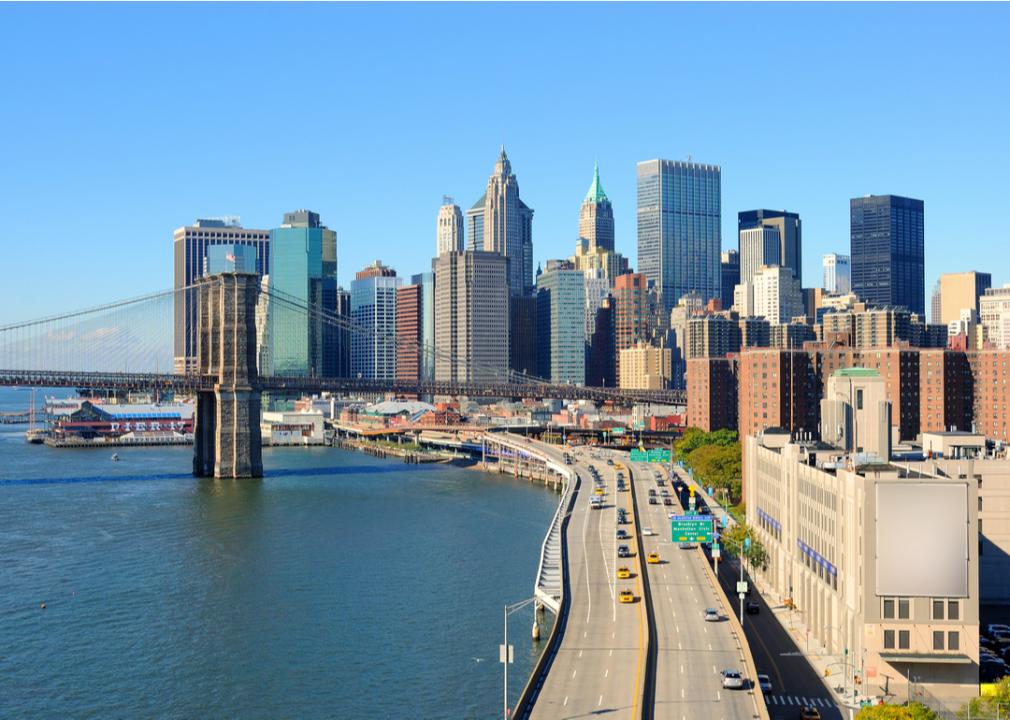
#1. New York-Newark, New York-New Jersey-Connecticut
– Total miles of freeways: 1,246 (2.8% of metro’s total roadway miles)
– Total roadway miles: 44,326
– Total estimated freeway lane-miles: 7,466
– Annual average daily traffic on freeways: 99,827 vehicles
The Texas A&M Transportation Institute study ranked the Los Angeles-Long Beach-Anaheim region as having the worst traffic in the United States since 1982, but New York City has surpassed Los Angeles. While many major roadways run through the New York-Newark, New York-New Jersey-Connecticut metropolitan areas—including Interstate 78, Interstate 295, Interstate 80, Interstate 91, and Interstate 87, to name but a few—the area also has some of the worst road conditions in the country.
This story originally appeared on CoPilot
and was produced and distributed in partnership with Stacker Studio.