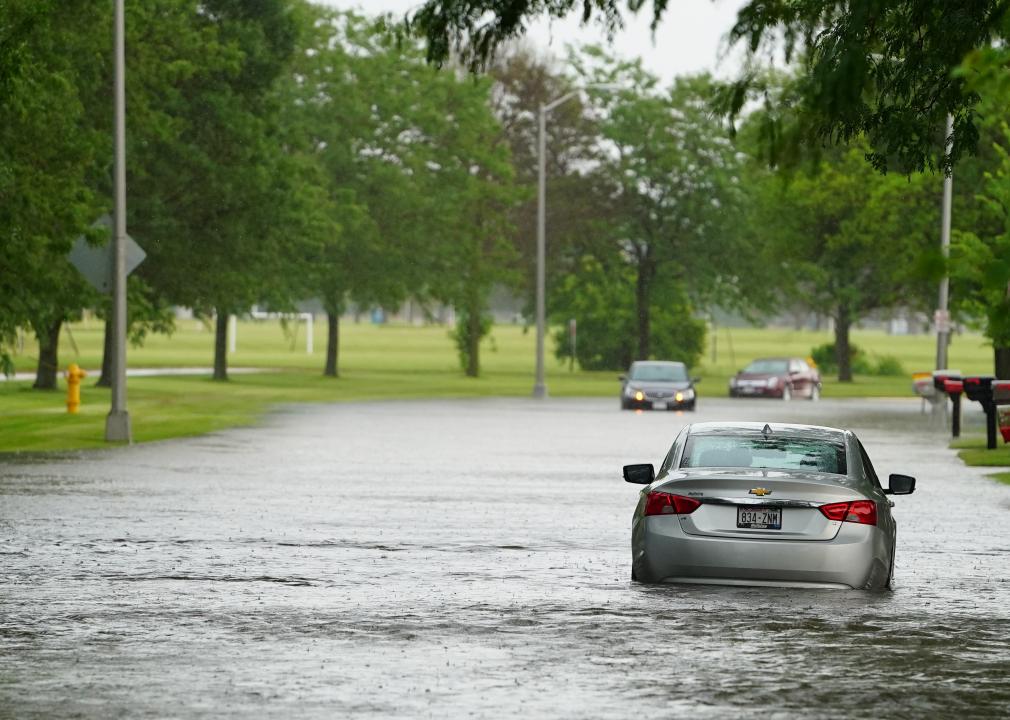
How climate change has affected each state
Ethan Miller // Getty Images
How climate change has affected each state
The latest United Nations Intergovernmental Panel on Climate Change (IPCC) report is yet another reminder of the dire effects of climate change. While climate projections often look to the future when discussing the worst impacts of climate change, we are in fact already experiencing its effects across the United States. To better understand how climate change is impacting the country, Stacker compiled a list of the impacts of climate change in every state, using local and national news stories, government reports, and scientific journal articles.
While these impacts are weather-related—for example, heat waves, droughts, or storms—individual weather events cannot be attributed to climate change on their own. Rather, it is when these events are seen within larger trends that they can be understood as part of a pattern that has come out of the changing climate.
Across the country, there are trends of rising temperatures, storms of increasing frequency and severity, and more erratic precipitation patterns, causing disruptions to the food systems and sometimes even resulting in death. While the U.S. government has set a target to reduce greenhouse gas emissions by at least 50% by 2030, it is clear that the climate emergency is already taking place, and along with emissions reductions, mitigation of the impacts of climate change must be prioritized as well.
You may also like: The 57 women who have won the Nobel Prize
![]()
Kristi Blokhin // Shutterstock
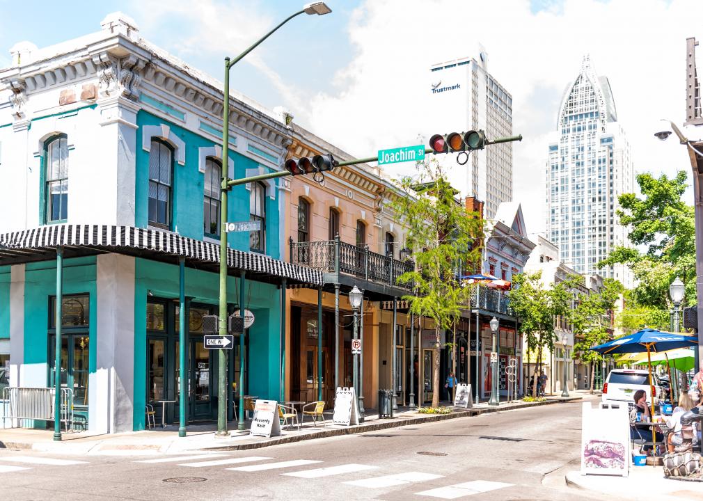
Alabama: More days of dangerous heat
Temperatures have been rising in Alabama, and thanks to climate change, they sometimes reach dangerous levels. Currently, Alabama experiences around 15 days of dangerously high temperatures each year, which is defined as a heat index above 105 F. Given the current trends, Alabama could experience up to 70 of these days per year by 2050, endangering more than 160,000 people in the state who are most vulnerable to extreme heat.
Lance King // Getty Images
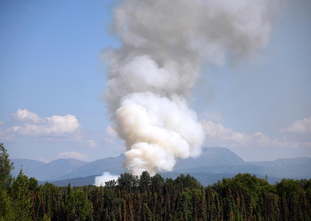
Alaska: Worse and more frequent wildfires
As America’s northernmost state, wildfires might not be the first thing that comes to mind when people think of Alaska. This state has warmed more than twice as fast as the rest of the country in the past 60 years, and by 2050, temperatures are expected to go up another 2–4 F. Due to these rising temperatures, there were twice the number of wildfires larger than 1,000 acres in the 2000s than in the 1950s and 1960s. In addition, the number of acres burned is increasing as is the length of Alaska’s fire season.
David McNew // Getty Images
Arizona: Decades-long drought
The year 2021 marked the 26th year of long-term drought in Arizona. This drought has dried up water sources, decimated crops, and killed cattle. One group especially impacted by this drought is the Hopi tribe. Because of this dramatic drought, the Hopi Tribal Council mandated that ranchers had to cull their herds to preserve water and avoid an even larger death toll. This has caused a lot of tension within the tribe, with the Hopi cattlemen protesting the decision, which the Council eventually overturned.
Lost River Photo // Shutterstock
Arkansas: Increased flooding
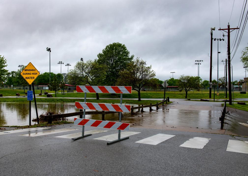
Since 1950, heavy rainfalls have increased in Arkansas, with more days of two or more inches of rain increasing each year. This has led to greater inland flooding, and the state now has one of the highest threats of inland flooding in the country. In June 2021, Arkansas experienced more than a foot of rain in a short period of time, causing heavy flooding.
JOSH EDELSON // Getty Images
California: Not enough water
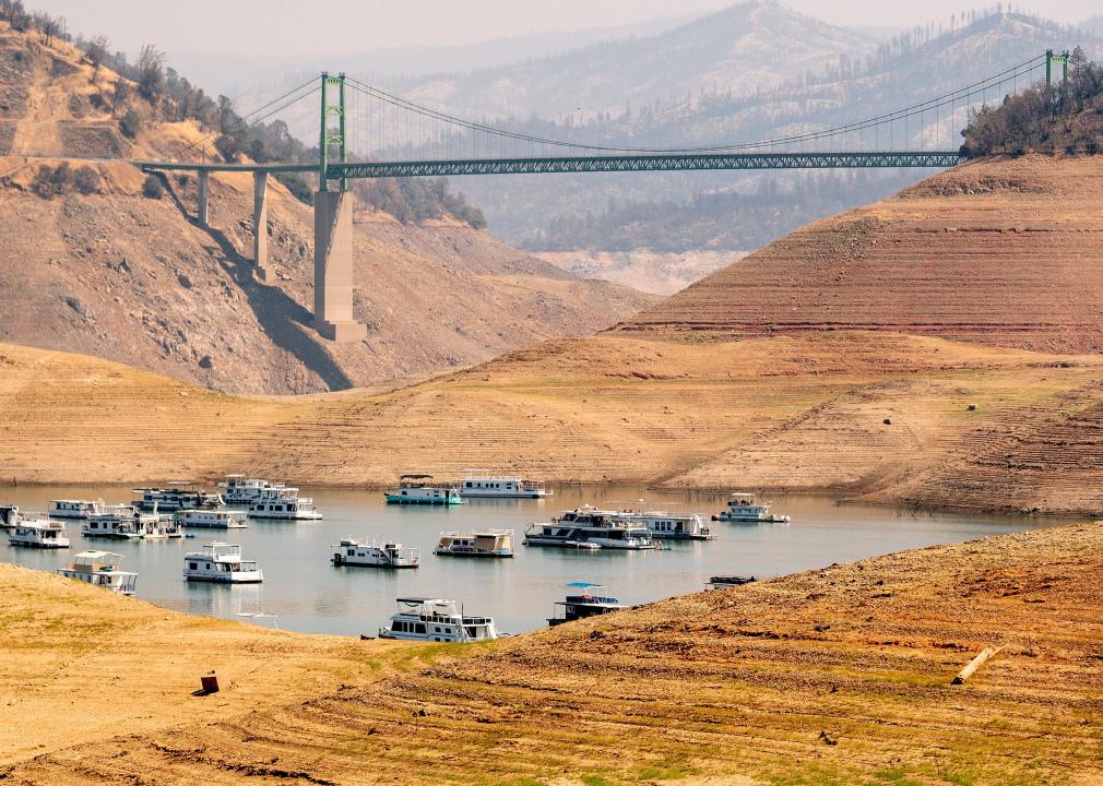
According to The Hill, California is the second-most vulnerable state to climate change, with only Florida in a more vulnerable position. Over the past few years, California has seen increasingly worse wildfire seasons, and its water supply from snow in the Sierra Nevada mountains, a critical source, is predicted to drop by two-thirds by 2050. This potential drought, along with worsening fires, will make it more difficult to grow important crops. However, California is being proactive. The state passed its Senate Bill 100, also referred to as The 100 Percent Clean Energy Act of 2018, and has pledged to put 5 million zero-emission vehicles on the roads by 2030.
You may also like: 50 space terms for understanding the universe
Kevin Moloney // Getty Images
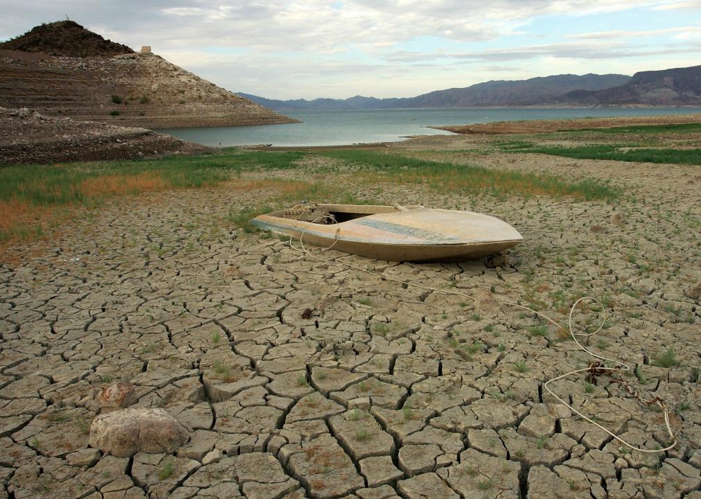
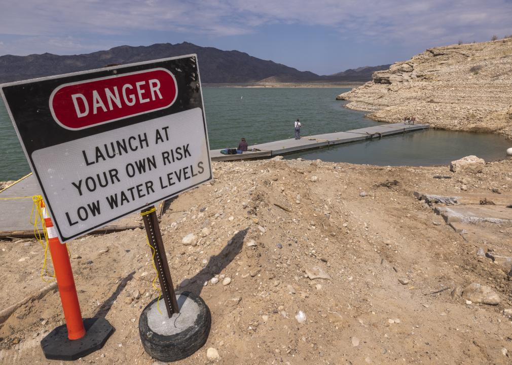
Colorado: Colorado River drying up
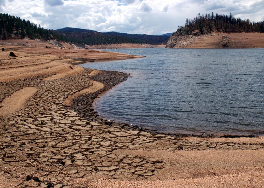
A total of 40 million people rely on the water from the Colorado River, and while experts have taken steps to save water, giant wildfires and heat waves are reducing water levels in this river faster than expected. The flow of the Colorado River has already declined by 20% compared to its average flow in the 1900s, and if warming continues on its current trajectory, that decline could reach 50% by 2100.
JOSEPH PREZIOSO // Getty Images
Connecticut: More 100-year storms
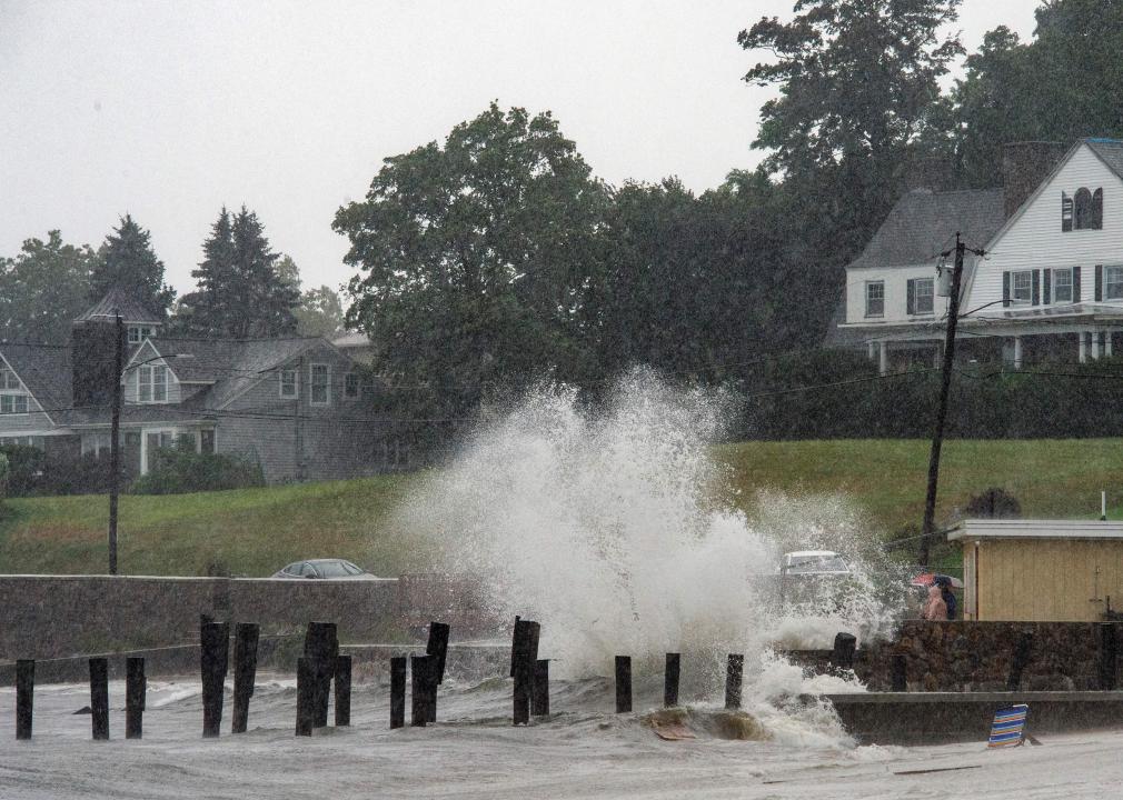
Connecticut is located on the Eastern Seaboard; the entire southern side of the state is the Atlantic coast. Because of climate change, the Atlantic hurricane season is now seeing more major storms (Category 3 or higher) than before. In early September 2021, Connecticut was hit by the remnants of Hurricane Ida and experienced flooding and around 190 power outages. “[Heavy rainfall events] are very low frequency, but they are becoming more frequent as the climate changes,” Peter Raymon, a Yale professor of ecosystem ecology, said in an article from the Yale Daily News. “It is predicted by all the models and is already showing up in our data. We have more rainfall coming in these larger events than we used to.”
Nicole Glass Photography // Shutterstock
Delaware: Spilling sewage
Due to climate change, Delaware has experienced increasingly heavy rainfall, which leads to inland flooding and, during some of the worst storms, sewage overflow. During Hurricane Sandy in 2012, 3.1 million gallons of sewage spilled in Delaware. However, the state is taking climate change seriously and recently passed three new environmental bills to curb carbon emissions, expand renewable energy use, and protect its ecosystems from plastic waste.
Joe Raedle // Getty Images
Florida: Going underwater
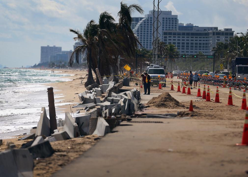
According to The Hill, Florida is the state most vulnerable to climate change. The sea level in Florida has risen about 1 inch per decade and heavy rainstorms are becoming more frequent and severe. Scientists predict the southern third of the state could be underwater by 2100, and that parts of Miami could be underwater even sooner. Democrats in the state are trying to pass an energy plan to make the state more energy-efficient through initiatives such as rewarding farmers for conserving energy and making state-funded buildings more energy-efficient, among others. However, it is unlikely that the state’s Republican lawmakers will support it.
Andrew Brunk // Shutterstock
Georgia: A threat to peaches
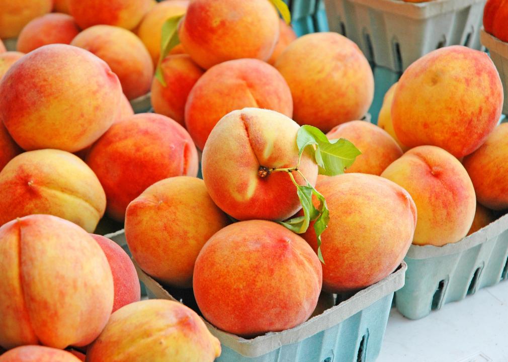
Since 1960, Georgia’s average winter temperature has increased by 5 F. That is a problem for Georgia’s state fruit, the peach. Peaches need chilly conditions, generally under 45 F, in order to be properly ready for summer harvest. Given how the temperatures are rising, Georgia’s peach industry could be gone by 2100.
You may also like: Cities doing the most for a clean energy future
George Rose // Getty Images
Hawaii: Danger for agriculture
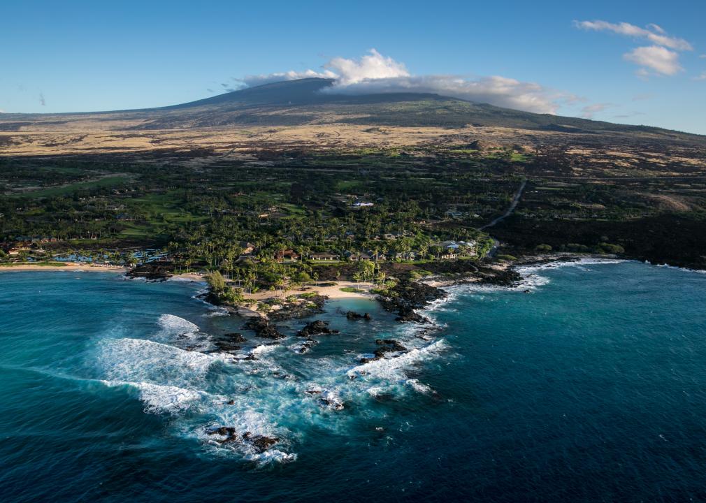
Hawaii’s agriculture is being threatened by the impacts of climate change. Between 1950 and 2010, Hawaii’s average temperature increased by about 2 F. The state’s islands have been experiencing more fires, worse droughts, more flooding, and increased heat due to climate change, all of which will have an impact on its agricultural industries. Multiple crops are affected, with topsoil being lost to flooding, corn growers having more difficulty pollinating their crops, and macadamia nut trees not flowering as easily due to increased temperatures.
Francis Dean // Getty Images
Idaho: Fewer crops—like onions
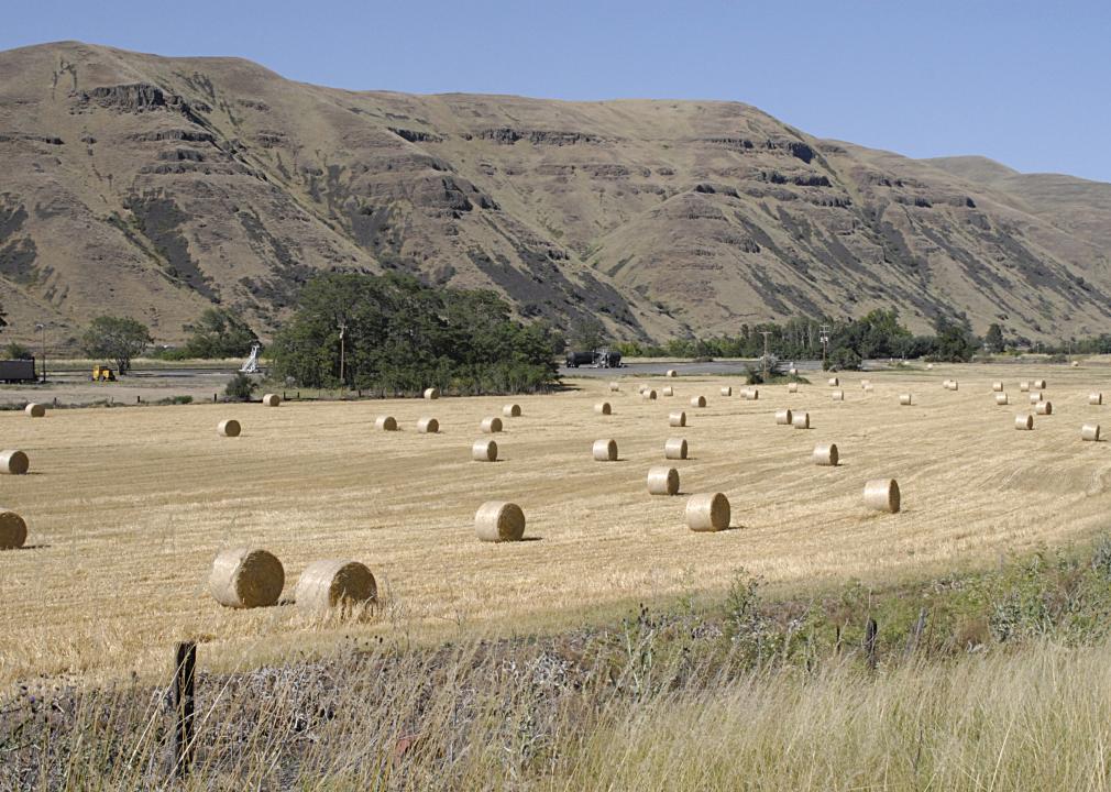
One way the state of Idaho is experiencing climate change is increased drought. It is estimated that, by 2050, Idaho will see a 110% increase in drought. However, the impacts are already being felt today. This past summer, farmers in western Idaho faced lower production due to a lack of melting snow, spring rain, and hotter-than-average temperatures. This dry spring led to a 15% to 20% loss in onion production, and also has been a threat to wildlife.
Wuttha Sripradisvarakul // Shutterstock
Illinois: Worsening air quality
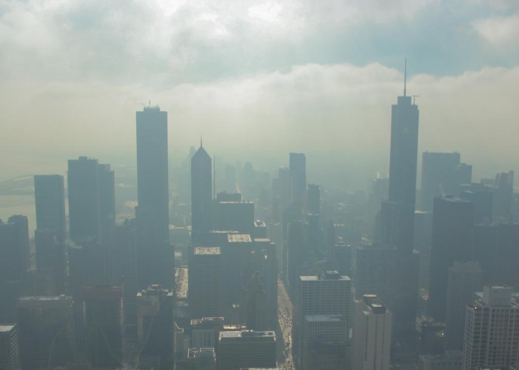
In the summer of 2020, Chicago experienced its longest streak of high-pollution air days in more than 10 years. Continually dirty air is one consequence of climate change because warmer temperatures mean more ozone production and the trapping of smog and soot. “While emissions in some ways may be decreasing somewhat, the tendency of the changing climate is to produce more days where air quality can be an issue,” Donald Wuebbles, an atmospheric sciences professor at the University of Illinois, told the Chicago Tribune.
Mardis Coers // Getty Images
Indiana: Decline in crop yields
The Indiana annual crop summary released in January 2020 showed that changing weather patterns, which can be attributed to climate change, affected the production of the state’s most important crops. In 2019, according to the U.S. Department of Agriculture, near-historic levels of precipitation caused a decline in corn and soybean production. This could potentially cost farmers hundreds of millions of dollars a year.
Scott Olson // Getty Images
Iowa: Warmer winters
In Iowa, climate change is likely to cause winter warming, including fewer sub-zero days along with more drought and heavier rainfall that leads to flooding. To deal with the impact of climate change in Iowa and globally, students in Ames formed a group named CAUSE (Citizens Actualizing and Understanding Sustainable Environments) and have asked their school district to take action in order to prevent climate change. The group is asking the district to increase energy efficiency, reduce waste, educate students more about climate change, and use energy consultants. It is similar to a plan passed in Iowa City, Iowa, a couple of years ago.
You may also like: Space discoveries from the year you were born
John Moore // Getty Images
Kansas: Not enough water
There is likely to be a decrease in available water in Kansas due to changing patterns of precipitation. Drought has been a big problem in western Kansas this year, and it is predicted that Kansas will be at risk for flooding and drought in the coming years due to extreme weather events caused by climate change. In a draft of Kansas’ water plan, released once every five years, it says, “It is not an overstatement to say that the future of habitability in much of western Kansas is at stake.”
Scott Olson // Getty Images
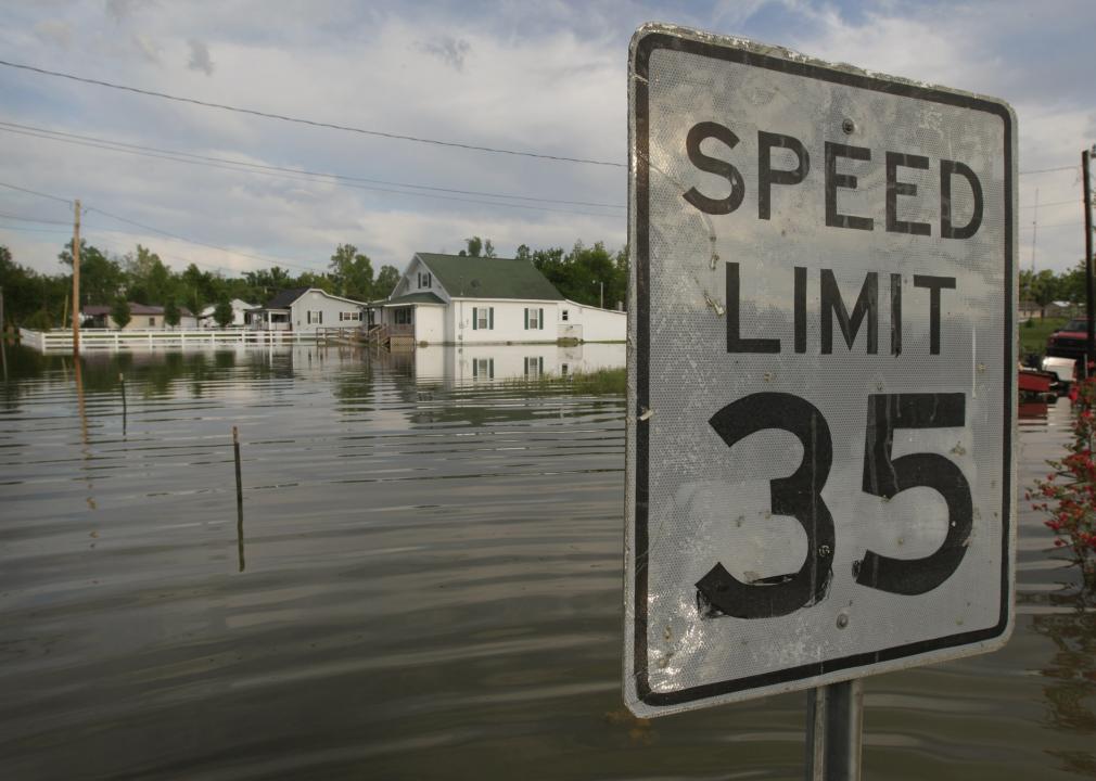
Kentucky: Too much rain
Kentucky has seen three of its five wettest years on record in the past decade, and the summer of 2020 had the most rain of any two-month period on record. This rain often comes in destructive downpours, causing severe flooding. In 2020, Louisville, Kentucky, experienced such extreme flooding that it swamped neighborhoods and hurt businesses.
Mario Tama // Getty Images
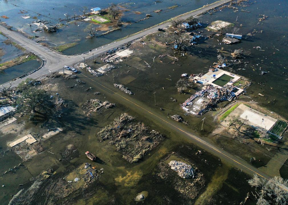
Louisiana: Climate migration
According to The Hill, Louisiana is the third most vulnerable state to climate change. The state has experienced numerous destructive hurricanes, including Hurricane Katrina in 2005 and Hurricane Ida in the summer of 2021. Disasters like these are prompting people to migrate out of the state, either because their homes have been destroyed or because they are worried about the next disaster. The outsize impact that climate change has in Louisiana has led Democratic Gov. John Bel Edwards to enter Louisiana into Race to Zero, a United Nations climate change initiative. “No state in our country is more adversely impacted by climate change than Louisiana—in just the last year alone we’ve experienced major hurricanes, flash flooding and a severe winter storm,” Edwards said. “But at the same time, no state is better positioned to be a leader in reducing carbon emissions and bolstering coastal resiliency.”
Nature’s Charm // Shutterstock
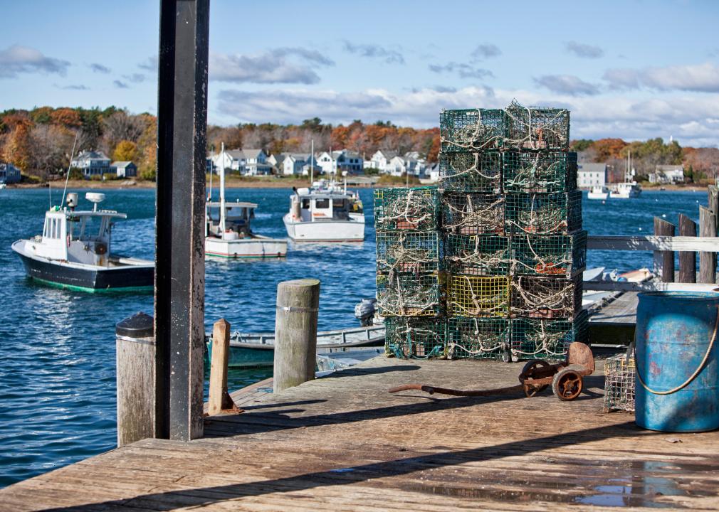
Maine: Changing the ocean ecosystem
The Gulf of Maine, located at the convergence of two major ocean currents with shallow water, is especially susceptible to warming. In fact, it is currently warming faster than 99% of global oceans. This has become a problem for Maine’s ocean ecosystem as warming waters could cause cod habitat to shrink by 90% by 2100, lobster populations to move up to 200 miles north, and allow invasive species like black sea bass to move into Maine’s waters.
The Washington Post // Getty Images
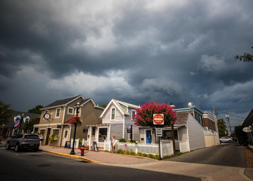
Maryland: Severe weather in the Chesapeake Bay
Maryland’s Chesapeake Bay has been impacted by the increase of severe storms caused by climate change. Both 2018 and 2019 saw record rainfall in the region, which increased sewage overflows, flooding, and water pollution. These storms also cause runoff of nitrogen, phosphorus, and sediment into the bay, which leads to more algae blooms and dead zones. Maryland Gov. Larry Hogan has taken the issue seriously and submitted a memorandum to the state’s legislative leaders in October 2021 that laid out four key principles to steer climate and environmental actions in the state, including expanding land conservation and preservation and transitioning to a cleaner economy.
You may also like: How snowfall levels have changed in 100 US cities
Joshua Lehew // Shutterstock
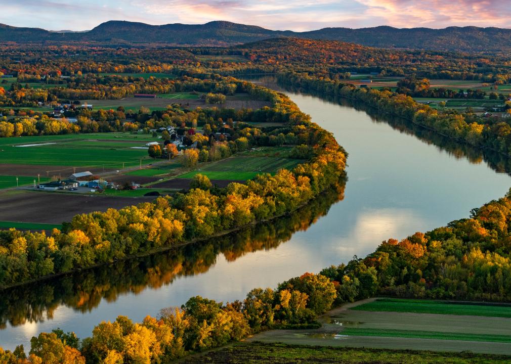
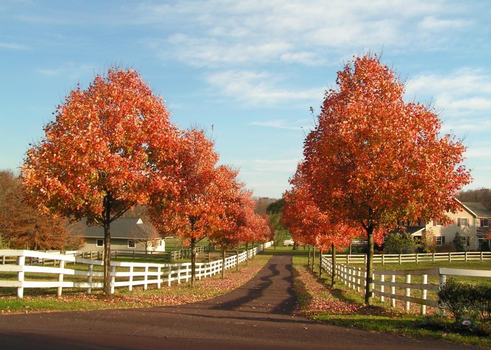
Massachusetts: Duller leaves
Because of warmer temperatures, the fall colors of New England states like Massachusetts are coming later and are harder to predict. Additionally, extreme weather events have also caused the color of leaves to be duller and have sometimes stopped the seasons altogether. What’s more, due to the changing temperatures, the distribution of the trees themselves has already started to change and will likely change further. Already in Massachusetts, there are more poplar trees, meaning more yellow and less red color in the fall.
Icon Sportswire // Getty Images
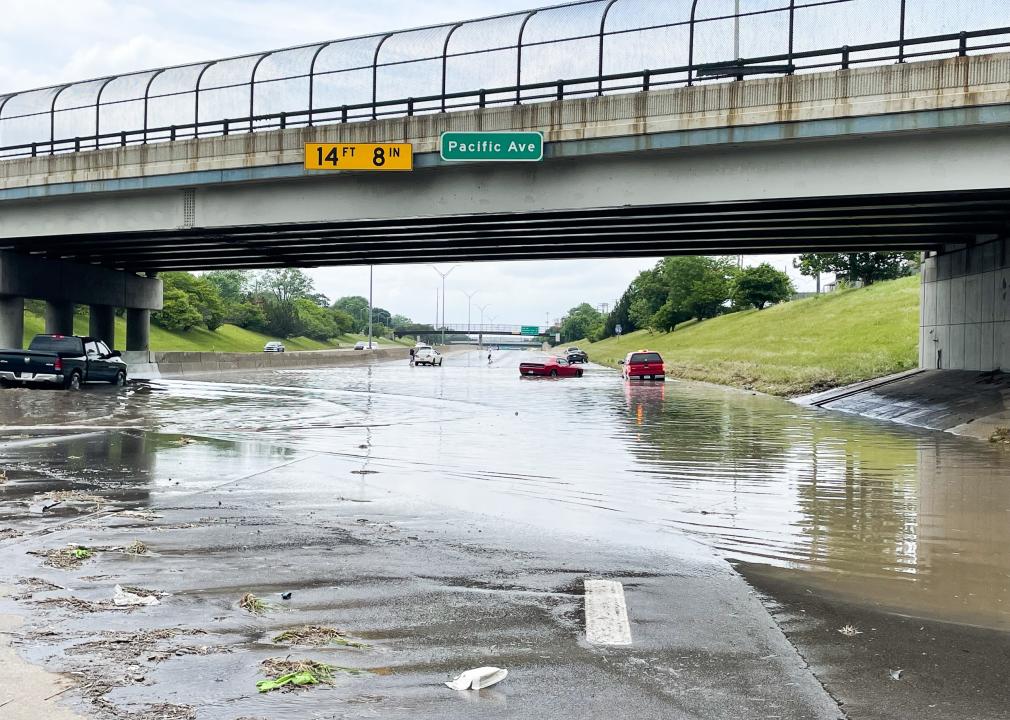
Michigan: Flooding in Detroit
During the summer of 2021, extensive flooding from extreme weather events had dire impacts in Detroit. Along with the weather itself, the failing infrastructure in the city led to people having to sometimes dig human waste out of their own basements. Unfortunately, the areas that are often hit hardest by climate change are poorer areas with Black and brown residents. “Black and brown communities are bearing the brunt of heat waves, paying disproportionately higher costs on failing infrastructure,” Michelle Martinez, the acting executive director and founding member of the Michigan Environmental Justice Coalition, said in an interview with Michigan Radio’s Stateside.
Luke Rague // Shutterstock
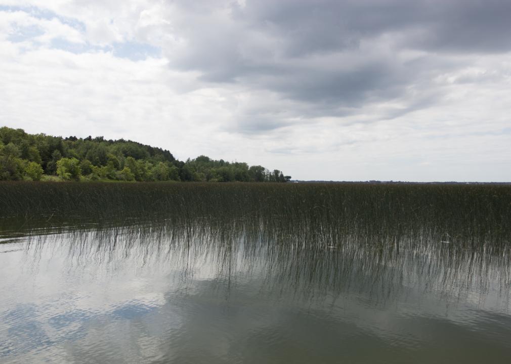
Minnesota: Changes to the wild rice harvest
Wild rice is a sacred food for the Anishinaabe, who live across northern Minnesota along with Wisconsin and Michigan. This year, the region saw a historic drought, which actually helped yield more wild rice than in years past. However, because of the drought conditions—and while the rice did grow more easily—it was more difficult to access the wild rice and harvest it this year. The harvest is done by tribe members navigating shallow water beds in a canoe and using sticks to knock the rice grains into the boat. But because water levels were so low this year, some areas could not be accessed by boat and the wild rice could not be harvested.
Tracy Burroughs Brown // Shutterstock
Mississippi: Ecosystem imbalance in the Mississippi National River and Recreation Area
Like most places, the Mississippi National River and Recreation Area is also being impacted by climate, with rising temperatures and roughly 20% more precipitation. This has an important impact on the wildlife, as warmer temperatures make it easier for pests like mosquitos and deer ticks to survive the winter. Native species may not be able to withstand the new temperatures. Instead, they could get pushed out by non-native species moving northward to escape the heat, such as the white-footed mouse and Virginia opossum.
Scott Olson // Getty Images
Missouri: More flooding
While Missouri doesn’t have coasts or forest fires to contend with, the state is still experiencing the effects of climate change. In Missouri, 62% of the years between 1981 and 2019 saw above normal levels of precipitation. The increase in water could increase flooding, which would be especially damaging in a city like Kansas City, which could see its sewer system overwhelmed and its critical infrastructure damaged. In order to mitigate the worst impacts, KC Water, Kansas City’s water utility, said it would implement a new green infrastructure that guides stormwater into areas with soil and plants, so the water soaks into the ground naturally instead of flooding the urban area.
You may also like: How climate change has affected each state
Maks Ershov // Shutterstock
Montana: Glacier National Park is losing its glaciers
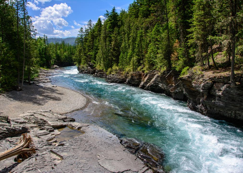
Montana’s Glacier National Park is famous for its beauty, and of course, for its glaciers. However, due to warming temperatures, the park is losing its glaciers—and fast. Right now, the park has 25 glaciers remaining, a stark contrast from the 150 that existed there in the late 1800s. And the numbers will continue to drop, as scientists predict that the park’s glaciers could completely disappear within the next two decades.
John Moore // Getty Images
Nebraska: Too much and too little water
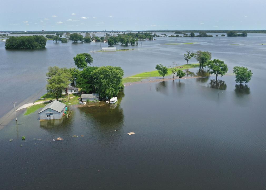
In March 2019, Nebraska experienced $2.5 billion in damages from flooding. The floods drowned calves, destroyed fields, and swept away homes. This flooding was caused by record-breaking snowfall accumulating between January and March. This extreme weather led to this flooding, but Nebraska also experiences extreme weather in the other direction: drought.
PATRICK T. FALLON // Getty Images
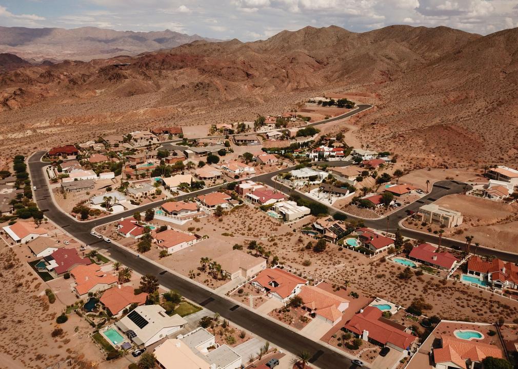
Nevada: Extreme heat
Nevada experienced record-breaking heat in the summer of 2021. Las Vegas was especially impacted, as it is an urban heat island, and the county where it is located saw 82 heat-related deaths in 2020. While this heat does and will continue to impact everyone, it is especially bad for Nevadans who suffer from respiratory illnesses, who are elderly, and those who live in areas with low air quality, which are often people of color and those living in poorer communities. States at Risk estimates that in Nevada, around 70,000 people are part of these vulnerable communities that will be most impacted.
Wangkun Jia // Shutterstock
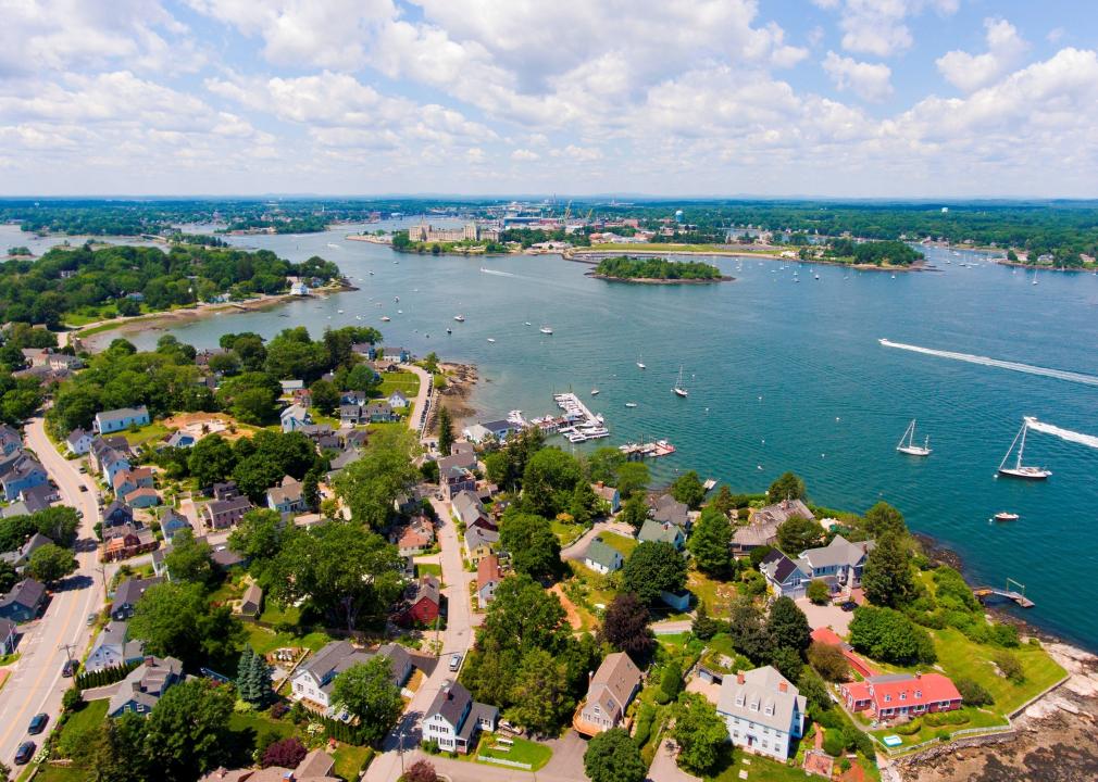
New Hampshire: Increased coastal flooding
Because of a sea level rise due to climate change, there are already many people living in New Hampshire’s coastal communities who are seeing increased coastal flooding. This will only get worse in the coming years. By 2045, 2,000 current residential properties, where around 3,000 people reside, will be at risk of chronic flooding. This is around $645 million worth of property.
FotosForTheFuture // Shutterstock
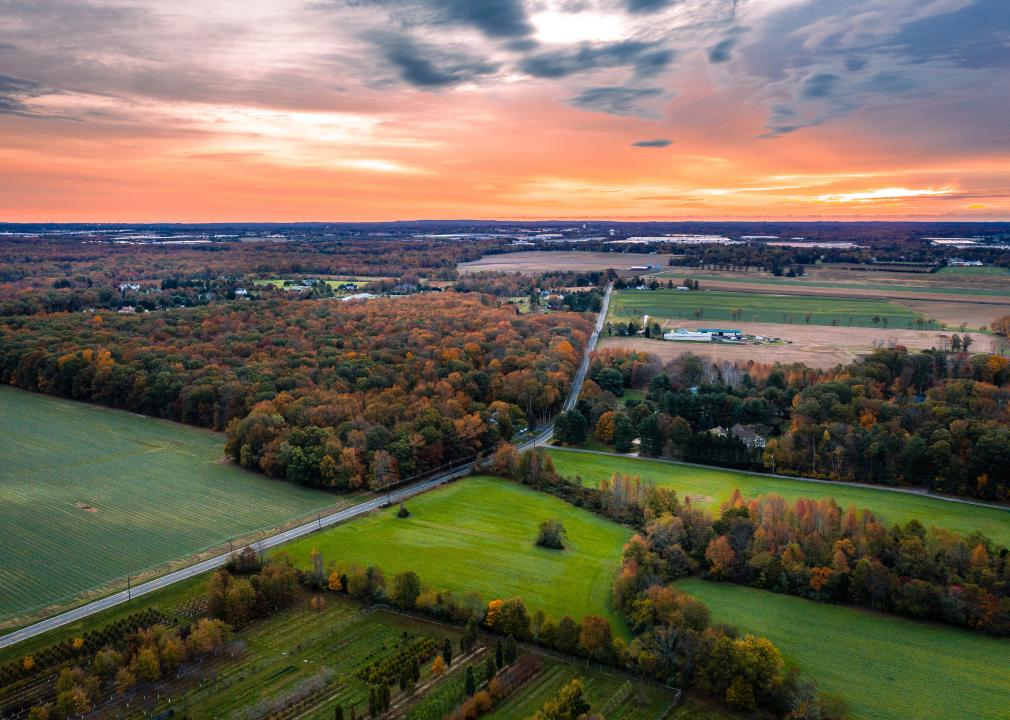
New Jersey: More disease-transmitting insects
Temperatures in New Jersey are rising faster than the national average, and its warmest 10 years since 1895 have all come after 1990. This has many impacts on the state, including an increase in insects. Because warmer temperatures and moist climates lead to more mosquitos, New Jersey saw a record number of West Nile cases in 2018, including three deaths, and in 2019, the state had the earliest ever reported case when a man was diagnosed on June 21.
You may also like: 50 space terms for understanding the universe
Robert Alexander // Getty Images
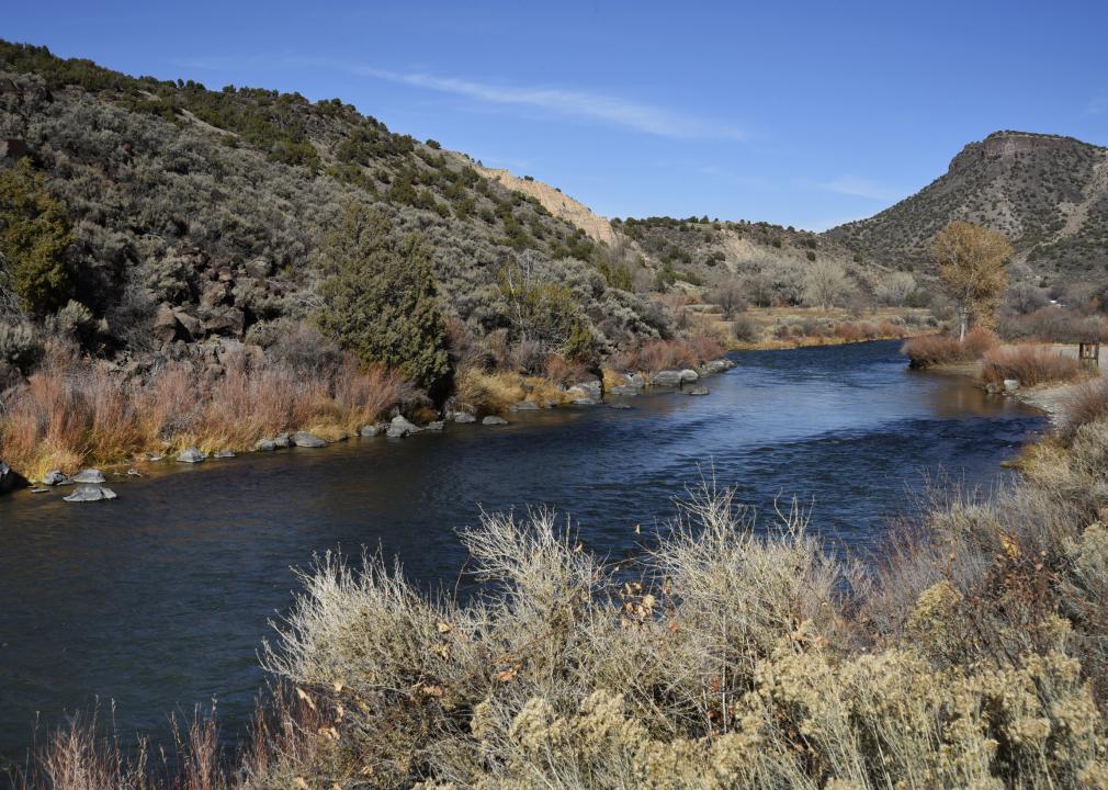
New Mexico: The Rio Grande is drying up
Each year from 2009 to 2014, the Rio Grande was drier than average, and the period between 2011 and 2013 was the driest and hottest since record-keeping began. A comprehensive study found that flows from 2000 to 2014 were almost 20% below the average of the 20th century and that roughly one-third of this reduction was attributable to climate change. While the Rio Grande is known for having a couple of dry years followed by a couple of recovery wet years, the warming temperatures make each dry year even drier and each wet year less wet, making long-term recovery more difficult.
David Dee Delgado // Getty Images
New York: Killer storms
In September 2021, a storm caused by the remnants of Hurricane Ida, which had hit the New Orleans area the day before, flooded New York City and killed at least 43 people in New York, New Jersey, Pennsylvania, and Connecticut. The storm also flooded New York City’s subways for the third time in the summer of 2021, showing how vulnerable the city’s infrastructure is to the effects of climate change. While the city is testing innovations to make the subways more flood-proof, such as flex gates, there is still much to be done for the city’s infrastructure.
Chip Somodevilla // Getty Images
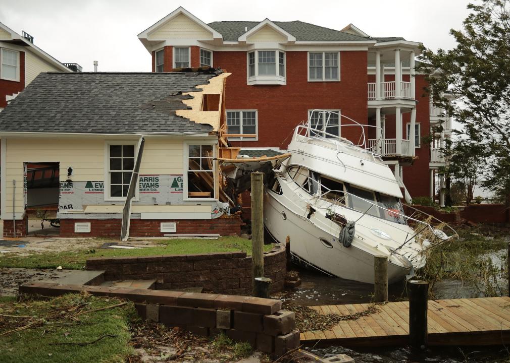
North Carolina: Billions in storm damage
North Carolina saw two 500-year storms—storms so severe that they historically only took place once every 500 years—within 23 months of one another in 2016 and 2018. Hurricane Matthew, which hit North Carolina in October 2016, cost the state roughly $1.5 billion, and Hurricane Florence, which hit in September 2018, cost around $2 billion. In response to climate change, which contributes to the frequency and severity of these storms, North Carolina Gov. Roy Cooper issued Executive Order No. 80, which calls for a 40% drop in greenhouse gas emissions in the state by 2025, establishes the North Carolina Climate Change Interagency Council, and directs state agencies to take actions to reduce emissions.
northlight // Shutterstock
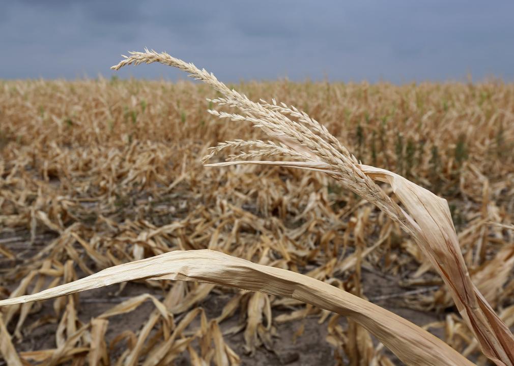
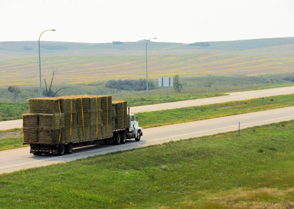
North Dakota: Mega-drought
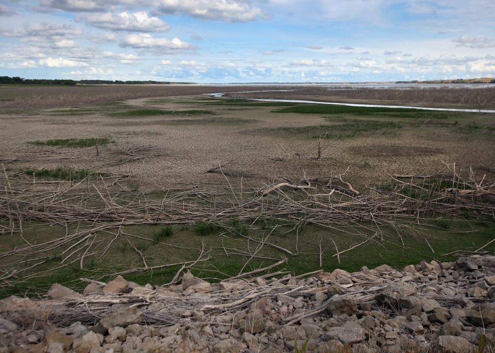
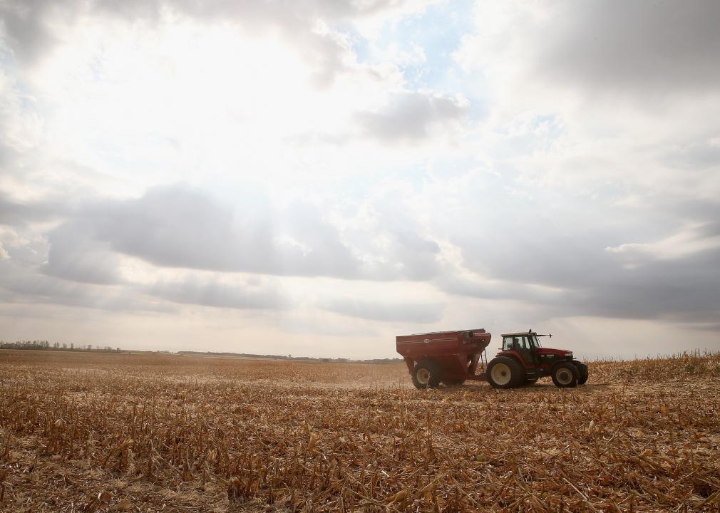
North Dakota is currently experiencing a mega-drought, and it’s gotten so bad that it’s being compared to the Dust Bowl of the 1930s. The drought has forced ranchers to sell off their herds, and it’s been so dry that they haven’t been able to grow their own hay. They are worried that they won’t have enough food to keep their remaining cattle alive through the winter. Thanks to climate change, North Dakota is almost 2.5 F warmer than it was 100 years ago, leading to more frequent erratic swings in weather.
Michael Shake // Shutterstock
Ohio: Changes to Lake Erie
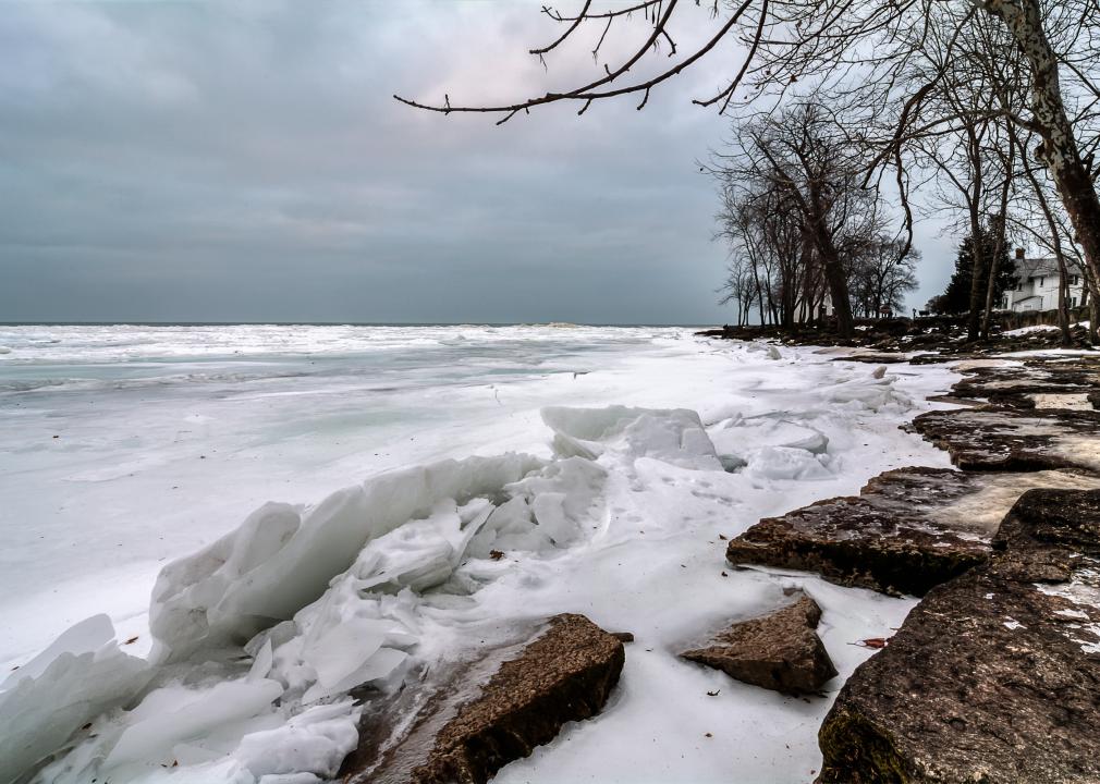
According to the 2018 Fourth National Climate Assessment report, climate change has been affecting the Great Lakes, including Ohio’s Lake Erie. Due to warming in the Midwest, there is an increase of lake-effect snow, and in the future, as temperatures warm further, that could shift to rain. In addition, there are increased lake surface temperatures leading to decreased ice coverage, which could actually lead to more snow. Lake Erie is also seeing more algae blooms due to the increased temperature. In 2014, cyanobacteria from an algae bloom polluted the drinking water of Toledo, Ohio.
You may also like: 40 major glaciers in danger of melting
Eugene R Thieszen // Shutterstock
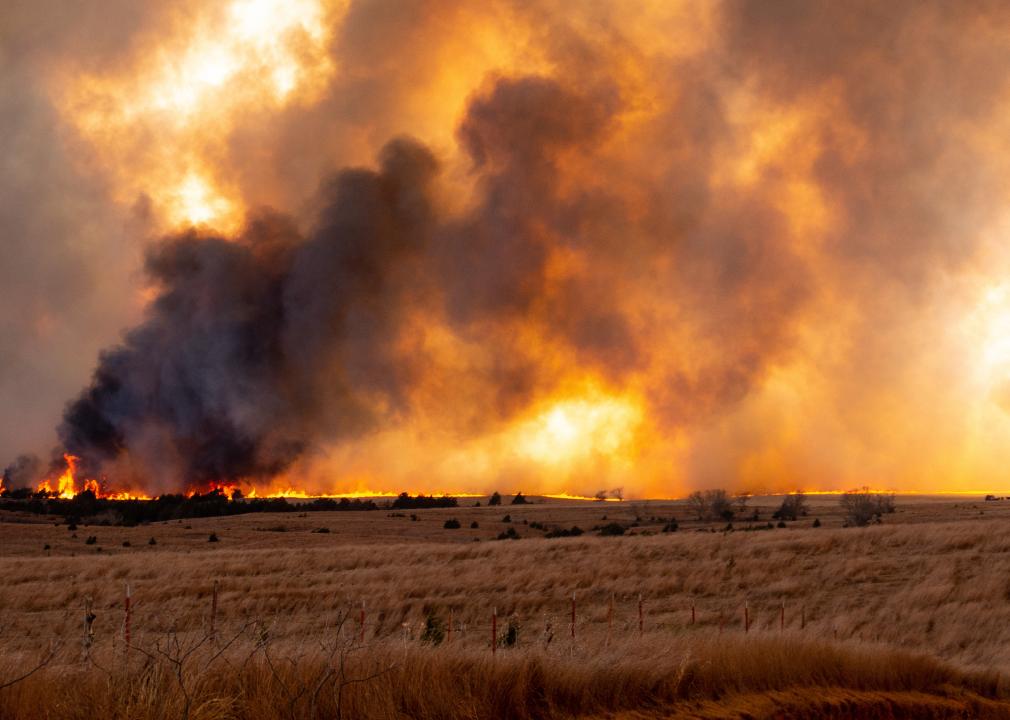
Oklahoma: More wildfires
While wildfires are generally considered a problem for the Western United States, thanks to climate change, they are beginning to take place further east—in Oklahoma, for example—according to a report from Climate Central. In 2018, Oklahoma experienced more than 1,000 wildfires, and more than 4 million residents live in areas that have an increased risk of wildfires.
Clifford Wayne Estes // Shutterstock
Oregon: Changes to natural systems
As temperatures get warmer in Oregon, the state’s wildlife is being impacted. Insects are moving up into the state from southern states, and pest species such as the mountain pine beetle are increasing in numbers. In addition, the migration patterns of many bird species are changing, and flowering is taking place sooner due to the earlier arrival of springlike temperatures. This can lead to mismatches in the life cycles of interdependent species, such as certain insects or birds, and puts these native species in danger.
BONNIE WATTON // Shutterstock
Pennsylvania: Stressed trees
According to The Hill, Pennsylvania is the fifth least vulnerable state to climate change. However, it is still experiencing some impacts from the warming temperatures, for example, as some of its native trees are being stressed. The black cherry and sugar maple, which are both commercially valuable hardwoods, are seeing their numbers decline, and trees that are currently dominant in the southern part of the state, such as hickories and oaks, may move northward.
Kwangmoozaa // Shutterstock
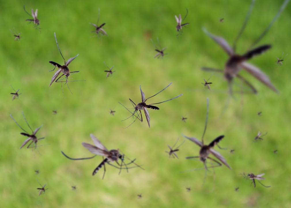
Rhode Island: More mosquitoes
As temperatures rise in Rhode Island, so do the number of mosquitoes. Between 1980 and 1989, there was an average of 97 days per year that the state experienced temperatures ideal for mosquitoes. That number has risen, however, and since 2006, there are 113 of those days per year. And mosquitoes aren’t just annoying—they bring diseases with them, such as Eastern equine encephalitis and West Nile virus.
Sean Rayford // Getty Images
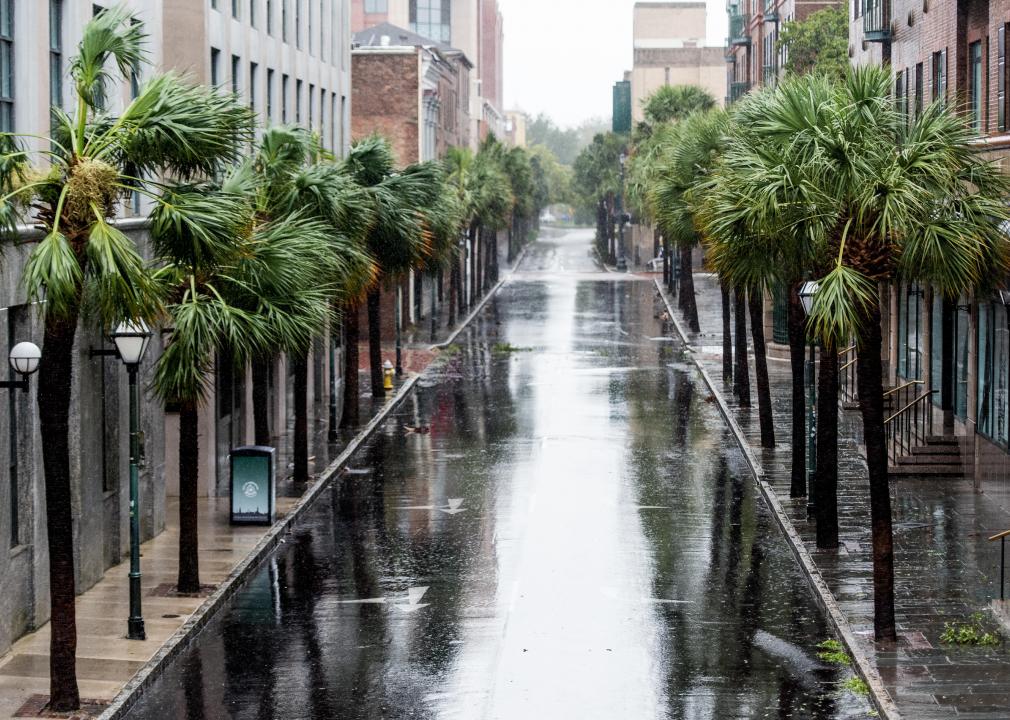
South Carolina: Rising sea levels
The sea level around the city of Charleston, South Carolina, has risen 10 inches since 1950, and forecasts predict that by 2030, it will have risen another 6 inches. Since 2000, flooding across the state has increased by 75%, and there are already more than 90,000 properties at risk from this flooding. In order to prevent damage, South Carolina is planning to spend over $2 billion for sea level rise solutions, such as raising roads, beach renourishment, seawalls, and improving drainage.
You may also like: The pioneering life of Bill Nye—from science celeb to space innovator
Scott Olson // Getty Images
South Dakota: Flooded farms
Like so many states, because of climate change, South Dakota is simultaneously facing not enough and too much water. The state experiences drought, but it is also experiencing heavier rainfall at times, which is generally uncommon in the state. In September 2019, between 10–13.5 inches of rain fell throughout the state in a 48-hour period, causing severe flooding. The flooding is especially concerning to farmers because, in 2019, the Department of Agriculture reported that weather conditions prevented the use of 4 million acres of farmland.
Anadolu Agency // Getty Images
Tennessee: Flash floods
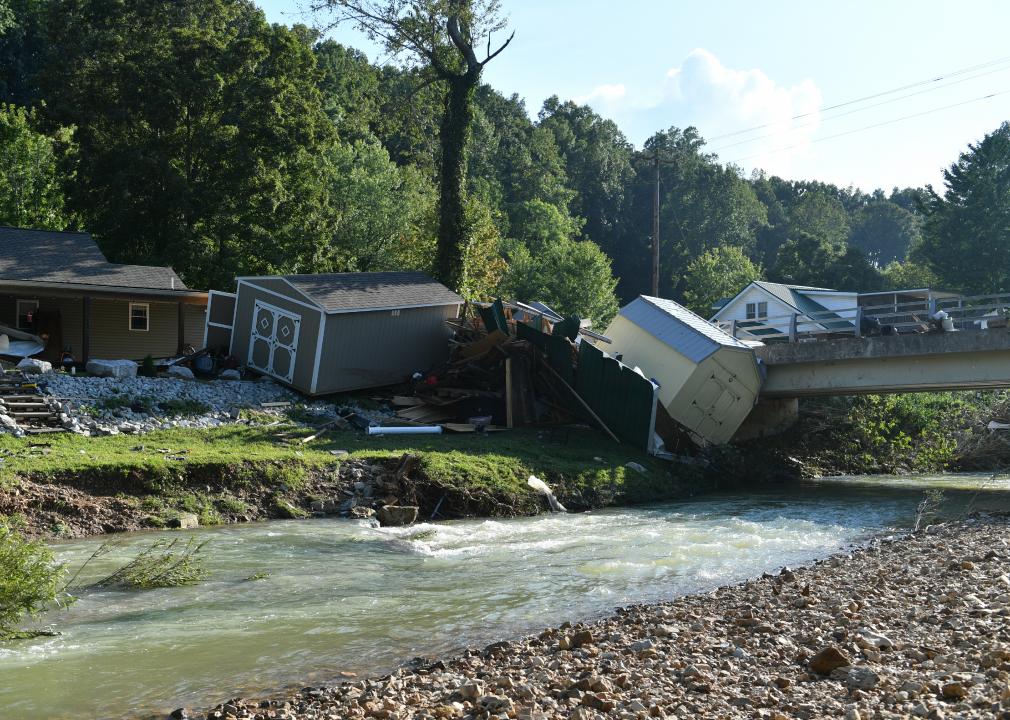
In August 2021, parts of Tennessee were hit by record-breaking amounts of rainfall that caused unexpected flash flooding, killing at least 21 people. In less than 24 hours, 17 inches of rain fell in Humphreys County. While a single weather event alone can’t be definitively attributed to climate change, a federal study found that climate change doubles the chances of these types of heavy downpours taking place.
Joe Belanger // Shutterstock
Texas: Severe cold wave
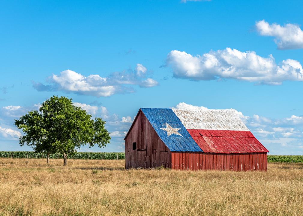
In February 2021, Texas experienced a cold snap so severe that it caused millions of people across the state to lose power, nearly 150 deaths, and at least $20 billion in damages. A recent study from Science found that cold waves like Texas’ can be caused by a stretching of the polar vortex, due to temperatures and reduced sea ice in the Arctic caused by climate change. The study showed that this polar vortex stretching has been responsible for some of the worst cold waves in parts of Asia, Europe, and North American in recent years.
AaronP/Bauer-Griffin // Getty Images
Utah: Shorter ski seasons
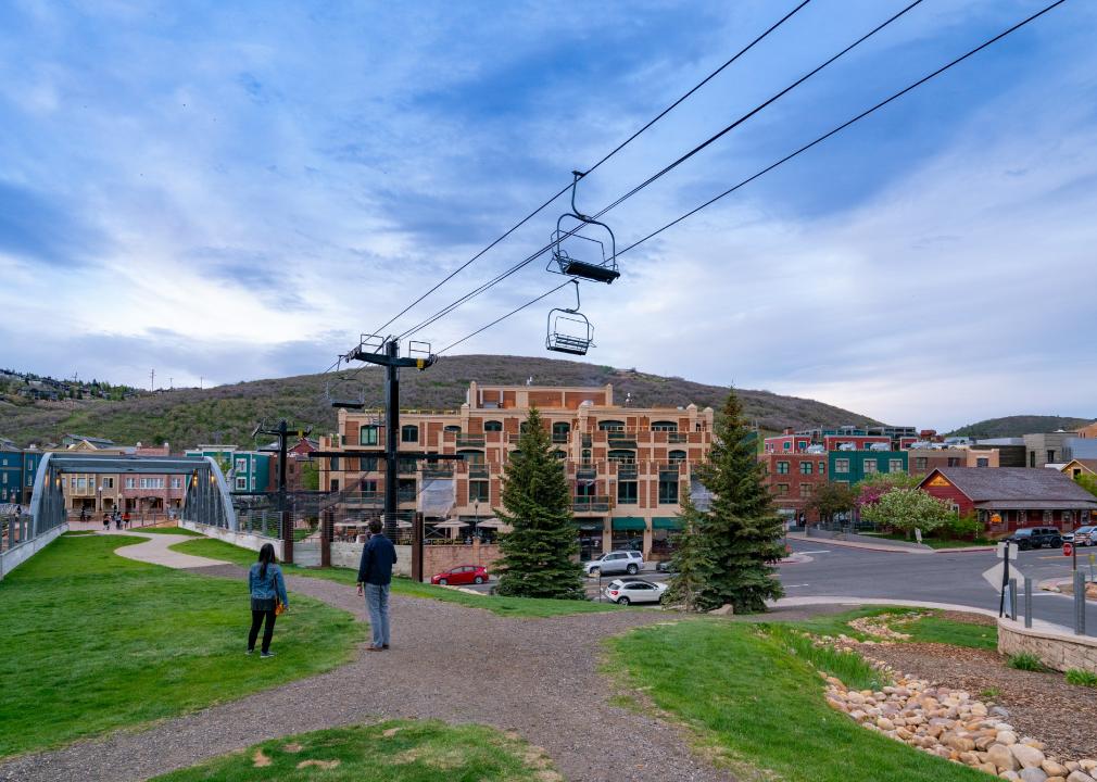
Utah is known as being a great place for snow skiing, but in the past 100 years, the state has warmed by an average of 2 F, increasing the average low temperature at the state’s 14 ski resorts. There are also fewer cold days ideal for skiing, and Utah’s snowpack, snow quality, and the length of the ski season are also likely to decline. Ski resort managers are trying to adapt to these changes by making artificial snow, but this is also difficult due to the lack of water and infrastructure.
Edward Fielding // Shutterstock
Vermont: Less maple syrup
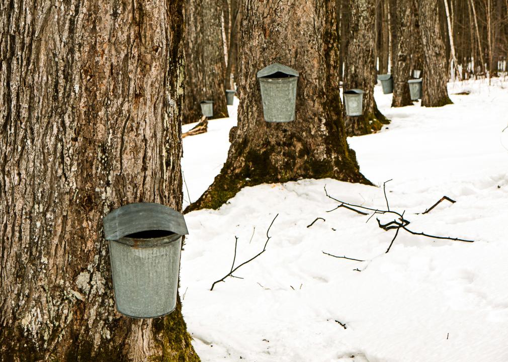
Because of the warmer and drier growing seasons that are a result of climate change, sugar maple tree growth has become stunted. Maple trees need to reach a size of at least 10 inches in diameter at chest height in order to be tapped, and if the trees do not have the conditions to grow large enough, maple syrup producers could see their output dry up. As America’s largest producer of maple syrup, Vermont will be impacted by this problem. However, farmers are adapting. Because sap needs temperatures below freezing at night and above freezing during the day in order to flow from the taps, sugaring season, which used to begin around March, has now been starting in January because the weather is warmer earlier.
Linda Harms // Shutterstock
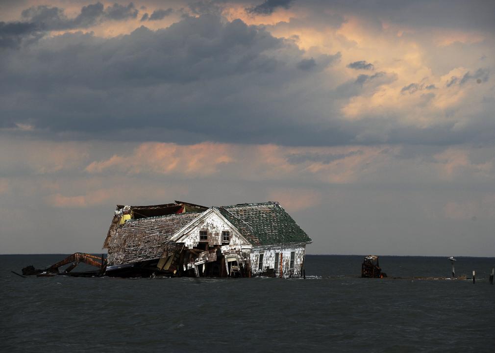
Virginia: An island being washed away
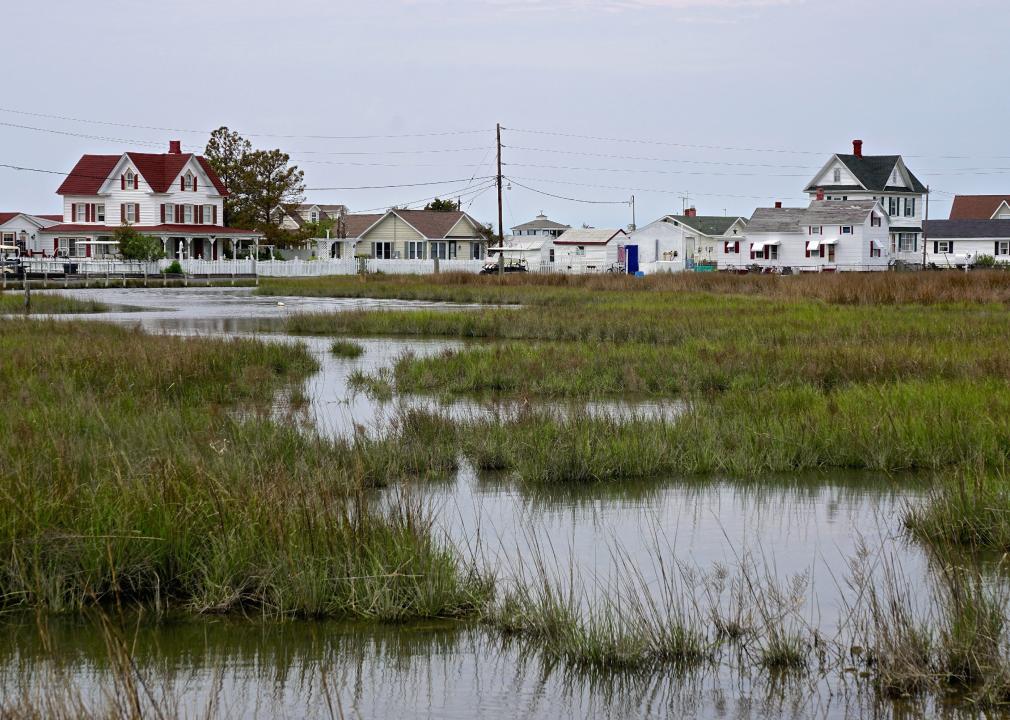
Tangier Island is a 5-mile-long island located in the Chesapeake Bay between Maryland and Virginia, but part of Virginia, and is home to 600 people. Unfortunately, the island is slowly shrinking, as it is washed away due to rising sea levels from climate change, along with erosion. Since 1850, the island has shrunk by two-thirds. However, the population is conservative, so many residents don’t believe that what is happening is due to the changing climate or human activity.
You may also like: Space discoveries that will blow your mind
JASON REDMOND // Getty Images
Washington: Extreme heat
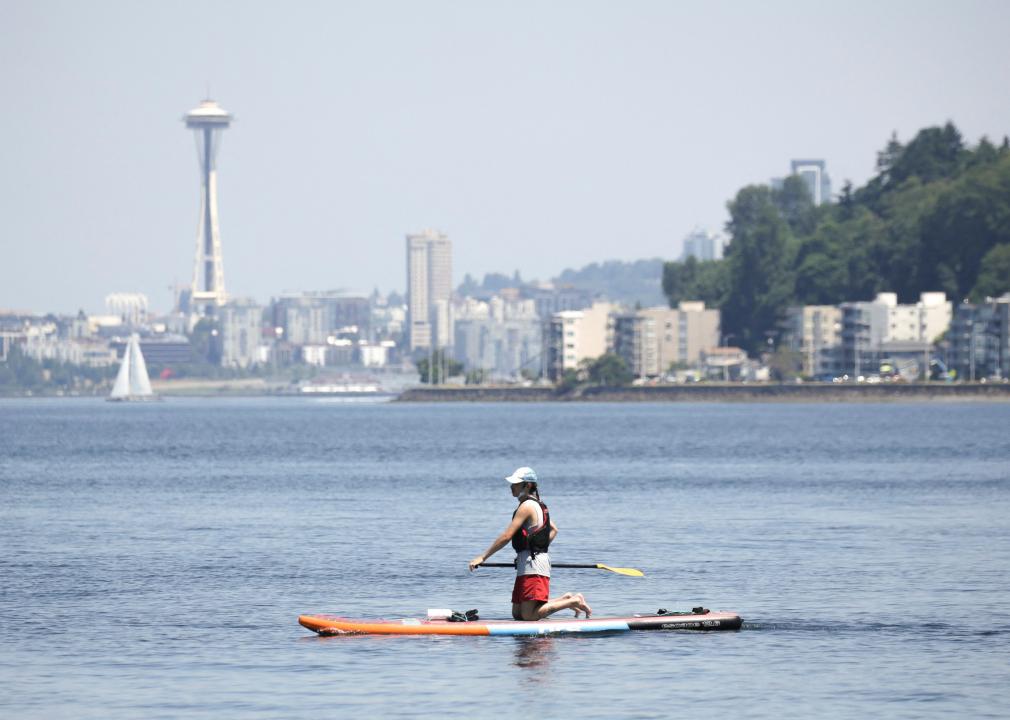
Washington state made headlines in June 2021 when it was hit by an extreme heat wave that saw temperatures well over 100 F and saw Seattle’s hottest day ever on June 28 when temperatures hit 108 F. The state saw another heat wave in July 2021 and while temperatures weren’t as high, droughts meant that wildfires broke out across Washington and neighboring Oregon and Idaho. According to scientists, these heat waves were made 150 times more likely by climate change.
Ty Wright // Getty Images
West Virginia: Increased rainfall and flooding
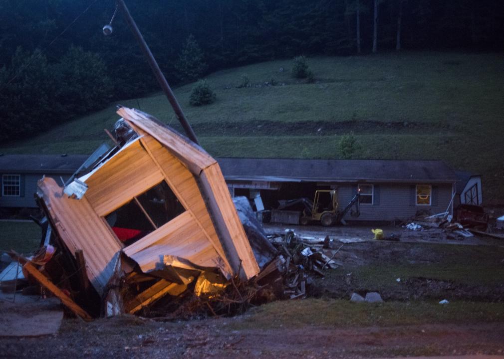
Climate change is contributing to increased rainfall in West Virginia. The state is one of the most prone to flash floods due to the geography of the Appalachian Mountains, which channel water very quickly downstream to larger rivers. West Virginia is the United States’ second-largest producer of coal, the more carbon-intensive source of fuel, and sources 94% of its own electricity from coal-fired plants.
Aaron of L.A. Photography // Shutterstock
Wisconsin: Rain and drought fluctuations
Each year in Wisconsin, the amount of rain and snow has increased by around 15%, and extreme rains are becoming more common in the state. However, these periods of heavy rain are then interspersed by periods of heavy drought. This has been especially challenging for farmers who have had to adapt to the heavier rains and keep soil and nutrients in their fields.
Shawn Hamilton // Shutterstock
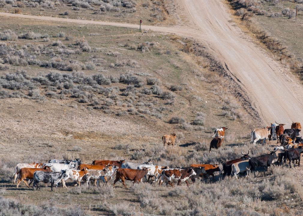
Wyoming: Increased droughts
As of the summer of 2021, Wyoming was in a multi-year drought that was the state’s worst since 2013. And 2020 was Wyoming’s fifth-driest and 16th warmest summer since 1895. By 2050, Wyoming is expected to see a 40% increase in the severity of widespread drought. The result of these worsening droughts will be more wildfires and more stress for farmers, ranchers, and wildlife.
