4,500-acre Grandview Fire jumps Whychus Creek, 5% contained; more Level 3 evacuations
(Update: New acreage, containment figures; expanded Level 3 evacuation zone, but Jefferson County sheriff says lower winds 'promising')
SISTERS, Ore. (KTVZ) – The day-old Grandview Fire kept growing fast in Monday’s hot, dry and windy conditions, crossing Whychus Creek and triggering more Level 3 “Go Now” evacuations in Jefferson and Deschutes counties. But late Monday night, as winds calmed, there was a new, 4,500-acre size, and the first containment at 5%
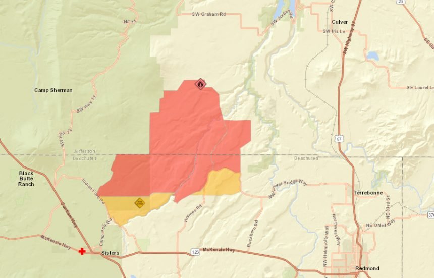
A 7:30 p.m. alert from Jefferson County Sheriff Marc Heckathorn said areas of Jefferson County west of Northwest Lower Bridge Way and north of Holmes Road in Deschutes County were now in a Level 3 “GET OUT” evacuation, meaning residents need to leave immediately.
Officials said the expanded alert did not impact Crooked River Ranch, Culver or the Three Rivers Recreation Area.
Heckathorn, just back from the Level 3 area on Lower Bridge, did share with NewsChannel 21 some good news late Monday night: "Low winds this late evening and night, at this point. Things look promising."
A growing army of firefighters, more than 350 by late Monday, worked through the night and another hot, windy day Monday to protect structures and stop the fire, burning on private lands protected by the Oregon Department of Forestry and the Crooked River National Grassland managed by the US Forest Service.
By Monday morning, crews and bulldozers had preliminary containment lines or retardant around the majority of the fire, burning eight miles east of Black Butte and west of Whychus Creek, officials said in Monday afternoon's update.
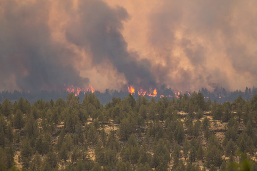
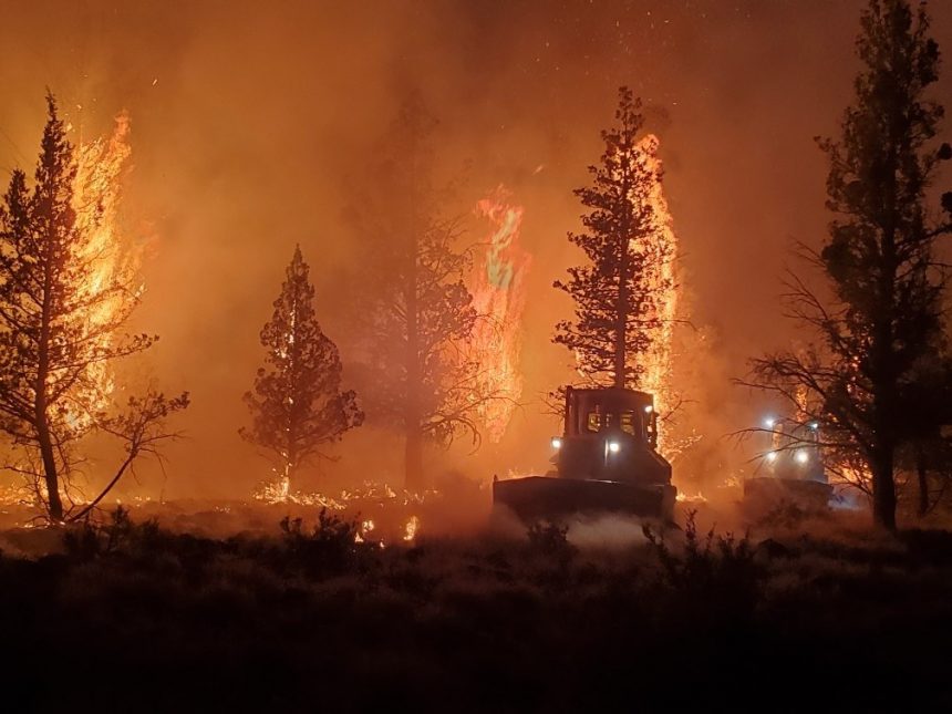
Fire behavior was extremely active Sunday afternoon and through the evening hours and crews were challenged by numerous spot fires and group tree torching.
Monday's fire growth initially was westerly, pushed by an east wind, but by afternoon, forecast northwest winds were beginning to push on preliminary fire lines to the south.
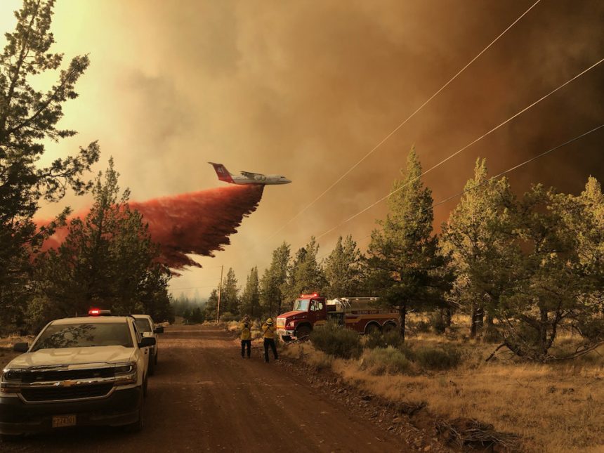
Around 4:30 p.m., officials said fire behavior was increasing amid hot, dry conditions that have made grass, brush and conifers "receptive to ignition and resistant to suppression tactics." Air tankers were dropping retardant to assist ground crews.
A Central Oregon task force of structural protection fire engines, including one from Marion County, have been focused on point protection around Holmes Road and Squaw Creek Canyon Estates.
Crews Monday worked to hold and secure fire lines put in place by several bulldozers with the assistance of five large air tankers dropping retardant to decrease fire behavior, and two helicopters dropping water to cool hot spots.
A Central Oregon Fire Management Service Type 3 team had been in command of the fire and transitioned to a Type 1 Oregon Department of Forestry team at 6:00 p.m. Monday.
For up-to-date information on the Grandview Fire, visit: https://inciweb.nwcg.gov/incident/7651/
As she has for several Oregon fires in recent weeks, Gov. Kate Brown on Monday invoked the Emergency Conflagration Act in response to the Grandview Fire.
“With several large fires burning throughout Oregon, I want to reiterate how important it is for all Oregonians to be prepared and to remain vigilant about fire prevention, especially with activities that could spark fires," Brown said.
In accordance with ORS 476.510-476.610, the governor determined that a threat to life, safety, and property exist due to the fire, and the threat exceeds the firefighting capabilities of local firefighting personnel and equipment.
The governor's declaration cleared the way for the State Fire Marshal to mobilize firefighters and equipment to assist local resources battling the fire. OSFM personnel responded with a communications unit and a cache trailer loaded with incident support supplies, tools to enhance defensible space around structures, and other provisions firefighters need to inhabit a fire camp.
More task force crews arrived Monday to help protect structures from the over 4,000-acre Grandview Fire that broke out Sunday afternoon northeast of Sisters and southwest of Culver. Although the fire had so far not moved into Deschutes County, a new Level 1 evacuation notice was issued for a threatened area to the south.
"Fire behavior is very active," the Central Oregon Interagency Dispatch Center said in a late Monday morning update.
"Firefighters are working to secure lines constructed overnight," they said. "Tankers are being used to support these efforts on the ground."
Jefferson County Marc Heckathorn said at midday Monday the fire had grown to over 4,000 acres but remained within Jefferson County, so far.
Heckathorn later Monday afternoon issued a Level 1 "Be Ready" evacuation notice for property in Jefferson County west of Northwest Lower Bridge Way, north of Holmes Road.
The Deschutes County Sheriff's Office issued a new Level 1 (Get Ready) evacuation notice just before 1 p.m. Monday for the Holmes Road/McKenzie Road area.
"There is a threat to your area and you should be ready to evacuate," the notice said. "Persons with special needs or those with pets/livestock should consider precautionary evacuation."
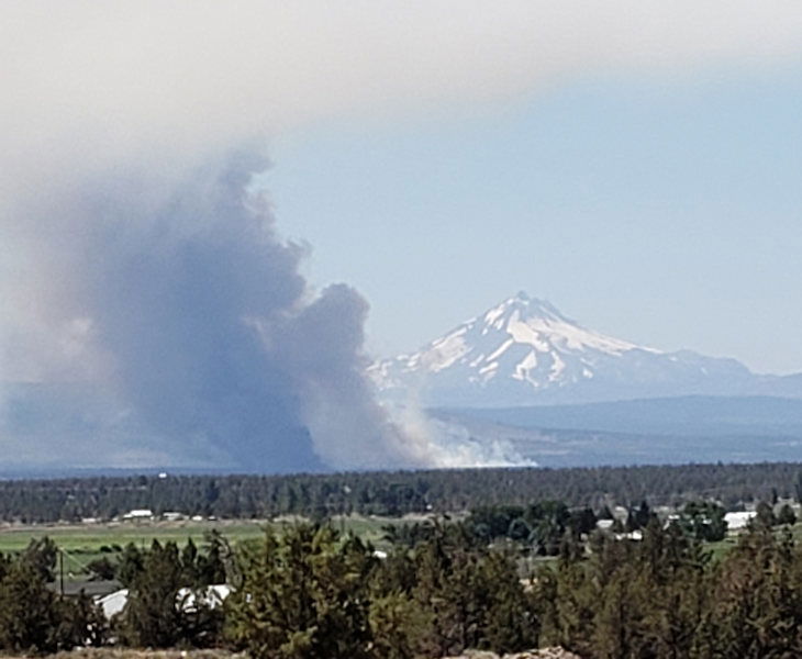
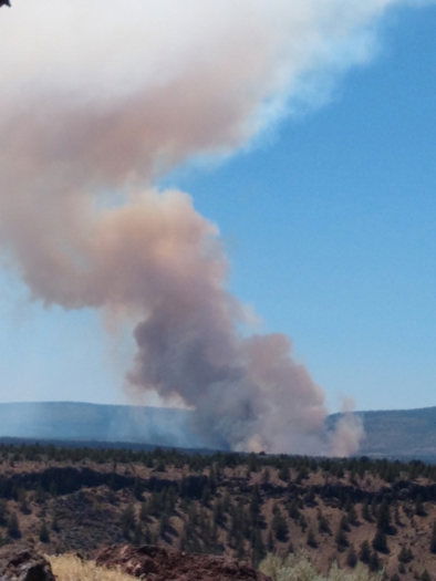
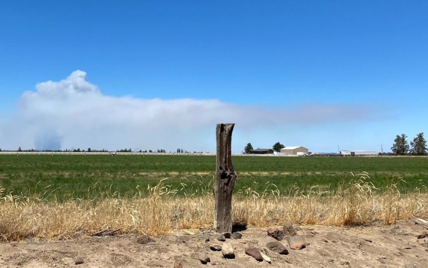
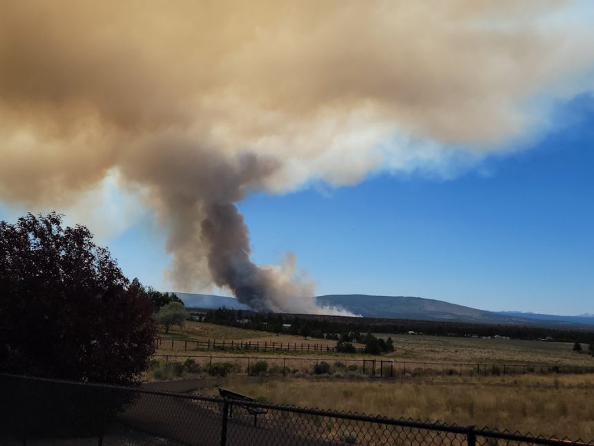
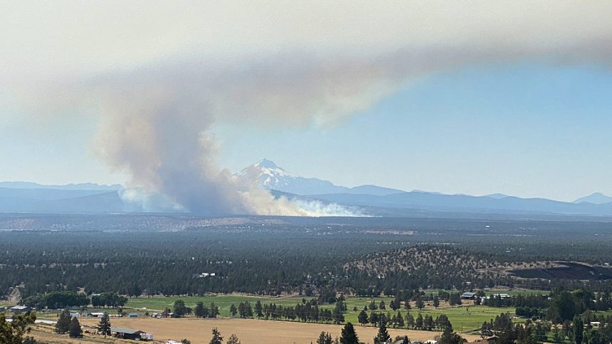
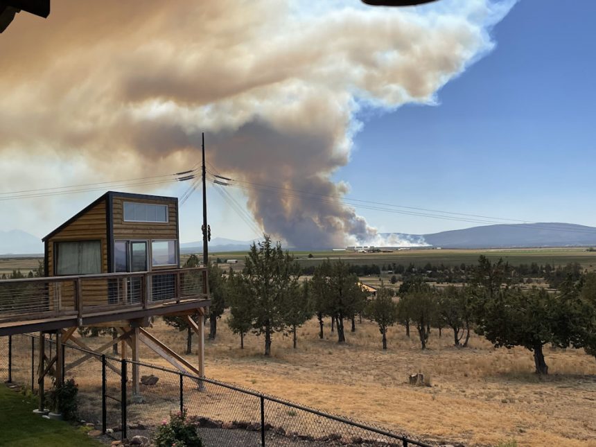
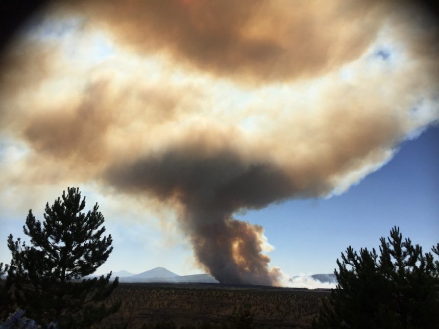
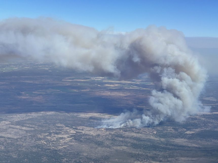
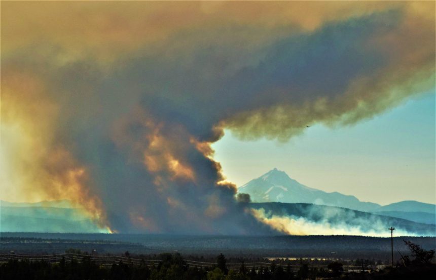
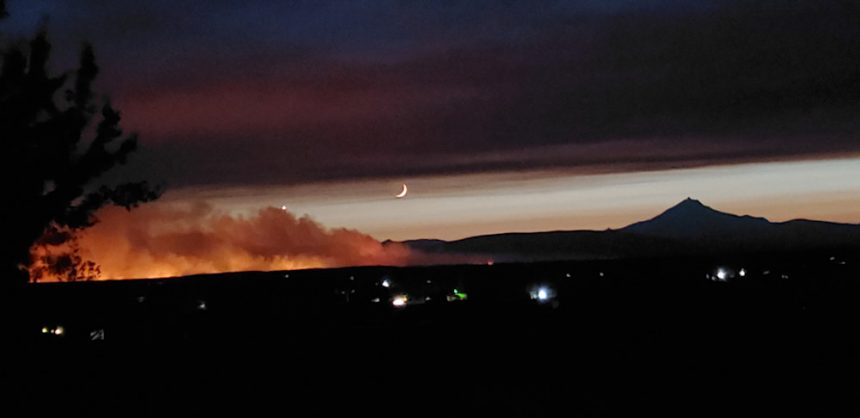
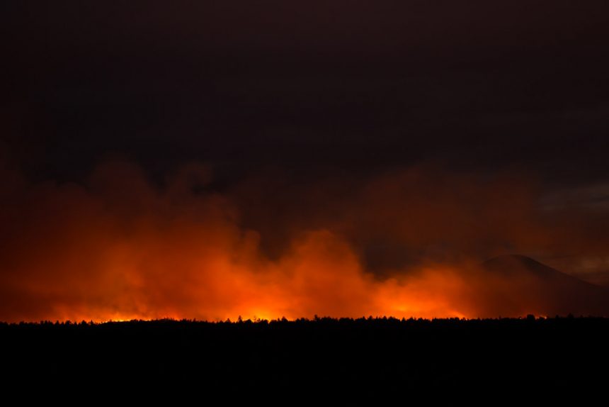
The Grandview Fire was reported around 1:30 p.m. Sunday about 14 miles northeast of Sisters and raced south, growing to an estimated 2,000 acres by midnight after putting up a tall smoke plume visible for many miles as engine crews and air tankers rushed in to fight it. A widening area of Jefferson and Deschutes counties were placed under evacuation orders before nightfall, and the very active fire glowed intensely as crews worked through the night.
Meanwhile, a fire east of La Pine Sunday was stopped as it burned actively in the hot, dry weather and had a bulldozer line around it at 54 acres, so officials dropped a Level 1 "Be Ready" evacuation notice for Newberry Estates Sunday night.
The Grandview Fire broke out in the Grandview area of Jefferson County, burning on the Crooked River National Grassland and private lands protected by the Oregon Department of Forestry, west of Crooked River Ranch and south of the Three Rivers Recreation Area, ODF spokeswoman Christie Shaw said.
The fire, which began 10 miles southwest of Culver, spread rapidly though grass and juniper, as single-engine air tankers (SEATs) and large air tankers dropped numerous loads of retardant until dark as the fire spread toward the south-southwest, Shaw said.
The cause of the fire was under investigation. Residents across the area reported seeing ashfall from the blaze.
On Sunday, Heckathorn said properties along Geneva Road and Tye Flat were under a Level 3 (GO NOW) evacuation order and residents there were evacuated by late afternoon. Other areas to the south were under Level 1 (GET READY) or Level 2 (GET SET) evacuation alerts - to see a map, visit the interactive page here: https://arcg.is/CCvT5
Wilt Road and Geneva Road between Sisters and Three Rivers were closed, he said.
As the fire kept spreading to the south-southwest, areas that had been under Level 2 evacuation alert south to the Jefferson County line were stepped up to Level 3 (Go Now) shortly before 8 p.m. Evacuation levels to the south, in Deschutes County, also were revised.
Around 9 p.m., the Deschutes County Sheriff's Office issued Level 3 (Go Now) evacuation orders for all areas north of 17830 Mountain View Drive and homes on the north end of Holmes Road. Level 2 (Get Set) evacuation notices were given for the Squaw Creek Canyon subdivision.
Busy structural protection task forces could be heard on scanners, working to prepare properties, evacuate residents and identify staging areas and "safety zones," in case the advancing fire prompted their use for fire crews' safety.
American Red Cross volunteers were assisting Deschutes County with establishing a temporary evacuation point at Sisters Middle School for those affected by the fire. "Anyone who needs assistance can just show up," the organization said.
The Deschutes County Sheriff's Office also said the county fairgrounds in Redmond was accepting large animals from areas affected by the fire; no reservation needed. Those needing help transporting animals were urged to contact the Pet Evacuation Team at 541-610-6628.
The Deschutes Land Trust closed three of its Sisters-area preserves to help firefighters as they battle the blaze. Effective immediately, Camp Polk Meadow Preserve, Indian Ford Meadow Preserve, and Whychus Canyon Preserve are closed to all use.
"Please respect the closure and stay out of the area so firefighters and those that may need to leave their homes can do what is needed," the land trust announcement said. "The preserve closure will be in place until fire danger passes."
Heckathorn said Sunday afternoon that Crooked River Ranch, Three Rivers. Camp Sherman and Cove Palisades State Park "are not under any evacuation order and are open." Crooked River Ranch Fire & Rescue told residents by Facebook that while the smoke was very visible from the fire west of the ranch and north of Sisters, it was not threatening the ranch.
Shaw said the fire broke out near the location of the Geneva and Geneva 2 fires of several years ago. "We've had numerous fires in that area," she said.
Meanwhile, in the La Pine area, Incident 559, named the Newberry Fire broke out Sunday afternoon, south of Rosland Road near Finley Butte.
Shaw said it grew to 10-plus acres by late afternoon with groups of trees torching, but a bulldozer line was around the blaze at 54 acres before nightfall. Air resources had headed to both fires from nearby dispatch centers.
A Level 1 (Be Ready) evacuation notice was issued for the Newberry Estates subdivision due to the Newberry Fire, but dropped shortly before nightfall.
Hand crews, bulldozers, water tenders and wildland engines worked to contain that blaze, with support from the air. Shaw said firefighters will work Monday to secure the fire lines and begin mop-up.
The Deschutes County Sheriff's Office advised residents to be aware of the danger and to monitor websites for information.
With increased fire activity, it is a good time to make sure you are set to receive evacuation alerts. Jefferson County https://member.everbridge.net/892807736724035/login… Deschutes County https://deschutes.org/911/page/sign-deschutes-emergency-alerts… Crook County http://alertcrookcounty.org
