Thick smoke from other big blazes helps cool 121,000-acre Falls Fire on Malheur National Forest, now 15% contained
(Update: Sunday fire update)
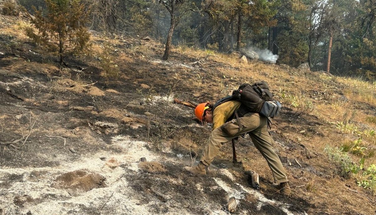
BURNS, Ore. (KTVZ) -- More than 1,600 firefighting personnel working to stop the 11-day-old, nearly 121,000-acre Falls Fire on the Malheur National Forest have been helped the past three days by heavy smoke from other blazes in the region, reducing wind and temperatures on the lines.
Here's Sunday's update:
Falls Fire Update for July 21, 2024
Size: 120,919 Start Date: July 10, 2024 Location: 13 Miles NW of Burns, Oregon
Containment: 15% Total Personnel: 1,634 Cause: Human-caused, under investigation
Structures Triaged: Residences: 283; Commercial: 65; Outbuildings: 460
Resources Assigned: 46 hand crews, 103 engines, 25 bulldozers, 32 water tenders
Aerial resources available to the fire: two helicopters, and single-engine air tankers (SEATS).
Yesterday (Saturday), for the third consecutive day, fire growth on the Falls Fire was moderated by a persistent heavy smoke layer keeping wind and temperatures lower over the fire. Night and day shift operations have been taking advantage of this opportunity to build more direct and indirect containment lines, as well as holding and mopping up. The fire remains approximately 13 miles north of Burns, 11 miles southwest of Seneca, 7.5 miles south of Izee, and 3 miles west of Highway (Hwy) 395.
In the northwest corner of the fire, firefighters worked on securing line and mopping up small spots over FSR 47. Resources continued constructing direct line with dozers and hand crews on Forest Service Road (FSR) 4785 toward Burnt Mountain. Construction of secondary contingency dozer line is nearly complete to the west near Snow Mountain along FSR 4781. Firefighters scouted for additional secondary line both north and south off FSR 4781. Structure crews continued to remove or minimize vegetation and other fuel sources around homes and ranches in the Izee Valley.
Along the northern flank, heading toward the northeast corner of the fire, crews and dozers continued to establish control line along FSR 3750 working easterly to connect into FSR 37 and FSR 31. Preparation continues for a small tactical burnout operation east of FSR 31 south of Myrtle Park Meadows to strengthen control lines. Structure crews supported burnout operations and continued hardening surface prep at cabins and homes off FSR 37. Crews lined and controlled some additional spots in the area with support from helicopter bucket drops.
Control lines along much of the southern portions of FSR 31 and west to FSR 43, continued to hold firm as mop-up operations are ongoing. Oregon State Fire Marshal (OSFM) crews positioned along FSR 31 assisted with mop up and conducted patrols along existing lines.
Today, in the northwest corner, crews will continue constructing and securing direct dozer line along FSR 4785, as well building secondary contingency line on FSR 4781 out to Snow Mountain. Near FSR 3750 and FSR 47, firefighters will continue to extinguish sources of heat along control lines and prepare for a small tactical burnout operation to secure a previous slop-over in that area. Crews are looking for opportunities to build control lines in the Donivan Mountain and Alsup Mountain areas.
Going further east along the northern flank, dozer and hand line construction will continue along FSR 3750 with the objective of connecting control lines into FSR 37 and FSR 31. Firefighters are preparing to conduct a series of tactical burnout operations along this road system to secure control lines when conditions are favorable. On the northeastern corner of the fire, just south of Myrtle Park Meadows, mop-up work will continue on a 200 acre slop-over along the FSR 31 Road. Structure crews will support burnout operations and continue hardening surface prep at cabins and homes off FSR 37.
Further north, away from the fire perimeter, crews are constructing a planned secondary contingency line along FSR 37 just west of Hwy 395 in the Fisk Gulch area. This secondary contingency line is part of an alternate plan and will run east to west using portions of FSR 37 and FSR 31. In the southern and western sections of the fire, much of the established control line that extends from the southeast corner, over to the western flank of the fire, firefighters will continue to hold, improve, and mop-up control lines. Firefighters and OSFM task force resources will be focusing on a concentration of hotspots in the Red Hill area. Today, OSFM crews will continue to reevaluate assessments and harden structures to ensure they are well protected should they become threatened.
A Red Flag warning remains in place for dry and unstable conditions. The fire weather forecast calls for clearer air and for a dry front to move in over the area, which will cause winds to increase and bring a 10% chance for thunderstorms in the early afternoon. Winds will be from the east and breezier than the last couple of days with the chance of gusty outflow winds should thunderstorms develop. A Heat Advisory remains in effect lasting into Monday with temperatures approaching 100 degrees. These conditions have the potential to produce rapid fire growth.
Evacuation notices remain in effect in Grant and Harney counties. For the most accurate evacuation information, please visit the Harney County Sheriff’s evacuation map here: https://tinyurl.com/3zst4sjy, or the Grant County Emergency Management Facebook page at: https://www.facebook.com/profile.php?id=100068819321423.
The Malheur National Forest issued a fire area closure. A detailed map and additional information about the fire area closure are available at: https://www.fs.usda.gov/detail/malheur/news-events/?cid=FSEPRD1189259.
A temporary flight restriction (TFR) remains in place over the fire area.
U.S. Forest Service fire investigators are seeking the public’s assistance with any tips or information pertinent to the start of the Falls Fire on the Malheur National Forest. Please submit any information that could assist fire investigation efforts to SM.FS.R6TipHotLine@usda.gov.
Facebook: https://www.facebook.com/p/Falls-Fire-2024-61562126623985/
InciWeb: https://inciweb.wildfire.gov/incident-information/ormaf-falls-fire
Fire Information Line: 541-208-4370, staffed 8 a.m. to 8 p.m.
Email: 2024.Falls@firenet.gov
Harney County non-emergency evacuation questions: 541-589-5579
Air quality questions: 541-573-2271
Smoke Outlooks: https://outlooks.airfire.org/outlook
