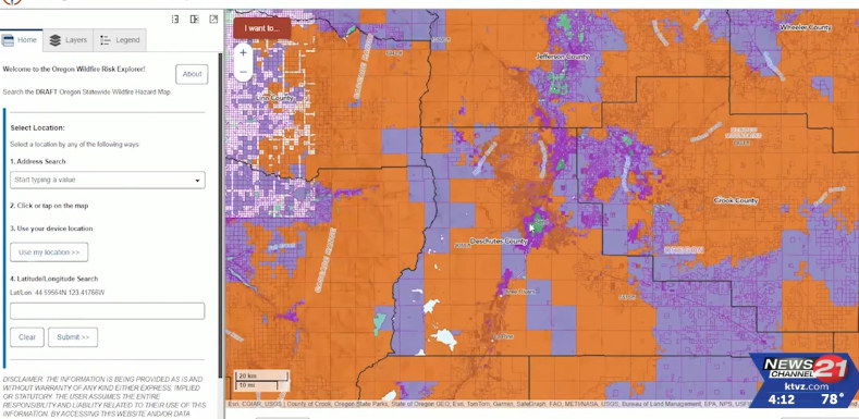
Deschutes County encourages residents to review, comment on draft wildfire hazard map

BEND, Ore. (KTVZ) -- Deschutes County is encouraging residents to review and comment on a draft version of the statewide wildfire hazard map, which is available on the Oregon State University Wildfire Risk Explorer website.
The wildfire hazard map was created to:
- Help educate residents about wildfire hazard in their community
- Assist public agencies when prioritizing wildfire hazard reduction efforts
- Identify locations where a defensible space and fire-hardening is needed
- Improve the safety and well-being of communities across Oregon
Using the address search function on the map, residents and property owners can learn if their property is classified as a low, moderate or high wildfire hazard. They can also find out if their property is located in, or adjacent to the wildland-urban interface (WUI), where development and vegetation intermingle. Only properties that are high hazard and listed in the WUI will be subject to new development regulations, which include defensible spaces and/or fire-hardening building codes.
The wildfire hazard map cannot be used to:
- Adjust property owners’ insurance rates
- Require property owners to make modifications to their property unless significant updates are planned for structures
The current wildfire hazard map is still in draft form. The public is encouraged to submit written comments about the map to the Oregon Department of Forestry (ODF) at hazardmap@odf.oregon.gov. The comment period will remain open until Sunday, August 18. ODF and OSU will evaluate all comments received during the public comment period and determine whether changes to the map are necessary.
The final version of the wildfire hazard map is expected to be released on October 1.
More information can be found on the ODF wildfire hazard web page.