Deschutes National Forest planning to ban campfires, camping in some areas
To stop adverse impacts to forest resources; objection period begins
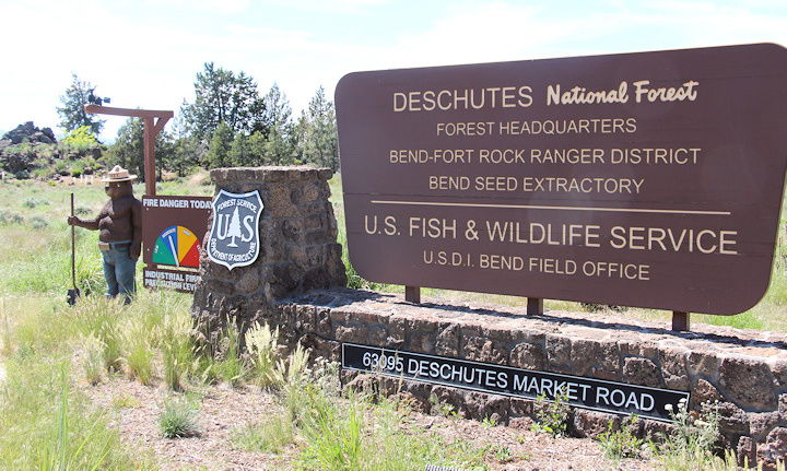
BEND, Ore. (KTVZ) -- The Deschutes National Forest released a draft decision notice Thursday on an environmental analysis that combines several previous closure orders with some added closures around the Cascade Lakes Scenic Byway on the Bend-Ft. Rock Ranger District and the Whychus area on the Sisters Ranger District.
Following up on an announcement made in February, the draft decision notice and finding of no significant impact for the Camping and Campfires Forest Order would prohibit camping and/or campfires in specific areas where these activities are causing adverse impacts to forest resources.
Specifically, the draft decision addresses the following new closures:
| Area | Prohibited Activities |
| Whychus Creek Wild and Scenic River Portal Area (1,190 acres) | Camping outside of existing designated dispersed camping sites Building, maintaining, attending, or using a fire or campfire outside of existing designated dispersed camping sites |
| Three Creeks Lake Area (460 acres) | Camping outside of developed campgrounds and existing dispersed camping sites Building, maintaining, attending, or using a fire or campfire outside of developed campgrounds and existing dispersed camping sites |
| Cascade Lakes Highway Scenic Views Corridor (3,040 acres) | Camping Building, maintaining, attending, or using a fire or campfire Dispersed camping would be prohibited in this area along portions of National Forest System Roads 4600120, 4604, 4604400, 4610, and 4612246 on both sides of the road (approximately 5.3 miles total). |
| Tumalo Creek Area (1,760 acres) | Building, maintaining, attending, or using a fire or campfire |
| Deschutes Wild and Scenic River Corridor (Forest boundary at Bend to County Road 40) (8,650 acres) | Building, maintaining, attending, or using a fire or campfire outside of developed day use areas |
| Deschutes Wild and Scenic River Corridor (Forest boundary at La Pine State Recreation Area to Wickiup Reservoir) (5,720 acres) | Building, maintaining, attending, or using a fire or campfire outside of developed campgrounds, developed day use areas, and existing dispersed camping sites |
Prior closures now combined into this more comprehensive analysis and decision include closures in the following areas: Bend Municipal Watershed, Whychus Riparian Area Corridor, Upper Tumalo Creek Area, Hosmer Lake and Mallard Marsh, Newberry Caldera and Crescent Industrial Camp.
A 45-day objection period began Thursday. Only individuals who have submitted written comments during the project scoping or other established comment periods are eligible to file objections, and they must be based on previously submitted comments. An objection must include the objector’s name and address, with a telephone number.
Objections delivered by mail must be postmarked by the closing day of the objection filing period, October 19, and received before close of the 5th business day following the end of the objection period.
If you are using postal mail or carrier (UPS/FedEx), please notify Debbie Anderson (debbie.anderson2@usda.gov or 503-808-2286) so that we may ensure your objection has been received.
Postal mail: Regional Forester (Reviewing Officer), Pacific Northwest Regional Office, Attn: 1570 Objections, P.O. Box 3623, Portland, OR 972083623.
For FedEx or UPS deliveries, please send to: Regional Forester (Reviewing Officer), Pacific Northwest Regional Office, Attn: 1570 Objections, 1220 SW Third Avenue, Portland, OR 97204.
