Rain could mean ‘season-ending event’ for 204K-acre Lionshead Fire
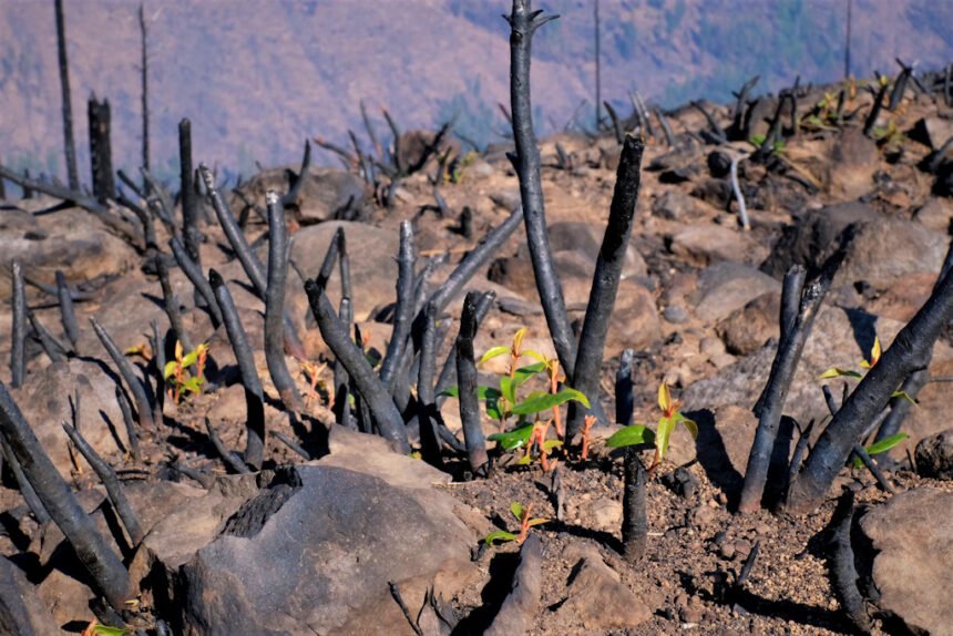
REDMOND, Ore. (KTVZ) -- Fire managers said Sunday this weekend's rain may have been a "season-ending event" for part of all of the 204,469-acre Lionshead Fire, though the 46% containment figure hasn't changed for several days.
Confederated Tribes of Warm Springs Lionshead Fire Update
Sunday, Oct. 11
Brian Gales, Incident Commander
Aaron Schuh, Deputy IC
| Start date: Aug. 16, 2020 | Containment: 46% | facebook.com/LionsheadFire |
| Fire size: 204,469 acres | Public information: 971-277-5075 | https://inciweb.nwcg.gov/incident/7049/ |
REDMOND, Ore. –. Firefighters will be assessing any new hazards resulting from Saturday’s rain as well as its effectiveness at suppressing the fire.
“I’m optimistic the areas to the west have reached a season-ending event level,” Fire Behavior Analyst Dean Warner said last night. “With the additional rain coming [today], it could be a season-ending event for the entire fire.”
By Saturday afternoon, rainfall totals on the west end of the fire ranged from 1-1/2 to 2-1/4”, while the east side received 0.1 to 0.4”. Elevations above 5,500 feet received a dusting of snow.
Rain and conditions on the ground forced many divisions to pause operations Saturday, but that does not mean firefighters were idle. Aviation took the opportunity to conduct training exercises, while crews in the field sharpened chainsaws and tools, restocked supplies, performed equipment maintenance, and other chores.
Firefighters never rely entirely on the local weather forecast. In the field, crews collect observations for their specific location every hour, including temperature, relative humidity and wind direction, and making tactical decisions based on that information.
On large incidents like the Lionshead Fire, an incident meteorologist is brought in to constantly monitor and evaluate the weather in and around the fire zone. Crews relay their field findings to that person to give them additional insight.
Satellite data and information collected from National Weather Service Remote Automatic Weather Stations (RAWS) also help paint a more comprehensive picture. On the reservation, a portable incident RAWS was installed near the northeast corner to improve the forecast for the area where interior burning has been most active for the past two weeks.
Showers are expected to continue today and into Monday, then resume late Tuesday. Wednesday will bring in another warming, drying trend, which could stimulate very low intensity burning on the east side of the fire.
“The most we might see is smoldering and creeping, which will produce smoke,” Warner said. While the immediate threat of active fire has passed, many hazards remain and area closures may remain in place for some time, including a hunting closure on the reservation. For information about the most current closure orders for public lands, visit https://inciweb.nwcg.gov/incident/7049/
Meanwhile, on other Oregon wildfires, the 138,054-acre Riverside Fire has reached 61% containment as of Sunday, the 193,556-acre Beachie Creek Fire is at 71% containment and the 173,393-acre Holiday Farm Fire has reached 96% containment, the latter reporting steady rain Saturday, over 1 1/2 inches.
Here's a Forest Service video on the Burned Area Emergency Response Team's efforts on the Holiday Farm Fire:
