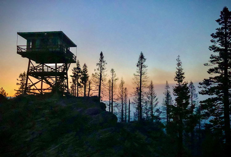
Wildfires blasting through West draw states to lend support; Bootleg 42% contained
BLY, Ore. (AP) — Out-of-state crews are heading to Montana to battle a blaze that injured five firefighters as the West struggles with a series of fires that have ravaged rural lands and destroyed homes.
Authorities say progress is being made on the nation’s largest blaze, the Bootleg Fire in Oregon, but additional mandatory evacuations were ordered Friday evening, and less than half of it has been contained.
Meanwhile, crews from California and Utah were headed to Montana, where five firefighters were injured Thursday as they worked the Devil's Creek blaze near the town of Jordan.
In California, Gov. Gavin Newsom proclaimed a state of emergency for four northern counties because of wildfires causing “conditions of extreme peril."
Bootleg Fire Daily Update July 24
Location: 28 miles northeast of Klamath Falls, OR
Size: 401,601 acres
Personnel: 2,224 Containment: 42%
(Klamath Falls, OR) –Yesterday, fireline construction progressed north from Long Creek toward Coyote Creek. The day shift was able to hold the fireline from the 400 Road to the south despite some active fire behavior that was pushing to the north and west. Night shift was able to work the area between Long Creek and Coyote Creek and construct direct fireline with dozers, hand crews, and hose lays. Crews continue to clear roads as a contingency plan above Sycan Marsh. Firefighters addressed spot fires on the northeastern flank and struggled to hold them.
Burnout operations were performed from the 36 road to remove available unburned fuels to contain the spots. The burnout had favorable winds and good progress was made to protect the Summer Lake community. Night crews worked to hold those areas and perform additional burn out operations. Crews and resources have been repositioned to bases near Summer Lake and Paisley. This move will put crews and equipment closer to the active areas of the fire. The area around Summer Lake remains in Level 3 evacuation.
“This fire is resistant to stopping at dozer lines.” Jim Hampton, Fire Behavior Analyst (FBAN) “With the critically dry weather and fuels we are experiencing, firefighters are having to constantly re-evaluate their control lines and look for contingency options.”
On the southeastern corner of the fire, crews worked through the night to strengthen the existing containment line. Areas of heat near the fire line were mopped up, a couple of spots over the line were extinguished, and slop over the fire line continues to be worked by crews. Today, crews will continue to hold, secure and monitor the fire on its southeastern edge.
Firefighters are actively patrolling and mopping areas along the western portion of the fire. This step is necessary to ensure that all heat that could threaten the security of the fire line has been extinguished. Resources continue to be shifted to meet the needs across the fire area. Firefighters from this fire may be called to provide initial attack response to new fire starts that have the potential to rapidly grow, given the extremely dry fuel conditions.
A Red Flag Warning is in effect this afternoon for dry and unstable atmospheric conditions. Temperatures today will be warmer and smoke and haze from nearby fires will linger through the day. The smoke is expected to keep temperatures down a couple degrees today which may help overall fire activity. Unfortunately, this smoke may impede air operations on the fire.
As a part of the normal two-week rotation of Incident Management Teams (IMT), Alaska Type 1 IMT will begin arriving on the fire today. They will shadow the existing teams for several days and assume command of the fire on Tuesday, July 27th.
Evacuations: Evacuations are dynamic. An interactive map of evacuation levels in Lake and Klamath Counties is available at tinyurl.com/bootlegevac
Red Cross Evacuation Shelters: For information or assistance: 1-800-Red-Cross, (www.redcrossblog.org/disaster)
Closures: The Fremont-Winema National Forest is closed to the public in the fire area. Map and full order available at inciweb.nwcg.gov/incident/7609/.
Smoke: Northerly winds are expected over the next several days and could cause smoke to linger in Chiloquin, Lakeview, and communities in the Sprague River Valley. See: fires.airfire.org/outlooks/southcentraloregon.
Fire Information Public Phone: 541-482-1331 Fire Information Media Phone: 971-727-7255
InciWeb: inciweb.nwcg.gov/incident/7609/ Facebook: www.facebook.com/BootlegFireInfo
Twitter: twitter.com/BootlegFireInfo Hashtags: #BootlegFire #FireYear2021
Elbow Creek Fire Spotlight for July 24 morning
Saturday, July 24, 2021
CURRENT FIRE SIZE AS OF 7/24/21 IR FLIGHT 21,928 ACRES CURRENT FIRE CONTAINMENT 25%
LAST NIGHT AND TODAY: Night operations were successful. No substantial growth of the fire was observed. Overall things are going well with no major concerns for today’s operations.
Crews continue to work on “Plan B” contingency lines, tightening them up and making sure that they are secure.
“Anchor, flank, pinch” is the phrase of the day. Anchor: An advantageous location, usually a barrier to fire spread, from which to start constructing a fire line. The anchor point is used to minimize the chance of being flanked by the fire while the line is being constructed. Flank: Attacking a fire by working along the flanks either simultaneously or successively from a less active or anchor point and endeavoring to connect two lines at the head. Pinch: To cut off. Pinching two control lines together.
Fire crews are also taking advantages of small burnout operations, increasing containment line security by removing unburned fuels between the line and the main fire. The fire now has eight helicopters assigned. Two of which are Type 1 (700 to 3,000 gallons) Blackhawks from the Oregon National Guard.
The Elbow Creek Fire, located approximately 17 miles northwest of Wallowa, is burning on both sides of the Grande Ronde River and is on or threatening Umatilla National Forest lands, Wallowa-Whitman National Forest lands, Vale District Bureau of Land Management lands and Oregon Department of Forestry protected lands. The fire was reported on Thursday, July 15 and is burning in grass and timber. Cause is unknown
More info: https://inciweb.nwcg.gov/incident/7672/
Bruler Fire Update for Saturday, July 24
Sweet Home, Ore. – Firefighters have added hose around the perimeter of the Bruler Fire south of Detroit. Work progressed on the alternative and contingency lines yesterday. Firefighters worked on adding direct line on the northwest side of the fire. The helicopter was not used yesterday, as the fire activity remained low. Containment is now listed at 25%.
Today, firefighters will continue to add to established contingency line and will conduct additional cold trailing and mop up activities. Masticators and bulldozers will strengthen control lines around the fire perimeter.
The Willamette National Forest issued an order yesterday banning the use of campfires within the forest boundary. The fire ban includes fires within established campground fire pits. Additionally, the Oregon Department of Forestry (ODF) has banned campfires east of Interstate 5 on all ODF protected lands. This area includes the area around the Bruler Fire. Abandoned campfires easily cause out of control wildfires during drought conditions.
Additionally, vehicles are restricted to established forest roads, except for the Huckleberry Flats and the Santiam OHV areas, which remain open. Members of the public should be careful with any activity that could cause a spark – and a fire.
WEATHER AND FIRE BEHAVIOR: Today, the weather forecast to be warmer and drier, with temperatures in the mid-80s and relative humidities near 20%. Light west winds are forecast over the fire area. Weather is forecast to get warmer and drier through the weekend, but the winds are forecast to stay light.
SMOKE: Air quality in and around the communities of Detroit and Sweet Home continues to be listed as “good.” Light winds from the southwest are keeping smoke from the Bruler Fire and surrounding larger fires to the east.
CLOSURES: A large closure area has been established to maintain firefighter and public safety. This closure encompasses large portions of Forest Service lands south of Detroit Lake, west of Highway 22 and north of Highway 20. The closure also includes the Middle Santiam Wilderness, Daly Lake, Tule Lake and the trail network known as the Old Cascade Crest trail system. The closure is posted to the Willamette National Forest webpage. A Bureau of Land Management (BLM) closure area is also in place for lands along the Quartzville Scenic Byway/Quartzville road including Yellowbottom Campground, Old Miner’s Meadow Group Site, and nearby dispersed camping areas. Visit InciWeb for more information about closures in the area.
Public information: Facebook: facebook.com/brulerfire2021
E-mail: 2021.bruler@firenet.gov
Phone: 541-223-9601, 8 a.m. to 4:30 p.m. Inciweb https://inciweb.nwcg.gov/incident/7663/ Oregon Smoke Blog http://oregonsmoke.blogspot.com/p/air-quality-now.html
