Two-month-old Cedar Creek Fire tops 120K acres as east wind returns; now 27% contained
OAKRIDGE, Ore. (KTVZ) -- Two months after being ignited by lightning, the Cedar Creek Fire has burned more than 120,000 acres and has reached 27% containment by a decreasing force of more than 1,000 firefighters.
Here's Saturday morning's update:
| Update 8:30 AM | Size: 120,591 acres | Contained: 27% | Start Date: August 1, 2022 | Origin: 15 miles east of Oakridge, OR | Cause: Lightning | Total personnel: 1,022 | Resources: 28 engines; 18 crews; 19 heavy equipment; 8 helicopters
A shift in wind direction has been contributing to an increase in fire activity and gusts out of the east have pushed smoke from across the fire toward the community of Oakridge and surrounding areas. This east wind is expected to continue and increase over the weekend. Unlike the east wind event several weeks ago that generated extreme fire behavior, this easterly wind is accompanied by cooler temperatures, higher relative humidity, and, thanks to firefighter efforts, a reduced fuel load.
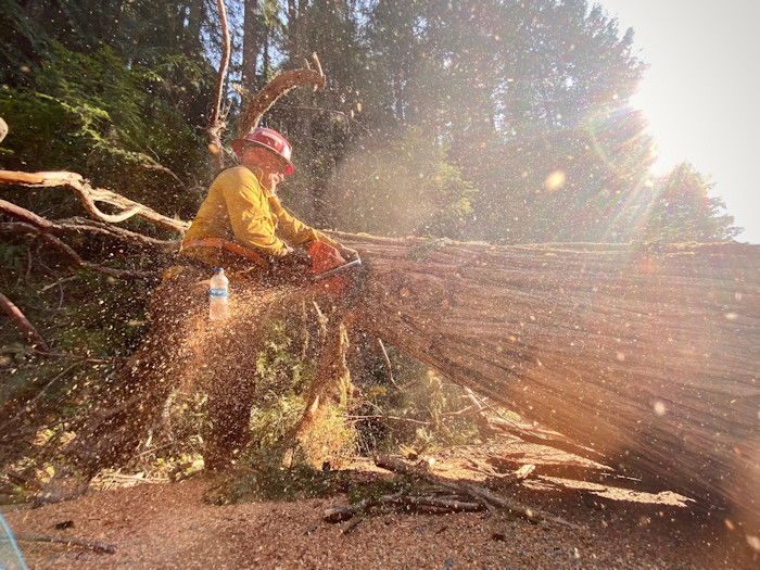
West Zone Operations: Yesterday, crews and heavy equipment continued work to repair areas that have been disturbed by firefighting activities along the northern edge of the fire. A task force of firefighting resources will be engaged along the southwest edge of the fire where there is uncontained fire line that could be tested by wind conditions and rising temperatures. Poor air quality in the Highway 58 corridor, Oakridge and adjacent communities is expected to persist throughout the weekend. Temperature inversions will trap smoke in the valleys and drainages during the morning hours and into the afternoon. For air quality resources, see the links below.
East Zone Operations: The cool, rainy weather cleared out, yielding to an easterly wind. The east winds will be more moderate on the east side and will begin to subside overnight. Remaining fuels are dry enough for creeping and smoldering fire behavior to resume but the winds will not be strong enough to cause fire spread. Due to higher east winds on the west side, an east side task force will be loaned to the west side. Crews on the east side continued chipping, masticating, removing slash, and other heavy equipment operations. Crews were able to begin shifting to suppression repair. Removal of all structural protection at Cultus Lake was completed yesterday. Crews continued repairing roads and other infrastructure including damage identified yesterday on a road near Odell Lake.
Weather: Increased temperatures and gusting winds out of the east are predicted throughout the weekend. As the warming and drying trend continues, relative humidities will continue to drop. Sunday will remain warm and dry, but winds will begin to diminish and shift to westerly.
Closures: Deer season opens today. The Deschutes National Forest and Willamette National Forest both have closures and fire restrictions in effect. Some of these closures will remain in effect until areas that have been heavily impacted by the fire are surveyed for safety hazards. Please respect Forest closures. Violations of these prohibitions are punishable by a fine of not more than $5,000.00 for an individual or $10,000.00 for a corporation or imprisonment for not more than six months or both. 16 USC § 551 and 18 U.S.C §§ 3551, 3559, 3571, and 3581. Please visit Willamette National Forest and Deschutes National Forest for the most recent closure orders and maps. The Incident Command Post has been established at the industrial park in Oakridge along with a camping area for firefighters near the Hills Creek Dam. This area is in use by firefighters and closed to the public. A Temporary Flight Restriction (TFR) is in place. The use of drones is prohibited in the fire area, please make it safe for our firefighters to use aircraft on the fire. Pacific Crest Trail hikers should visit pcta.org for current information.
Smoke: For current conditions, see Fire.airnow.gov, oakridgeair.org, and LRAPA - Today's Current Air Quality. Smoke Forecast Outlooks are available at https://outlooks.wildlandfiresmoke.net/outlook.
Evacuations: An updated map of the evacuation areas is available at www.LaneCountyOR.gov/CedarCreek. Sign-up for emergency mobile alerts by going to oralert.gov. Please check with Lane County Sheriff’s Office at 541-682-4150 and Deschutes County Sheriff’s Office at 541-693-6911 for updates and changes.
