Oregon Dept. of Forestry, OSU set to update disputed wildfire hazard map, with new legislative guidance
SALEM, Ore. (KTVZ) -- The Oregon Department of Forestry said Tuesday it will soon begin work with Oregon State University to update the disputed, withdrawn wildfire hazard map, making revisions based on direction provided in Senate Bill 80, passed by the 2023 Oregon Legislature.
This is in addition to the work ODF and OSU have been doing to incorporate feedback provided by landowners and local governments following last year’s initial map rollout.
Senate Bill 80 advances Oregon’s wildfire programs established by the 2021 Legislature’s Senate Bill 762. Senate Natural Resources Committee Chair Jeff Golden (D-Rogue Valley), guided SB 80 towards passage.
“The revisions this bill makes,” said Golden, “address the plain fact that we’ll meet the massive wildfire challenge ahead only through a rock-solid collaboration between state and federal agencies, local officials, community leaders and affected property owners. We’ll succeed if Oregonians see this as their program, not the government’s.
"SB 80 takes big strides in that direction. The bill wouldn’t have been possible without the careful work of the Wildfire Programs Advisory Council — 19 citizens from different backgrounds, professions and locations—who are charged with guiding us over time towards a more effective wildfire program. We’re lucky to have their service.”
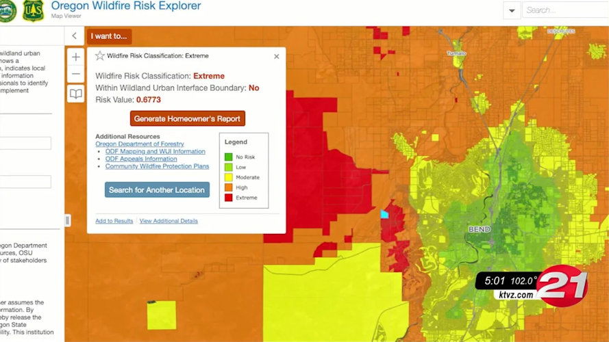
After passage of SB 762 in 2021, ODF worked with a rulemaking advisory committee on administrative rules to govern the map. Those rules, passed by the Board of Forestry, along with scientific expertise on modeling wildfire occurrence and behavior from OSU, led to the mapping of wildfire “risk” at a property tax-lot level for 1.8 million parcels in Oregon.
However, lack of clarity about the map’s purpose and limited time for outreach and education about what it would mean for property owners resulted in concern about and opposition to the map.
ODF said it plans to engage communities throughout the upcoming revision process to better inform Oregonians on the process, science, and purpose of the updated hazard map.
While the updated map is still required to use climate, weather, topography, and vegetation in assessing wildfire potential, SB 80 brings a few significant changes to the map:
• Clarifies the purpose of the map as being a tool to:
o Inform Oregon residents and property owners about their wildfire exposure by providing transparent and science-based information.
o Assist in prioritizing fire adaption and mitigation resources for the most vulnerable locations.
o Identify where defensible space standards and home hardening codes will apply.
• Changes from five “risk” classes to three “hazard” classes.
• Requires eight meetings with county and local officials to review local draft maps.
• Limits the hazard class notification requirements to those in high hazard zones that are also inside wildland-urban interface boundaries. Updated notifications will be reviewed by the Wildfire Programs Advisory Council for recommendations on tone, clarity of language and presentation of information.
• Changes the appeal process: Properties in a high hazard class may be appealed as a contested case hearing described in Oregon Revised Statute Chapter 183.
ODF and OSU are still working on the process and timeline for revising the map. However, the following activities are planned:
• Complete a draft revision of the map that includes both previously voiced concerns and changes from SB 80.
• Attend eight county meetings across the state as described in SB 80 to share community-level revised maps with county representatives, gather local feedback, and provide clear information on how wildfire hazard is assessed.
• Convene a rulemaking advisory committee to amend the existing administrative rules to conform with the new law and incorporate lessons learned during county meetings.
• Schedule and attend community meetings across the state—with a focus on the highest hazard areas—to discuss how wildfire hazard was determined, what it means for property owners, share updated community-level draft maps, and get public input.
• Draft property owner notifications and solicit input from the Wildfire Programs Advisory Council.
• Publish a draft map online.
• Send notifications to property owners in high hazard zones inside the wildland-urban interface boundary, including instructions on how to appeal the designation.
• Publish the final map online, including the results of successful appeals.
“ODF appreciates direction from the Legislature and the time to get the map right. We’re eager to engage communities and discuss the increasing hazard of wildfire across Oregon,” said State Forester Cal Mukumoto. “Having the time to solicit and incorporate community input is critical to Oregonians understanding the environmental hazard of wildfire.”
