Brush fire hits Bend’s north end: updated evacuation levels, power partially restored amid major air, ground attack
(Update: Latest info on evacuations, power outages and fire)
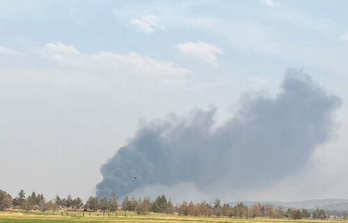
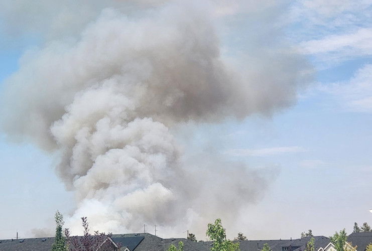
BEND, Ore. (KTVZ) – A fast-moving brush fire broke out Friday afternoon in an area just north of Bend called “Dirt World,” sending up thick, billowing smoke, prompting widespread Level 3 GO NOW evacuations, later dropped partially to Level 2 BE READY, and causing a power outage affecting 14,000 customers at its peak and major traffic jams in the area.
The fire, named the Mile Marker 132 Fire, was reported around 2:40 p.m. off Highway 97 near milepost 132 and had burned about 10 acres within an hour and was reported at 20 acres before 5:30 p.m.
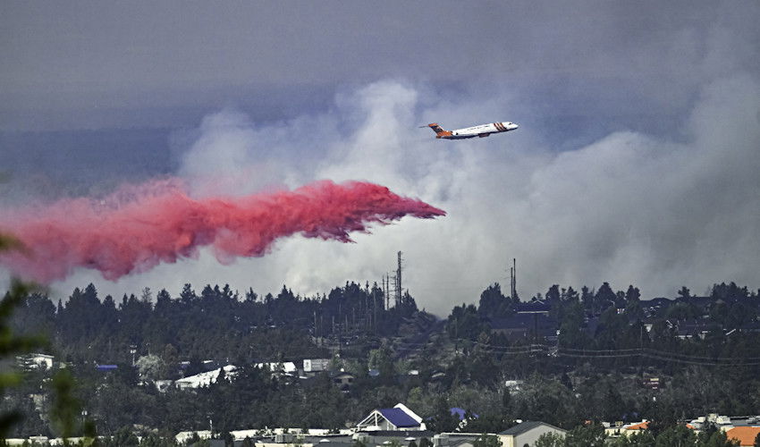
“The fire is showing a rapid rate of spread, with spotting ahead,” fire officials said around 4 p.m. “Multiple aircraft have been ordered and air attack is currently on scene.”
Friday's fire started not far from where the Juniper Ridge Fire nearly four years ago in mid-August 2020 burned nearly 40 acres. The fire was traced to the hot engine exhaust of a motor home in contact with grass and brush.
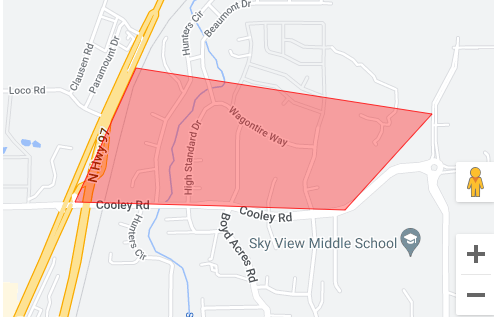
The Deschutes County Sheriff's Office issued first a Level 1 BE SET around 3:30 p.m., then a Level 3 GO NOW evacuation alert around 4 p.m. for the area east of Highway 97 and north of Cooley Road. Around 4:45 p.m., the alert was dropped to Level 2 BE SET for the area form Cooley Road to Wagontire Way and north of there remained at Level 3.
A temporary evacuation point and Red Cross shelter was set up at Mountain View High School.
You can check the latest Deschutes Alert notifications at https://member.everbridge.net/892807736723736/notif and the latest evacuation map at https://experience.arcgis.com/experience/6f8868c4477e462b8a653a89260268fc
While firefighters from numerous agencies and air support tackled the blaze, police went door to door in several mobile home parks and affected neighborhoods including homes off Hunters Circle, advising people to leave, and those who did encountered backed-up traffic due to knocked out traffic signals.
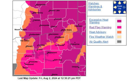
This fire broke out amid temperatures at or above 100 degrees and a red flag warning of critical fire weather after over 100 fires burned over 1.2 million acres across Oregon over the past month.
Pacific Power initially reported 14,000 customers lost power due to damage to a line, but that was down to about 3,700 shortly after 5 p.m. Check the latest outage map here.
One lane of Highway 97 was blocked the first couple of hours of the firefight but later reopened amid reports around 5:30 p.m. of good progress on stopping the blaze by ground crews and air tankers.