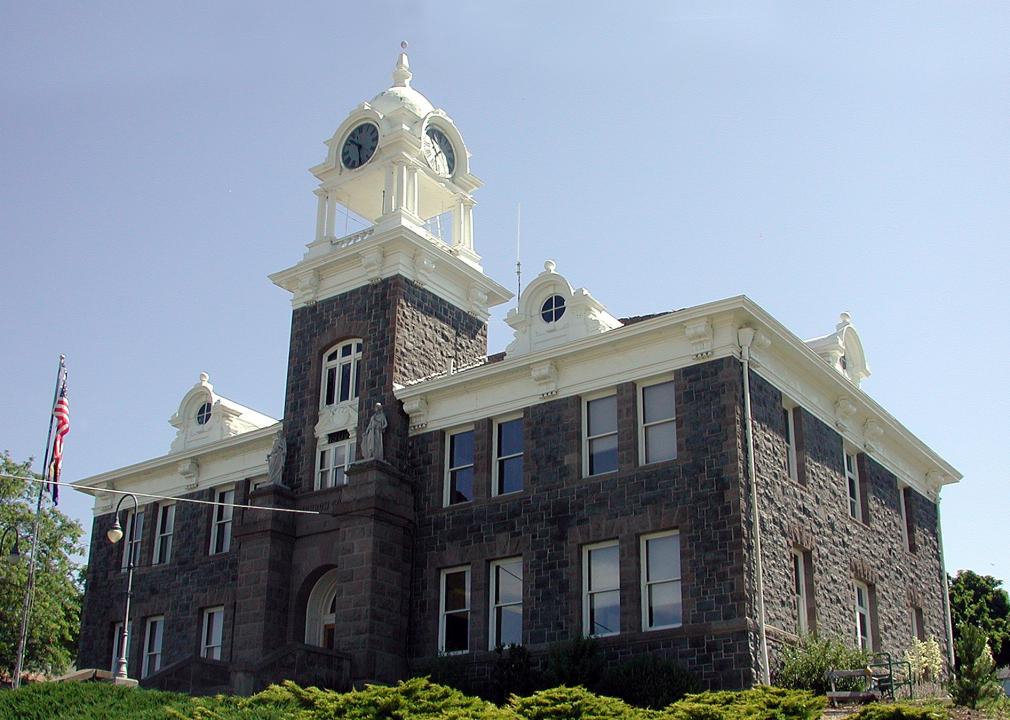
Most rural counties in Oregon
Tedder // Wikimedia Commons
Most rural counties in Oregon
A surprising number of U.S. counties have 100% rural land-702, in fact. Stacker compiled a list of the most rural counties in Oregon using data from the U.S. Census Bureau. Counties are ranked by the percent of land area that is rural, as of the 2010 Census, with ties broken by residents per square mile, according to 2019 5-year population estimates.
According to the Census Bureau, rural land encompasses any land that isn’t an urban area. To be considered an urban area, a place has to have a densely settled core of census tracts or blocks and count at least 2,500 people, at least 1,500 of whom must be residents of non-institutional buildings. Areas with 50,000 people or more are considered urbanized areas, while areas with between 2,500 and 50,000 people are considered urban clusters.
You may also like: Highest-rated things to do in Oregon, according to Tripadvisor
Stuart Seeger // Wikicommons
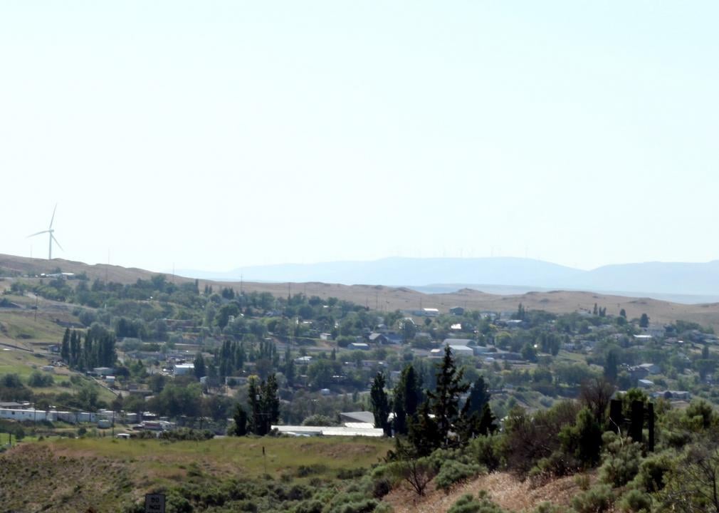
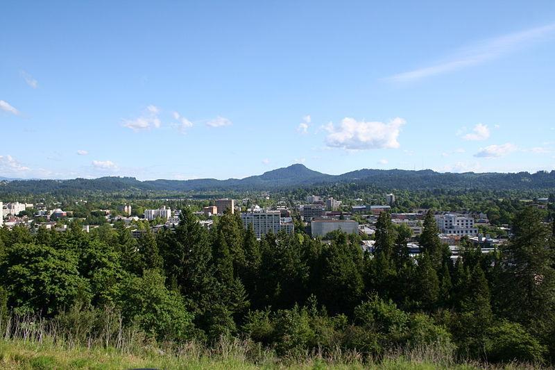
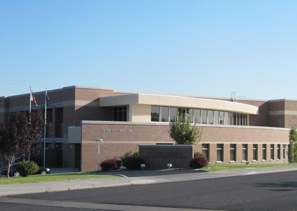
#36. Multnomah County
– Rural area: 61.9% (267 square miles)
– Urban area: 38.1% (164 square miles)
– Total land area: 431 square miles
— #36 largest county in state, #2,353 nationwide
– Population density: 1,865.5 people / square mile (804,606 residents)
— #36 lowest density county in state, #3,068 nationwide

M.O. Stevens // Wikimedia Commons
#35. Washington County
– Rural area: 82.6% (598 square miles)
– Urban area: 17.4% (126 square miles)
– Total land area: 724 square miles
— #31 largest county in state, #1,227 nationwide
– Population density: 813.9 people / square mile (589,481 residents)
— #35 lowest density county in state, #2,969 nationwide
Edmund Garman // Flickr
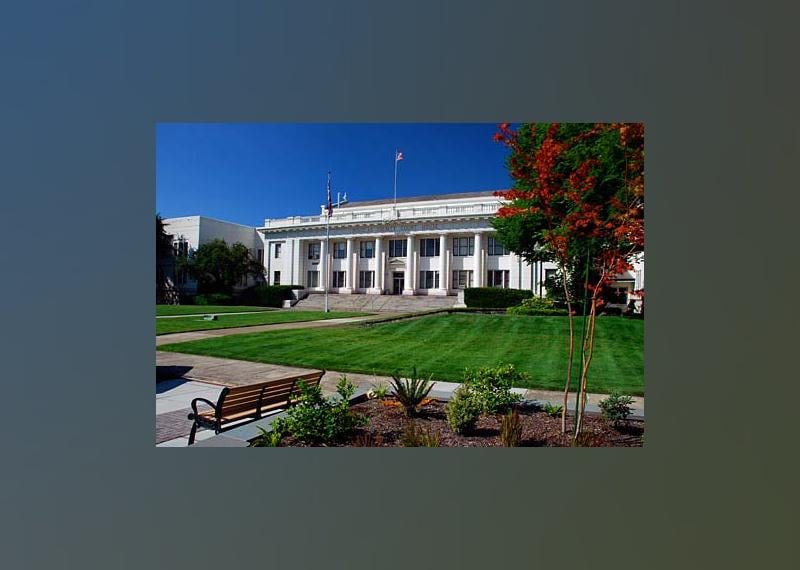
#34. Marion County
– Rural area: 92.3% (1,092 square miles)
– Urban area: 7.7% (91 square miles)
– Total land area: 1,182 square miles
— #25 largest county in state, #517 nationwide
– Population density: 287.3 people / square mile (339,641 residents)
— #34 lowest density county in state, #2,719 nationwide
Mrgadget51 // Wikimedia Commons
#33. Clackamas County
– Rural area: 93.2% (1,743 square miles)
– Urban area: 6.8% (128 square miles)
– Total land area: 1,870 square miles
— #18 largest county in state, #306 nationwide
– Population density: 219.5 people / square mile (410,463 residents)
— #33 lowest density county in state, #2,623 nationwide
M.O. Stevens // Wikimedia Commons
#32. Yamhill County
– Rural area: 95.6% (684 square miles)
– Urban area: 4.4% (31 square miles)
– Total land area: 716 square miles
— #32 largest county in state, #1,266 nationwide
– Population density: 146.4 people / square mile (104,831 residents)
— #32 lowest density county in state, #2,468 nationwide
You may also like: Counties with the most college graduates in Oregon
cpaulfell // Shutterstock
#31. Benton County
– Rural area: 96.2% (650 square miles)
– Urban area: 3.8% (26 square miles)
– Total land area: 676 square miles
— #33 largest county in state, #1,388 nationwide
– Population density: 134.8 people / square mile (91,107 residents)
— #31 lowest density county in state, #2,418 nationwide
Little Mountain 5 // Wikicommons
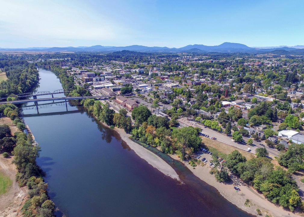
#30. Jackson County
– Rural area: 97.5% (2,713 square miles)
– Urban area: 2.6% (71 square miles)
– Total land area: 2,784 square miles
— #13 largest county in state, #185 nationwide
– Population density: 77.8 people / square mile (216,574 residents)
— #27 lowest density county in state, #2,078 nationwide
Bruce Fingerhood from Springfield, Oregon, US // Wikimedia Commons
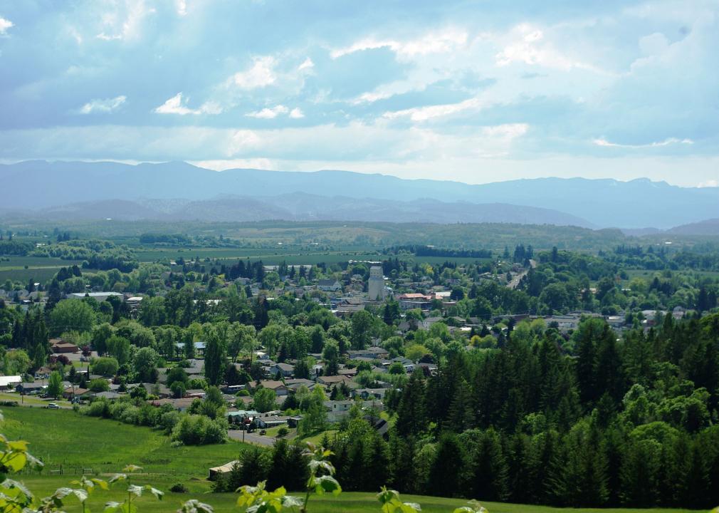
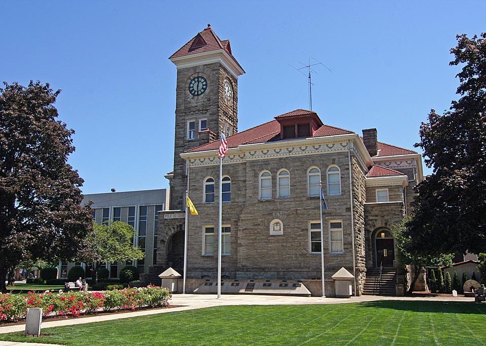
#29. Polk County
– Rural area: 97.5% (722 square miles)
– Urban area: 2.5% (19 square miles)
– Total land area: 741 square miles
— #30 largest county in state, #1,191 nationwide
– Population density: 112.1 people / square mile (83,037 residents)
— #30 lowest density county in state, #2,338 nationwide
Lauram12345 // Wikicommons
#28. Lane County
– Rural area: 97.6% (4,442 square miles)
– Urban area: 2.4% (111 square miles)
– Total land area: 4,553 square miles
— #6 largest county in state, #95 nationwide
– Population density: 82.0 people / square mile (373,340 residents)
— #29 lowest density county in state, #2,117 nationwide
Cacophony // Wikimedia Commons
#27. Columbia County
– Rural area: 97.7% (642 square miles)
– Urban area: 2.3% (15 square miles)
– Total land area: 657 square miles
— #34 largest county in state, #1,428 nationwide
– Population density: 78.2 people / square mile (51,375 residents)
— #28 lowest density county in state, #2,080 nationwide
You may also like: Highest-earning counties in Oregon
EncMstr // Wikimedia Commons
#26. Lincoln County
– Rural area: 98.0% (960 square miles)
– Urban area: 2.1% (20 square miles)
– Total land area: 980 square miles
— #27 largest county in state, #703 nationwide
– Population density: 49.5 people / square mile (48,547 residents)
— #23 lowest density county in state, #1,684 nationwide
Ian Poellet // Wikimedia Commons
#25. Deschutes County
– Rural area: 98.1% (2,961 square miles)
– Urban area: 1.9% (57 square miles)
– Total land area: 3,018 square miles
— #11 largest county in state, #171 nationwide
– Population density: 61.7 people / square mile (186,251 residents)
— #26 lowest density county in state, #1,867 nationwide

English: Gary Halvorson, Oregon State Archives // Wikimedia Commons
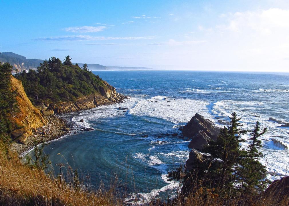
#24. Clatsop County
– Rural area: 98.3% (815 square miles)
– Urban area: 1.7% (14 square miles)
– Total land area: 829 square miles
— #28 largest county in state, #1,015 nationwide
– Population density: 47.2 people / square mile (39,102 residents)
— #22 lowest density county in state, #1,635 nationwide
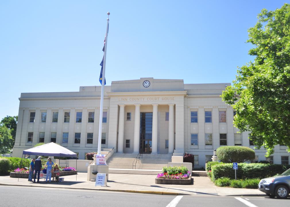
Jmabel // Wikimedia Commons
#23. Linn County
– Rural area: 98.4% (2,254 square miles)
– Urban area: 1.6% (36 square miles)
– Total land area: 2,290 square miles
— #15 largest county in state, #243 nationwide
– Population density: 54.6 people / square mile (125,048 residents)
— #25 lowest density county in state, #1,771 nationwide
Joseph Novak // Wikicommons
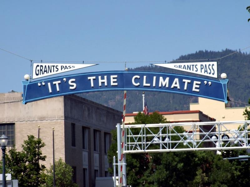
#22. Josephine County
– Rural area: 98.6% (1,616 square miles)
– Urban area: 1.4% (23 square miles)
– Total land area: 1,640 square miles
— #21 largest county in state, #367 nationwide
– Population density: 52.6 people / square mile (86,251 residents)
— #24 lowest density county in state, #1,733 nationwide
You may also like: Where people in Oregon are moving to most
Debbie Tegtmeier // Wikimedia Commons
#21. Coos County
– Rural area: 98.6% (1,574 square miles)
– Urban area: 1.4% (22 square miles)
– Total land area: 1,596 square miles
— #23 largest county in state, #377 nationwide
– Population density: 39.9 people / square mile (63,686 residents)
— #20 lowest density county in state, #1,466 nationwide
Sam Beebe // Wikimedia Commons
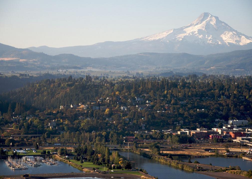
#20. Hood River County
– Rural area: 98.6% (515 square miles)
– Urban area: 1.4% (7 square miles)
– Total land area: 522 square miles
— #35 largest county in state, #1,999 nationwide
– Population density: 44.5 people / square mile (23,209 residents)
— #21 lowest density county in state, #1,562 nationwide
Gancayco // Wikimedia Commons
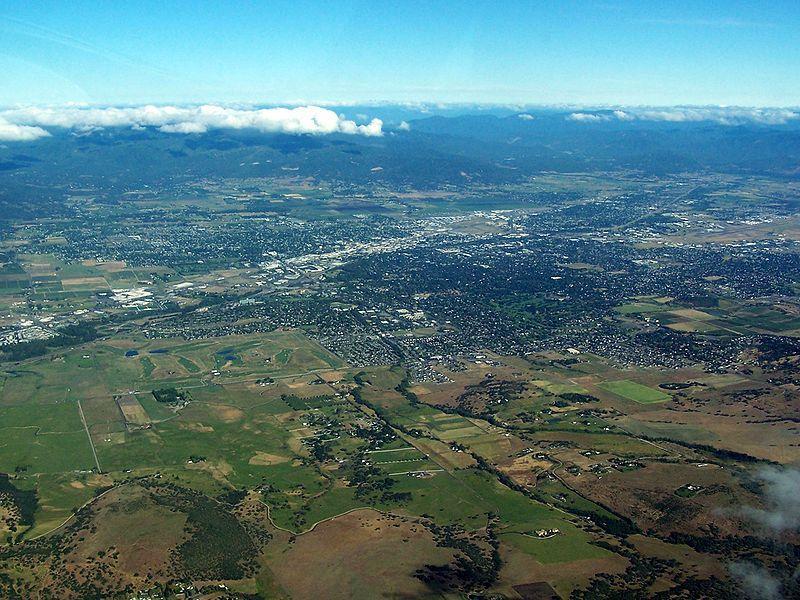
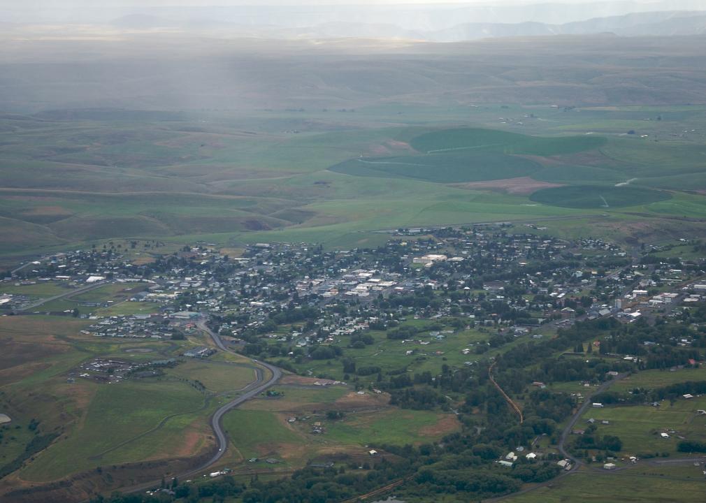
#19. Umatilla County
– Rural area: 99.1% (3,185 square miles)
– Urban area: 0.9% (30 square miles)
– Total land area: 3,216 square miles
— #8 largest county in state, #160 nationwide
– Population density: 24.0 people / square mile (77,129 residents)
— #19 lowest density county in state, #1,037 nationwide
English: Gary Halvorson, Oregon State Archives // Wikimedia Commons
#18. Douglas County
– Rural area: 99.4% (5,006 square miles)
– Urban area: 0.6% (30 square miles)
– Total land area: 5,036 square miles
— #5 largest county in state, #75 nationwide
– Population density: 21.7 people / square mile (109,114 residents)
— #17 lowest density county in state, #943 nationwide
Manuela Durson // Shutterstock
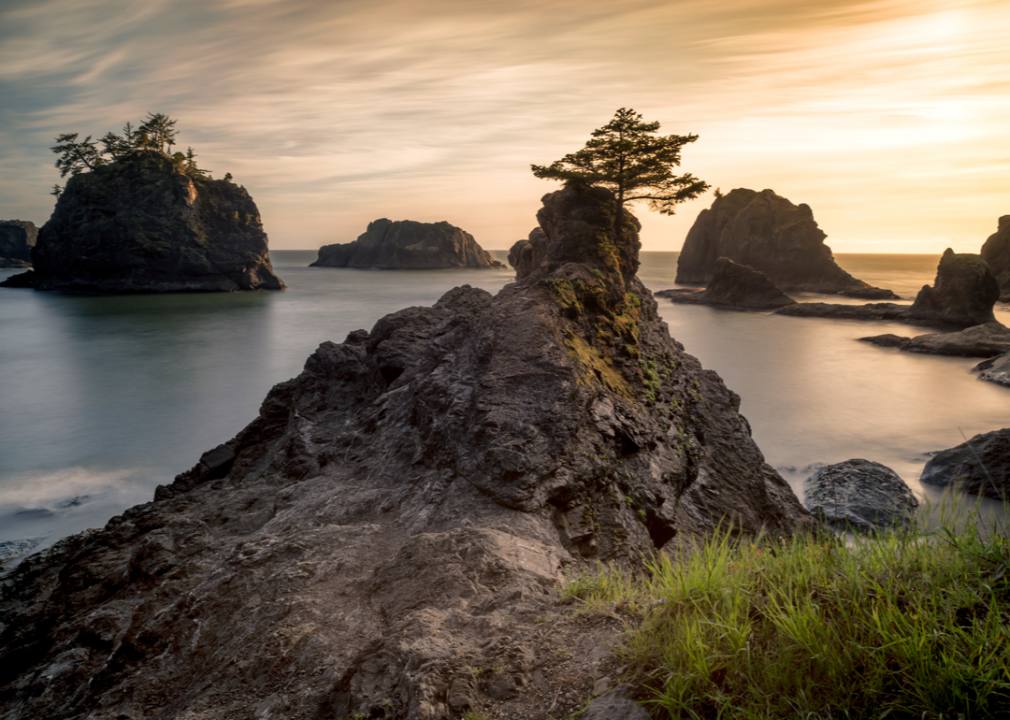
#17. Curry County
– Rural area: 99.4% (1,618 square miles)
– Urban area: 0.6% (9 square miles)
– Total land area: 1,627 square miles
— #22 largest county in state, #372 nationwide
– Population density: 13.9 people / square mile (22,650 residents)
— #16 lowest density county in state, #706 nationwide
You may also like: States sending the most people to Oregon
USFWS Headquarters’ photostream // Wikimedia Commons
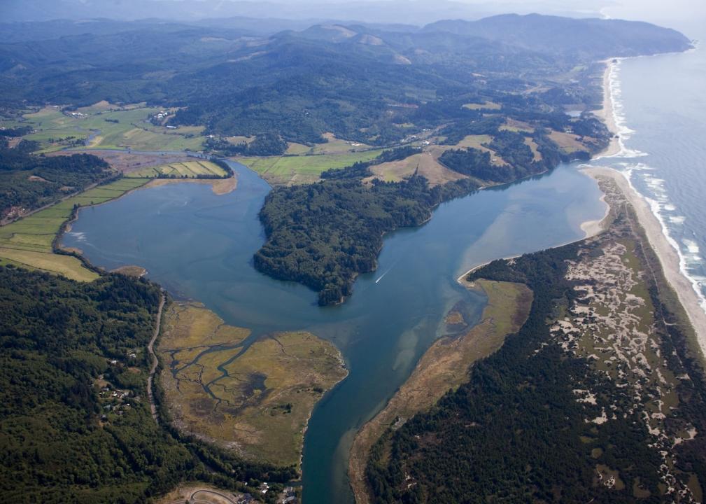
#16. Tillamook County
– Rural area: 99.6% (1,098 square miles)
– Urban area: 0.4% (4 square miles)
– Total land area: 1,103 square miles
— #26 largest county in state, #573 nationwide
– Population density: 23.9 people / square mile (26,389 residents)
— #18 lowest density county in state, #1,035 nationwide
Cacophony // Wikimedia Commons
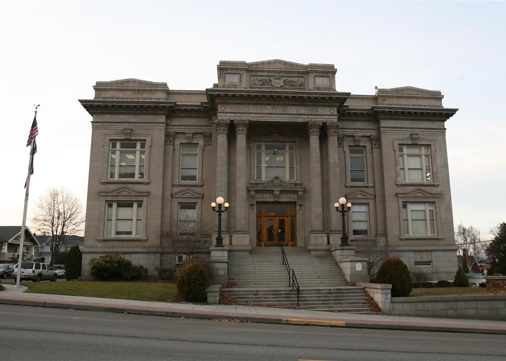
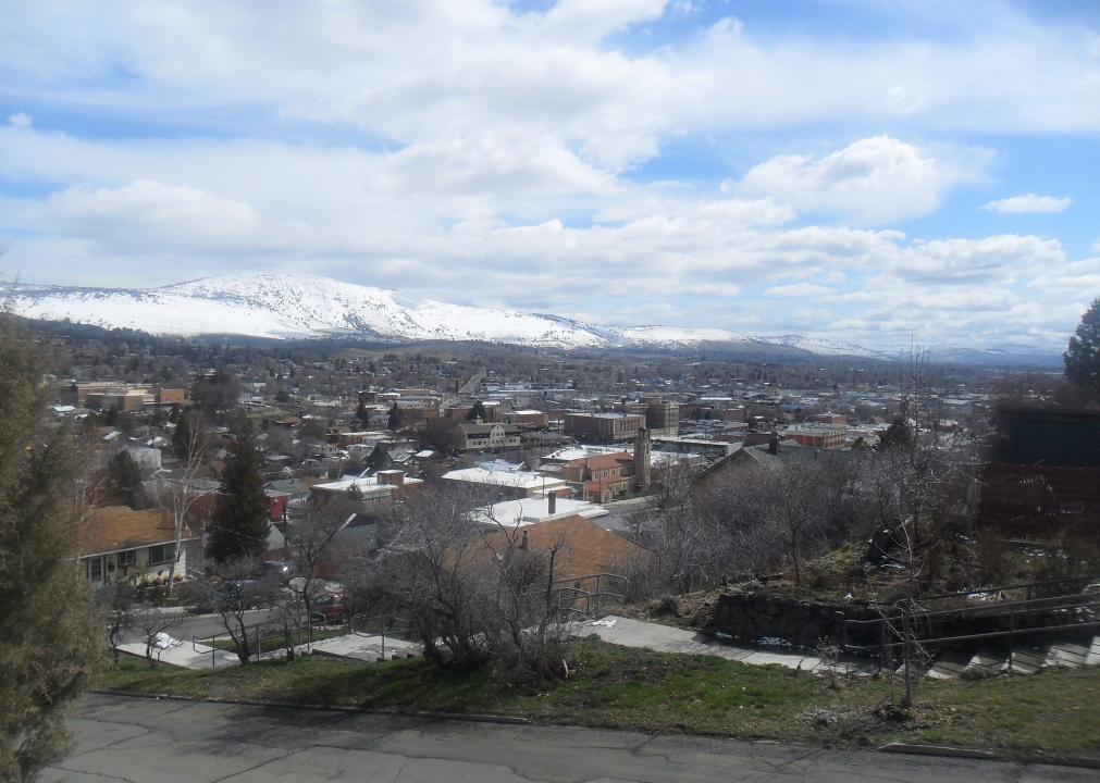
#15. Wasco County
– Rural area: 99.6% (2,372 square miles)
– Urban area: 0.4% (9 square miles)
– Total land area: 2,382 square miles
— #14 largest county in state, #231 nationwide
– Population density: 11.0 people / square mile (26,130 residents)
— #12 lowest density county in state, #604 nationwide
Bobjgalindo // Wikimedia Commons
#14. Klamath County
– Rural area: 99.6% (5,919 square miles)
– Urban area: 0.4% (22 square miles)
– Total land area: 5,941 square miles
— #4 largest county in state, #61 nationwide
– Population density: 11.3 people / square mile (66,921 residents)
— #13 lowest density county in state, #613 nationwide
Finetooth // Wikimedia Commons
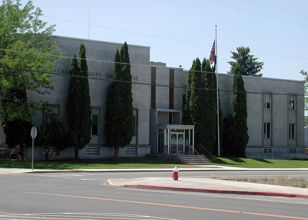
#13. Jefferson County
– Rural area: 99.7% (1,775 square miles)
– Urban area: 0.3% (5 square miles)
– Total land area: 1,781 square miles
— #19 largest county in state, #332 nationwide
– Population density: 13.3 people / square mile (23,607 residents)
— #15 lowest density county in state, #680 nationwide
Williamborg // Wikimedia Commons
#12. Union County
– Rural area: 99.7% (2,031 square miles)
– Urban area: 0.3% (6 square miles)
– Total land area: 2,037 square miles
— #16 largest county in state, #278 nationwide
– Population density: 12.9 people / square mile (26,337 residents)
— #14 lowest density county in state, #672 nationwide
You may also like: Fastest-growing counties in Oregon
Finetooth // Wikimedia Commons
#11. Morrow County
– Rural area: 99.8% (2,027 square miles)
– Urban area: 0.2% (5 square miles)
– Total land area: 2,032 square miles
— #17 largest county in state, #279 nationwide
– Population density: 5.6 people / square mile (11,303 residents)
— #10 lowest density county in state, #391 nationwide
Cacophony // Wikimedia Commons
#10. Crook County
– Rural area: 99.8% (2,973 square miles)
– Urban area: 0.2% (6 square miles)
– Total land area: 2,979 square miles
— #12 largest county in state, #173 nationwide
– Population density: 7.7 people / square mile (23,011 residents)
— #11 lowest density county in state, #481 nationwide
Finetooth // Wikimedia Commons
#9. Baker County
– Rural area: 99.8% (3,063 square miles)
– Urban area: 0.2% (5 square miles)
– Total land area: 3,068 square miles
— #10 largest county in state, #168 nationwide
– Population density: 5.2 people / square mile (16,019 residents)
— #9 lowest density county in state, #377 nationwide
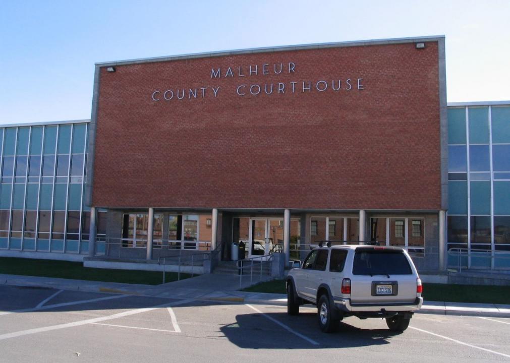
Ken Lund from Reno, Nevada, USA // Wikimedia Commons
#8. Malheur County
– Rural area: 99.9% (9,879 square miles)
– Urban area: 0.1% (8 square miles)
– Total land area: 9,888 square miles
— #2 largest county in state, #25 nationwide
– Population density: 3.1 people / square mile (30,412 residents)
— #8 lowest density county in state, #240 nationwide

Ken Lund // Wikimedia Commons
#7. Lake County
– Rural area: 100.0% (8,138 square miles)
– Urban area: 0.0% (1 square miles)
– Total land area: 8,139 square miles
— #3 largest county in state, #32 nationwide
– Population density: 1.0 people / square mile (7,837 residents)
— #3 lowest density county in state, #62 nationwide
You may also like: Highest-rated Class of 2021 football recruits from Oregon
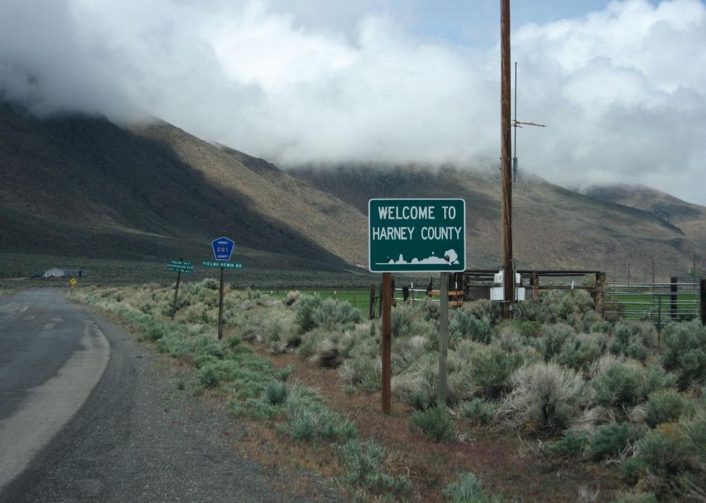
Ken Lund // Wikimedia Commons
#6. Harney County
– Rural area: 100.0% (10,131 square miles)
– Urban area: 0.0% (3 square miles)
– Total land area: 10,133 square miles
— #1 largest county in state, #23 nationwide
– Population density: 0.7 people / square mile (7,267 residents)
— #1 lowest density county in state, #42 nationwide
Sam Beebe // Wikimedia Commons
#5. Wallowa County
– Rural area: 100.0% (3,146 square miles)
– Urban area: 0.0% (0 square miles)
– Total land area: 3,146 square miles
— #9 largest county in state, #163 nationwide
– Population density: 2.2 people / square mile (7,004 residents)
— #7 lowest density county in state, #173 nationwide
Finetooth // Wikimedia Commons
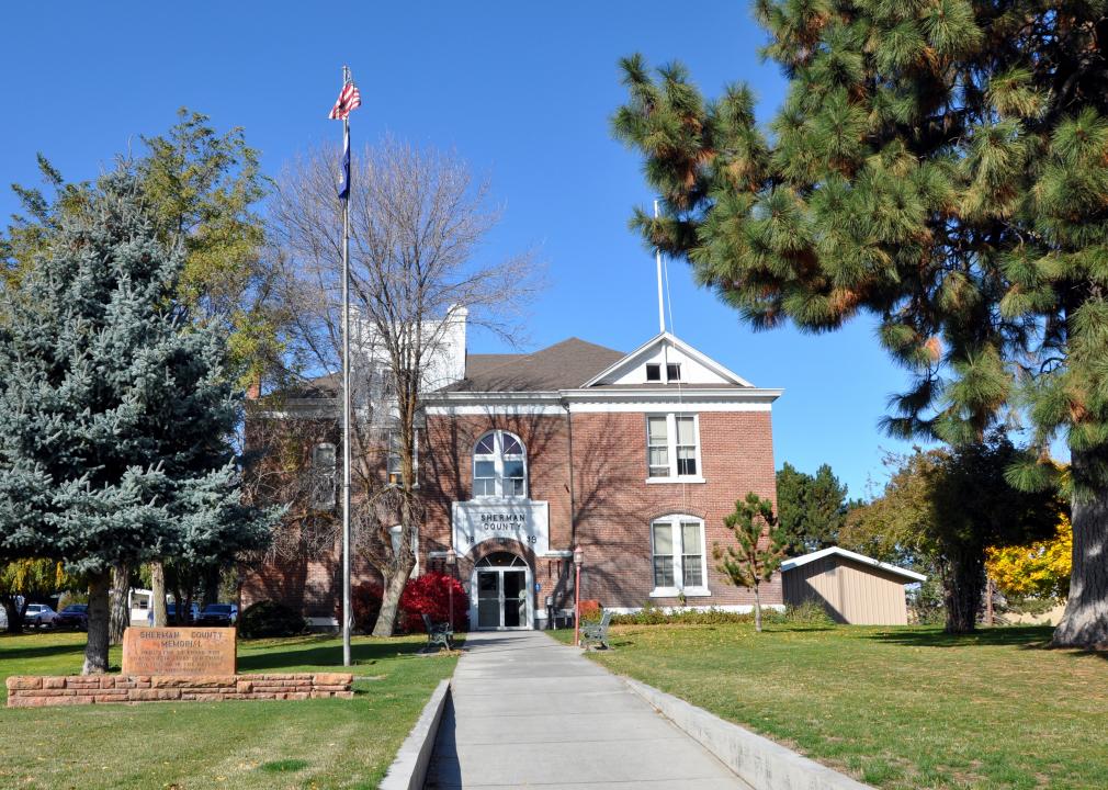
#4. Sherman County
– Rural area: 100.0% (824 square miles)
– Urban area: 0.0% (0 square miles)
– Total land area: 824 square miles
— #29 largest county in state, #1,024 nationwide
– Population density: 2.0 people / square mile (1,642 residents)
— #6 lowest density county in state, #153 nationwide
Finetooth // Wikimedia Commons
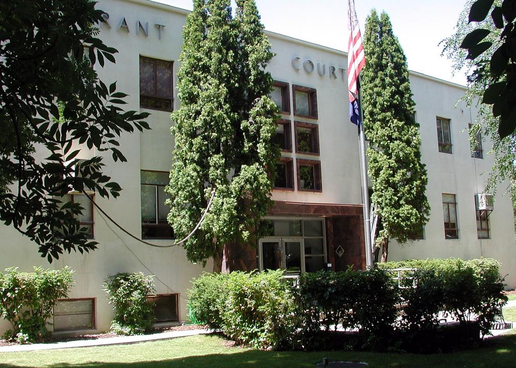
#3. Grant County
– Rural area: 100.0% (4,529 square miles)
– Urban area: 0.0% (0 square miles)
– Total land area: 4,529 square miles
— #7 largest county in state, #98 nationwide
– Population density: 1.6 people / square mile (7,189 residents)
— #5 lowest density county in state, #117 nationwide

Tedder // Wikimedia Commons
#2. Gilliam County
– Rural area: 100.0% (1,205 square miles)
– Urban area: 0.0% (0 square miles)
– Total land area: 1,205 square miles
— #24 largest county in state, #508 nationwide
– Population density: 1.6 people / square mile (1,878 residents)
— #4 lowest density county in state, #114 nationwide
You may also like: Best counties to raise a family in Oregon
Tomas Nevesely // Shutterstock
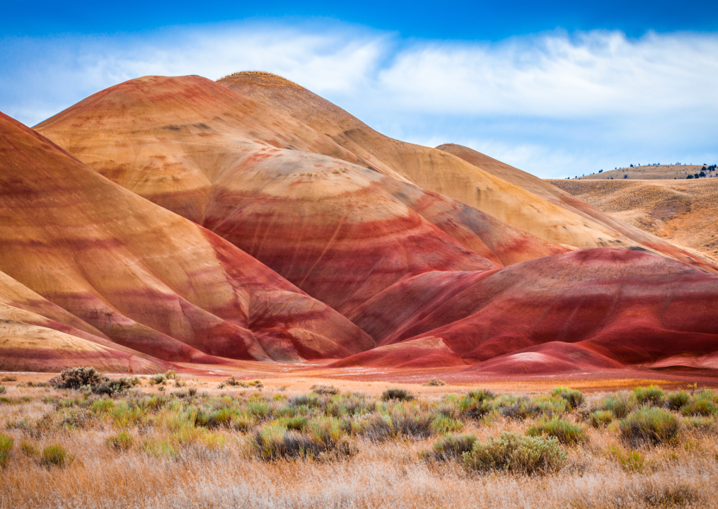
#1. Wheeler County
– Rural area: 100.0% (1,715 square miles)
– Urban area: 0.0% (0 square miles)
– Total land area: 1,715 square miles
— #20 largest county in state, #347 nationwide
– Population density: 0.8 people / square mile (1,415 residents)
— #2 lowest density county in state, #50 nationwide
