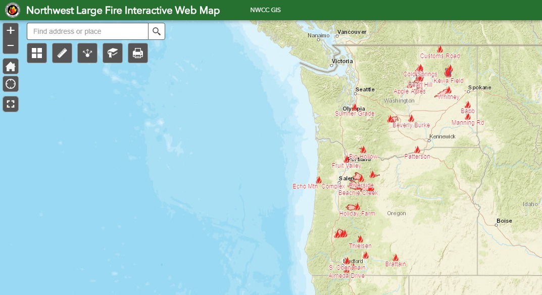
Fire Alert: Interactive maps of major Northwest fires; links to more maps, info

BEND, Ore. (KTVZ) -- Here is an interactive map from the Northwest Interagency Coordination Center in Portland, along with other maps and links to the latest information on fires around the region.
The NWCC also has a list of the fires and detailed information on each: https://gacc.nifc.gov/nwcc/information/fire_info.aspx
Another good map to check:
The state of Oregon has a "dashboard" of fires and evacuation areas across the state, part of: http://wildfire.oregon.gov.
It also has a RAPTOR map:
The Central Oregon Interagency Dispatch Center has a large list of links to wildfire information across the region: https://gacc.nifc.gov/nwcc/districts/COIDC/
The Central Oregon Fire Information blog is at: https://www.centraloregonfire.org/
It can be somewhat cryptic, but COIDC also has a continually updated WildCAD list of fire/smoke reports in the region: http://www.wildcad.net/WCOR-COC.htm
Another interactive "live map" of wildfires across the West is at: https://disasterresponse.maps.arcgis.com/apps/webappviewer/index.html?id=2ff1677111ae4018ac705fcce7c3312f
There are also a plethora of county, city and government agency websites and Facebook pages that offer updates.
If you have a link you believe we should add to this list, please email stories@ktvz.com.