‘There isn’t a normal any more’: Post-rain fire activity picks up fast on 413,000-acre Bootleg Fire
BLY, Ore. (KTVZ) -- Fire officials expressed concern but not surprise over a quick pickup in fire activity on the 413,000-acre Bootleg Fire, just a day after welcome rain fell on parts of the nation's largest wildfire.
Here's Thursday morning's update:
Bootleg Fire Daily Update July 29
Location: 28 miles northeast of Klamath Falls, OR Size: 413,545 acres
Personnel: 1,994 Containment: 53%
(Klamath Falls, OR) – Despite the recent rain, fire activity picked up yesterday. Fire Behavior Specialist Chris Moore commented on how unusual it is to see fire flare-ups so quickly after a wetting rain.
“As we move out of normal climatological range, previous experience is less relevant,” said Moore. “The rain that we got will not put the fire out. Spotting will become more of an issue as fuels dry out again.” Incident Commander Norm McDonald reinforced this caution, stating that we need “a recalibration of where we are. There isn’t a ‘normal’ any more. We need to be prepared for anything.”
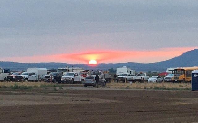
Fire activity increased as the warm day dried out the fire faster and wind gusts were stronger than expected. The northwest corner remains the most active area. Dozers and hand crews are working together to close the line around that portion of the perimeter. Heavy helicopter support kept the fire cool while crews worked around Round Butte. The objective today is to hold and secure the progress made.
Two more ember-cast spot fires were identified yesterday off the northeast flank of the fire, west of Winter Rim. The spot fires were about a half mile outside the fire perimeter and small in size (less than two acres). Helicopters dropped water as air tankers made multiple retardant drops. It still requires firefighters working on the line to secure these spots. Crews will continue to take aggressive action to address any future spot fires.
The east flank of the fire remains active. That edge of the fire is a “dirty edge,” that is, there isn’t a continuous edge to the fire in this area, as the fire leaves pockets of unburned vegetation. This ragged edge is more difficult for crews to secure.
In the southern portion of the fire, where activity has been relatively quiet, there were flare ups and smoke plumes visible yesterday from inside the burned area. This is a good thing. Burning fuels within the fire perimeter will help decrease the heat and chances for ember cast in the future.
Warm weather will continue through the week. Gusty winds are expected today, especially in more open areas. Yesterday a Fire Weather Watch was issued for much of the fire area through Friday. West of the fire, a Red Flag Warning is in effect through tomorrow due to thunderstorms. Scattered rain and isolated thunderstorms are possible through the weekend. More information available at https://inciweb.nwcg.gov/incident/article/7609/62198/
Evacuations: Evacuations are dynamic. Klamath County has dropped all evacuation notices; however, the Fremont-Winema National Forest remains closed. Evacuation levels are being lowered again in Lake County. The Lake County Sheriff’s Office and Emergency Management are removing all residences in Lake County outside of the fire’s perimeter from a Level 3 evacuation. Effective immediately. The best way to view the evacuation designation boundaries and details is on the interactive map available at tinyurl.com/bootlegevac
Red Cross Evacuation Shelters: For information or assistance: 1-800-Red-Cross (www.redcrossblog.org/disaster)
Insurance Assistance: For additional information on submitting insurance claims after losing your home or property to a wildfire, please visit https://dfr.oregon.gov/insure/home/storm/Pages/wildfires.aspx or call the state’s team of consumer advocates at 888-877-4894 (toll-free).
Closures: The Fremont-Winema National Forest is closed to the public in the fire area. The full closure order and map are available at https://www.fs.usda.gov/alerts/fremont-winema/alerts-notices
Smoke: Winds out of the southwest could blow smoke over the eastern parts of the region. The communities of Silver Lake and Paisley could see elevated air quality today. There is a chance that Silver Lake could see some of the heaviest impacts. See: fires.airfire.org/outlooks/southcentraloregon
Fire Information Public Phone: 541-482-1331
InciWeb: inciweb.nwcg.gov/incident/7609/ Facebook: www.facebook.com/BootlegFireInfo
Twitter: twitter.com/BootlegFireInfo Hashtags: #BootlegFire #FireYear2021
