Winter storm warning for a foot more snow in C.O., 16-40 inches east slopes; high winds prompt Mt. Bachelor closure
(Update: Mt. Bachelor shuts lifts amid extreme winds; wind chill watch issued)
Winds gusting to 45 or higher, followed by bout of bitter cold; wind chills may plunge below zero
BEND, Ore. (KTVZ) – Another major winter storm is poised to sweep into the High Desert over the next couple of days, bringing up to a foot of snow in the Bend area and much more at higher elevations – this time, followed by bone-chilling cold and predicted sub-zero wind chills.
Much of the state east of the Cascades, including Central Oregon, is under a winter storm warning from 1 a.m. Friday to 4 a.m. Sunday. A wind chill watch also was issued and some wind chills could drop below minus-20 on the High Desert, even without high winds.
But the stormy conditions already were hitting Thursday in the Cascades.
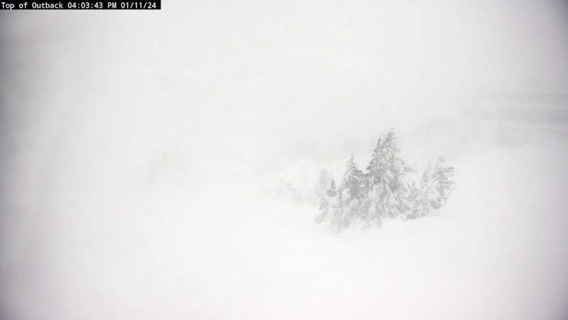
Mt. Bachelor welcomed all that snow, but not the high winds that downed several trees prompted the resort to close early Thursday afternoon and ramped up even more later, with gusts upwards of 70 mph at Sunrise and to 91 mph reported at the Northwest lift.
The National Weather Service in Pendleton says Central Oregon is expected to see about a foot of snow and winds gusting to 45 mph, making for "very difficult to impossible" travel.
"If you must travel, keep an extra flashlight, food and water in your vehicle in case of an emergency," forecasters said.
For the higher elevations on the east slopes of the Cascades, including Sisters, La Pine and Sunriver, the winter storm warning already is in effect, with total storm accumulations of 16-40 inches expected and winds gusting to 60 mph. The Cascades are expected to see another 2-4 feet of snow, with the highest totals over 3,000 feet elevation.
Here’s a look at what’s coming for the High Desert, as of early Thursday afternoon, from NewsChannel 21 Chief Meteorologist John Carroll:
There are several issues to discuss regarding the weather this weekend, starting Friday and continuing into the early part of next week.
First will be the snow that is likely to begin Friday and last until Saturday evening.
Friday will see a steady flow of snow from the north, and the mountains will be in the thick of the snow. Expect to see 1–2 feet of new snow there by Friday night. The lower elevations or the foothills of the east face of the Cascades will only see about 1 – 3 inches, but Sisters may get much more as they are farther west. The snow will become much more intense overnight into Saturday.
Saturday will see several inches of snow by the end of the day. The snow will be steady and the winds will be moving it around. Not suggesting blizzard conditions, but visibility will be reduced and snow will be piling up to nearly a foot along our cities from Madras to La Pine.
Then there is the cold air that will arrive. The cold arctic air is expected to arrive on Friday night and stay with us until Tuesday. The temps will plummet Friday evening to the teens and the lows will be in the single digits. Mountain temps will be dangerously cold for several hours over the weekend. Wind chill values Saturday and Sunday will be in the sub-zero range for several hours.
Sunday will be dry and bitter cold as the arctic air grips the region. The solar energy will allow the temperature readings to reach the middle 20s Sunday afternoon, but once the sun goes down, the temps drop to nearly zero.
On Monday, it will be windy and cold as well, same as Sunday. We do finally start to warm back to seasonal normals by Tuesday and Wednesday.
Temperatures next Tuesday hit the upper 30s and by Wednesday, highs will be in the low 40s. Nighttime temperatures are expected to be in the 20s Tuesday into Wednesday.

