Feds sign off on Ochoco Irrigation’s nearly 17-mile canal piping project
Goal is to boost streamflows in the Crooked River, McKay Creek
PRINEVILLE, Ore. (KTVZ) -- The USDA Natural Resources Conservation Service announced Tuesday it has released a Final Watershed Plan-Environmental Assessment and a Finding of No Significant Impact for the Ochoco Irrigation District's Infrastructure Modernization Project.
NRCS said it "has determined that the project will not cause significant local, regional or national impacts to the environment. With a completed environmental assessment in place, the project is now eligible for federal funding and may move forward into construction."
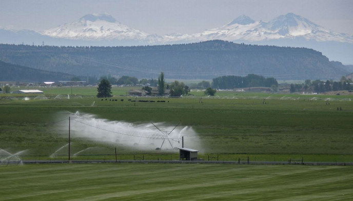
The project will install a total of 16.8 miles of buried pipeline, which will replace the open, unlined canals and laterals of Grimes Flat and the IronHorse section of the Crooked River Distribution Canal.
The project will also install a new pipeline to deliver irrigation water to the upper McKay Creek lands associated with the McKay Creek Water Rights Switch.
Related improvements include replacing aging pump stations and raising canal banks to deepen channels.
"The project will improve irrigation water management and delivery, reduce district operations and maintenance costs, improve public safety along piped sections, and increase streamflow in McKay Creek and the Crooked River," the NRCS announcement said.
Installing a new pipeline in the upper reaches of McKay Creek will improve water supply reliability for farmers and ranchers in that area while restoring seasonal flow of up to 11.2 cubic feet per second of streamflow in a portion of the creek.
Converting open-ditch irrigation canals into underground, closed-pipe systems will reduce water loss from seepage by up to an estimated 5.9 cubic feet per second, of which an estimated 4.82 cubic feet per second will be allocated instream in the Crooked River, and any remaining water savings will improve water supplies for existing irrigated lands in the district.
The project is a joint effort among NRCS, Ochoco Irrigation District, the Deschutes Basin Board of Control, the Bureau of Reclamation, the Deschutes River Conservancy, the Energy Trust of Oregon, Farmers Conservation Alliance, and in coordination with other agencies, stakeholders and the public.
The Final EA and other supporting documents for the project are available at https://oregonwatershedplans.org/ochoco-id  .
.
The project may be partially funded through the Watershed and Flood Prevention Operations Program, administered by NRCS and authorized by Public Law 83-566.
Through this program, NRCS provides technical and financial assistance to local organizations (project sponsors) for planning and carrying out projects that help solve natural resource and related economic problems in a specific watershed.
These issues can include watershed protection, flood prevention, erosion and sediment control, water supply, water quality, fish and wildlife habitat enhancement, and wetlands creation.
For more information about this and other irrigation modernization efforts, visit http://www.oregonwatershedplans.org or visit the NRCS Oregon public notice webpage.
