New lightning-sparked wildfires fought across region; Wiley Flat Fire near Maury Mtn. brings evacuations as more storms hit
(Update: New info on wildfires)
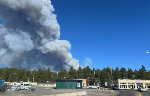
PRINEVILLE, Ore. (KTVZ) – A new lightning-sparked, wind-fanned 100-acre wildfire near Maury Mountain on the Ochoco National Forest prompted Labor Day evacuations of residents, campers and a fire lookout, while several other larger new blazes were tackled as more thunderstorms rumbled through the region.
Multiple air and ground resources responded to the Wiley Flat Fire, which had burned about 100 acres by early afternoon “with active spotting” and prompted evacuations of the Wiley Flat Campground and Power Point Lookout, followed by private properties north of the Maury Mountains.
The Crook County Sheriff’s Office issued an evacuation alert on Facebook that said SE Drake Park Road (Forest Service Road 16) was under a Level 3 GO NOW evacuation, extending east about five miles.
“The winds out in this area are strong and are moving the fire fast,” the sheriff’s office said as deputies made evacuation notifications in the area.
Crook County's evacuation zones map can be viewed here.
Air and ground resources working to suppress the fire included two helicopters, four SEATs (Single-Engine Air Tankers), a lead plane, two LATs (Large Air Tankers) and bulldozers.
New thunderstorms were moving through the area Monday afternoon, including a strong storm near Redmond that prompted a National Weather Service special weather statement around 3 p.m. Forecasters advised the storm was moving north at 25 mph, carrying wind gusts up to 50 mph.
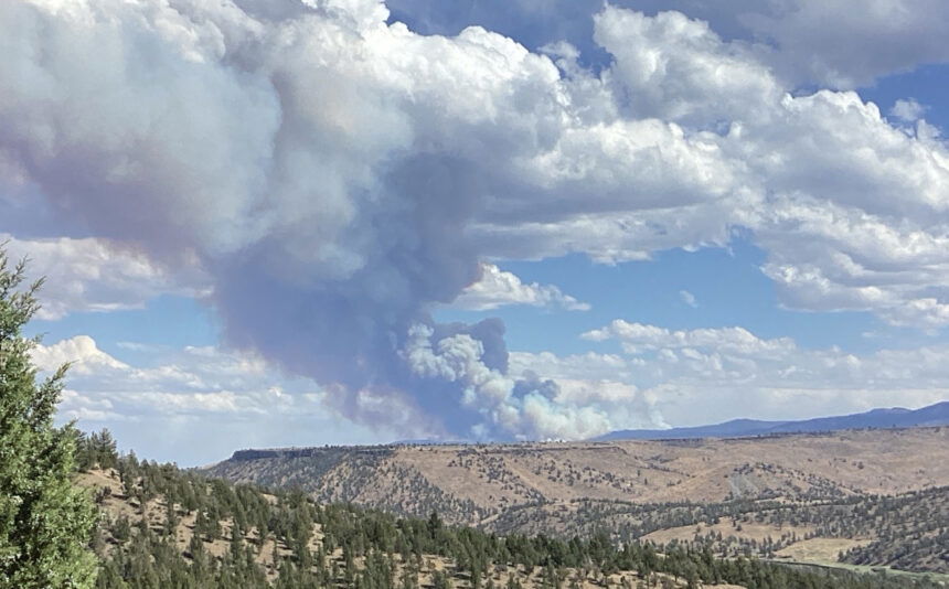
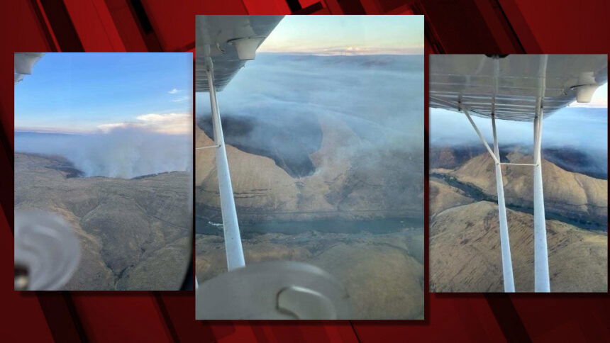
Meanwhile, along the Lower Deschutes River, crews were battling the Oak Canyon Fire, at last report 2,200 acres east of Tygh Valley and north of Maupin and White River Falls State Park. Evacuations were in place along Segment 3 of the lower Deschutes for all campgrounds north of the Pine Tree boat ramp. The cause has yet to be determined.
A Large Air Tanker (LAT) made drops on the fire, assisted by two Type 1 helicopters, a Type 2 helicopter and more ground crews. VLATs (Very Large Air Tankers), a lead plane and dozer strike teams were ordered.
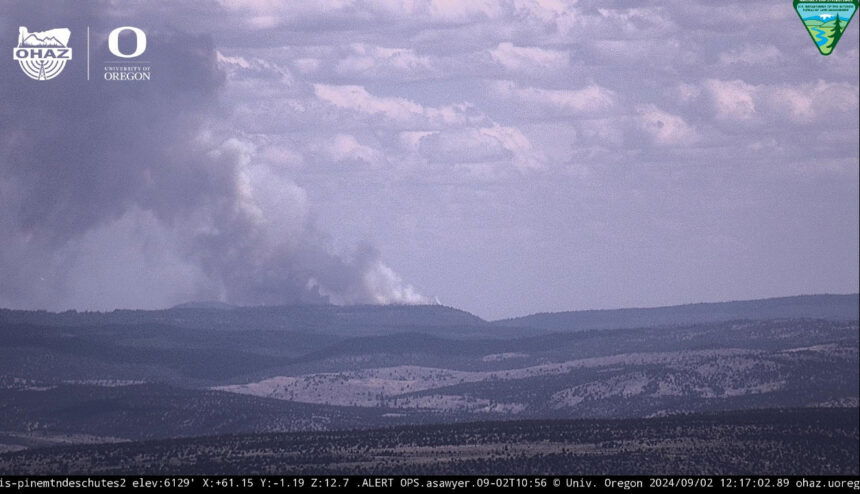
In Wheeler County, several engines and air attack were working to stop the lightning-sparked Shoe Fly Fire, which had burned about 600 acres in a remote area about nine miles north of Highway 26 in Baldy Block, near Girds Creek.
The area of the Six Shooter Ranch was under Level 3 GO NOW evacuation, with other areas under Level 2 BE SET status, the sheriff’s office reported.
Another new lightning-sparked fire, the Rail Ridge Fire, was reported at 50-plus acres and growing, burning on the south fork of the John Day River near Martin Creek, between Forest Service and BLM land. Several engine crews were on scene, with bulldozers and air resources ordered.
Track these and other Oregon wildfires at https://app.watchduty.org/