Deschutes Natl. Forest reduces Cedar Creek Fire closure; Lava Lake, resort reopen, campgrounds still closed
Fire containment increases to 17%
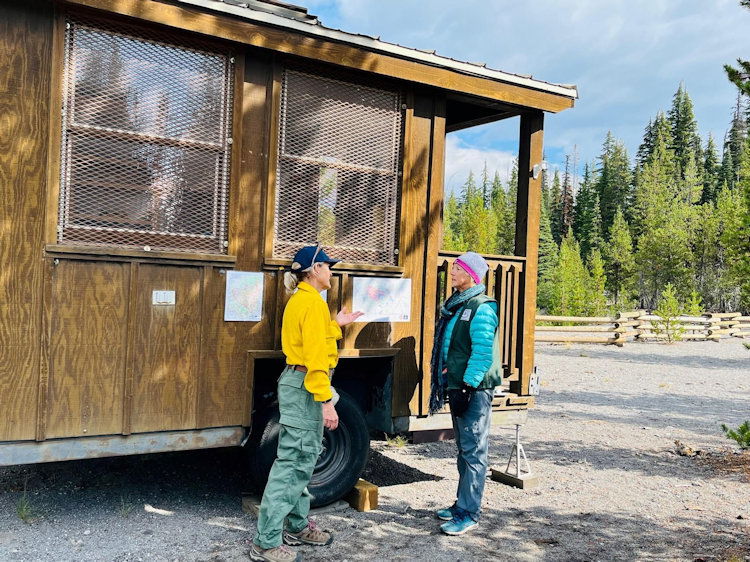
BEND, Ore. (KTVZ) -- The Deschutes National Forest on Friday reduced the forest closure for the Cedar Creek Fire, allowing recreation to resume at Lava Lake and Lava Lake Resort, which was in the northern portion of the closure.
Though the closure has been reduced, the campgrounds at Little Lava Lake and Lava Lake remain closed. Access to the resort is open, officials said.
If the public has questions, they may contact the Bend-Ft Rock Ranger District at 541-383-5300.
Here's Friday morning's fire update:
Cedar Creek Fire
September 23, 2022
Daily Update at 8:30 AM
Cedar Creek Fire Quick Facts
Size: 113,809 acres
Contained: 17%
Start Date: August 1, 2022
Origin: 15 miles east of Oakridge, Oregon
Cause: Lightning
Total personnel: 1,990
Resources: 50 engines, 34 crews, 68 heavy equipment, 8 helicopters
West Zone Operations: The smoke and fog lifted in the morning, providing warmer and drier weather. Firefighters have been successful with mop up operations including extinguishing hot spots, breaking apart smoldering debris, and cutting snags and fire weakened trees along the western edge of the fire. This has secured the fireline along Forest Service Roads 2409 and 1928 which are northeast of the High Prairie community. Crews will continue patrolling this section of line to check for any hot spots. Along the north edge of the fire area, mechanized equipment and crews continue to prepare Forest Service Road 19 to be used as a control line. As they can safely reach them, resource advisors are working to assess the status of recreation and other treasured sites. Yesterday, personnel visited recreation sites along Forest Service Road 19, including campgrounds and trailheads. They confirmed that these sites are in good condition and wooden structures are covered in fire resistant material in case fire reaches the sites.
East Zone Operations: Crews working on the slop-over that crossed Forest Service Road 4290 are finishing their work. They will mop up the line 50 feet into the burned area seeking out and eliminating any hot spots. Dozer line repair is ongoing from Waldo Lake to the Forest Service Read 5897. The East Zone of the Cedar Creek fire has been assisting in backhaul of equipment across the fire area. Equipment will be backhauled to the cache in Redmond, OR where it will be inventoried, cleaned, and stored; ready to deploy on another fire.
A strike team of engines will continue to patrol and monitor conditions in the Odell Lake area. Along the Cascade Lakes Highway, shaded fuel break construction continues in close coordination with a team of Resource Advisors (READs). READs are resource specialists who are familiar with the Deschutes National Forest ecology, and have a strong understanding of potential effects of wildland fires upon significant natural and cultural resources. As a section of shaded fuel break construction is finished, READs are brought in to assess the work and sign off on the completed line.
Forest closures are in place on both the Willamette and Deschutes National Forests for firefighter and public safety. A map of the current closure is available on the incident InciWeb page, Cedar Creek Fire Facebook page, and on the National Forests web pages. Following these closures allows firefighters to be able to focus on doing their work safely.
Weather: The scattered showers yesterday brough rain totals to nearly 0.4 inches across the west zone of the fire. Precipitation came to end quickly yesterday morning with a clearing sky. Warmer and drier conditions are expected Friday through early next week with temperature reaching the 70s during the day. Fuel moisture remains high with minimal fire behavior expected.
Closures: The Deschutes National Forest and Willamette National Forest both have closures and fire restrictions in effect. Please visit Willamette National Forest and Deschutes National Forest for the most recent closure orders and maps. Elijah Bristow State Park is in use by firefighters and closed to the public. A Temporary Flight Restriction (TFR) is in place. The use of drones is prohibited in the fire area, please make it safe for our firefighters to use aircraft on the fire. Pacific Crest Trail hikers should visit pcta.org for current information. See a map of the fire area with both forest closures here: https://inciweb.nwcg.gov/incident/map/8307/0/137083
Smoke: For current conditions, see Fire.airnow.gov, oakridgeair.org, and LRAPA - Today's Current Air Quality. Smoke Forecast Outlooks are available at https://outlooks.wildlandfiresmoke.net/outlook.
Evacuations: An updated map of the evacuation areas is available at www.LaneCountyOR.gov/CedarCreek. Sign-up for emergency mobile alerts by going to oralert.gov. Please check with Lane County Sheriff’s Office at 541-682-4150 and Deschutes County Sheriff’s Office at 541-693-6911 for updates and changes.
Online: https://inciweb.nwcg.gov/incident/8307/ | https://www.facebook.com/CedarCreekFire2022/ |
YouTube: https://www.tinyurl.com/cedarcreekfireyoutube
Fire Information Line: 541-201-2335, 8:00 AM – 8:00 PM |
Email: 2022.cedarcreek@firenet.gov
