Cedar Creek Fire containment figure slowly climbs to 38%, despite lingering critical fire conditions
OAKRIDGE, Ore. (KTVZ) -- The firefighting force that once topped 2,000 has dropped to about 600 on the 121,529-acre Cedar Creek Fire, and above-average temperatures for October has meant more critical fire conditions testing lines, officials said Saturday.
A milestone was reached Saturday, as forest closures were reduced and the Cascade Lakes Highway reopened.
Here's Saturday's update on the fire:
Cedar Creek Fire
October 8, 2022 | Update 8:30 AM | Size: 121,529 acres | Contained: 38% | Start Date: August 1,2022 | Origin: 15 miles east of Oakridge, OR
Cause: Lightning | Total personnel: 605| Resources: 15 engines; 17 crews; 6 heavy equipment; 5 helicopters
Operations: Northwest Incident Management Team 9 will transfer command to Northwest Incident Management Team 12 at 8:00 PM today. Equipment from the Potter Fire will shift to the Big Swamp Fire as suppression repair operations are completed. Work on the east branch of Cedar Creek Fire continues, and the Deschutes National Forest has reduced the closure area, including the Cascade Lakes Highway and several campgrounds. Please refer to the Deschutes National Forest for closure updates.
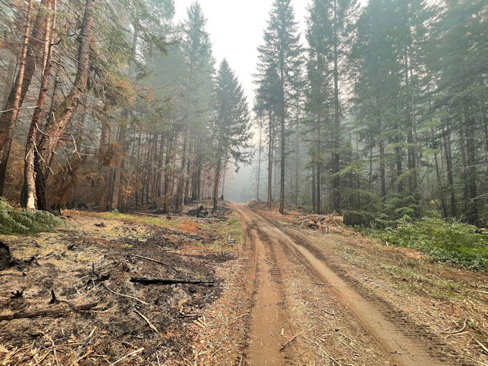
Critical conditions, including dry and hot weather, resulted in an increase in fire activity on the south edge of Cedar Creek Fire. Firefighters and air resources were engaged in these active areas, constructing, and securing control lines. Work continues on the spot fire that ignited in Division T near Lucas Lake. Two hotshot crews, along with helicopters and fixed wing air resources are working to prevent fire spread to the south. Critical fire weather conditions are predicted through Saturday and firefighters will be responding diligently to strengthen containment lines.
Weather: Increased wind speeds and low humidity are predicted to occur this weekend. Smoke impacts will persist in the area throughout the morning hours and into the early afternoon. Shifting winds and decreasing relative humidity will contribute to increased smoke impacts in the area.
Closures: The Deschutes National Forest and Willamette National Forest have closures in effect. Yesterday, fire restrictions were lifted in both forests. Some of these closures will remain in effect until areas that have been heavily impacted by the fire are surveyed for safety hazards. Please respect Forest closures for firefighter and public safety. Please visit Willamette National Forest and Deschutes National Forest for the most recent closure orders and maps. A Temporary Flight Restriction (TFR) is in place. The use of drones is prohibited in the fire area; please make it safe for our firefighters to use aircraft on the fire. Pacific Crest Trail hikers should visit pcta.org for current information.
Smoke: For current conditions, see Fire.airnow.gov, oakridgeair.org, and LRAPA - Today's Current Air Quality. Smoke Forecast Outlooks are available at https://outlooks.wildlandfiresmoke.net/outlook.
Evacuations: An updated map of the evacuation areas is available at www.LaneCountyOR.gov/CedarCreek. Sign-up for emergency mobile alerts by going to oralert.gov. Please check with Lane County Sheriff’s Office at 541-682-4150 and Deschutes County Sheriff’s Office at 541-693-6911 for updates and changes.
