Lightning-sparked Boneyard Fire in Grant County burns over 14,000 acres; one home, two outbuildings destroyed

MONUMENT, Ore. (KTVZ) – The 4-day-old lightning-sparked Boneyard fire about 10 miles north of Monument has grown to nearly 15,000 acres, destroying a home and two outbuildings while prompting evacuations ahead of Sunday's red flag warning and threat of more lightning.
https://inciweb.wildfire.gov/incident-information/or95s-boneyard-fire
https://www.facebook.com/profile.php?id=61563332514107
Here's Sunday evening's update on the fire:
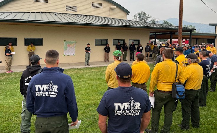
MONUMENT, Ore. – The Oregon Department of Forestry Incident Management Team 1 and resources from the Oregon State Fire Marshal are continuing 24-hour structure protection and suppression efforts to expand control lines along fire flanks while securing the south and southeast ends.
Critical weather conditions of gusty winds and record low fuel moisture have contributed to the fire’s growth as a thunderstorm moves through the surrounding area, posing additional challenges for firefighters.
Two Oregon State Fire Marshal (OSFM) task forces specialized in structural defense are conducting point-protection operations along Top Creek, Wall Creek and other areas where fire spread has threatened
homes. An additional task force has been ordered and will arrive on Monday.
A combination of state, federal and contract resources are cooperating on the Boneyard Fire to suppress further wildfire spread.
Level 3 evacuation notices in the area, including Monument to Highway 402, and along the North Fork John Day River, due to fires burning in Grant County. Additional crews, engines and firefighting
equipment have been ordered and will continue to arrive to work on the Boneyard Fire. Overnight resources from Boneyard will be assisting the local district with suppression efforts on the Courtrock Fire.
The Boneyard Fire is currently 14,602 acres and was started by lightning.
Closure: The Bureau of Land Management has closed public lands along the John Day River from Kimberly to Dale, and from Kimberly to Service Creek. blm.gov/orwafire
The Umatilla National Forest has implemented a closure for public lands within the Heppner Ranger District.
Evacuations: Level 2 (Be Set) and Level 3 (Go Now) evacuations are in effect. For updated evacuation information, visit the Grant County Emergency Management Office’s Facebook page,
https://www.facebook.com/profile.php?id=100068819321423, or sign up for the Grant County Emergency Alert System at https://member.everbridge.net/825462649520134/login.