
Rain & chilly
A slow moving low-pressure center will continue to draw cool air and moisture into the Pacific NW today.
Continue Reading A slow moving low-pressure center will continue to draw cool air and moisture into the Pacific NW today.
Continue Reading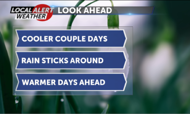
* A chance of rain will stay with us Monday night.
* Lows will drop into the 30’s, upper elevations may mix a little snow with the rain showers.
* Northwest winds will pick up to 5-15 mph.
* The rain will taper off through Tuesday and skies will partially clear beginning Wednesday.
* Despite mostly sunny to partly cloudy skies from Wednesday into the weekend, our daytime highs will be staying below average.
* We get back into the mid 60s Saturday.
* Highs will reach the low 70s Sunday, when we see the next round of rain showers move in.
The system that gave us such a chilly, rainy weekend will linger over the region today.
Continue Reading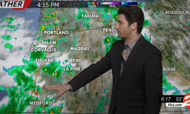
The rainy weather we had over the weekend will stick with us on Monday, with another chance for thunderstorms beginning after 11 a.m. Our chance for precipitation drops down to about 40% Monday evening. Our forecast highs for Monday are in the low 60s and high 50s, a few degrees below average. Forecast lows will
Continue Reading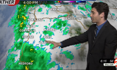
Strong northwest winds will be pushing this new storm system east across the Cascades and into Central Oregon. Rain is likely Sunday morning, with the possibility of thunderstorms in the afternoon. Our forecast highs on Sunday are in the low 60s and high 50s, right around average. We also have a chance at seeing hail
Continue Reading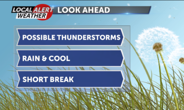
While Saturday looks to be the warmest day we see for a while, warming into the low 70s, we will also see the cloud cover continue to thicken through the day.
Continue Reading Today we get to enjoy a pleasant break in between systems. Daytime highs will in the mid 60’s under sunny to mostly sunny skies.
Continue Reading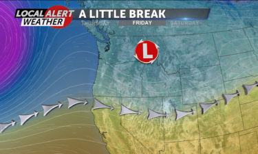
Light and variable winds will calm Thursday evening and rain showers will taper off.
Continue Reading The slow-moving system that gave us a chance of rain showers yesterday will do so again today.
Continue Reading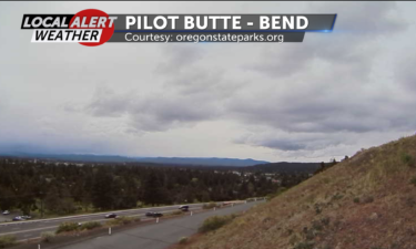
Rain showers and gusty winds continue Wednesday night, with lows in the 30s.
Continue Reading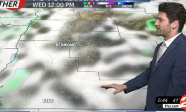
If you like rain and thunderstorms, Wednesday will be another great weather day for you. After rain and thunderstorms on Tuesday, those same conditions are sticking with us. Showers will likely hit the High Desert after 11 a.m. Wednesday, and will likely stick with us until at least Thursday evening. On Wednesday, we could also
Continue Reading Rain showers and gusty winds continue Tuesday night, with lows in the 30s.
Continue Reading A low-pressure center off the Washington coast will show little signs of movement over the next couple days.
Continue Reading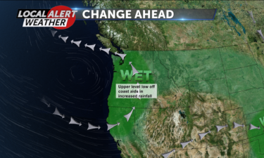
A low-pressure center that will show little movement over the next few days will also gain strength.
Continue Reading A low-pressure center that will show little movement over the next few days will also gain strength.
Continue Reading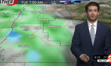
After a warm and sunny Mother’s Day, changes are on the way. Central Oregon has between a 30-50% chance for showers throughout the day on Monday, with a possibility of thunderstorms. North to northwest wind speeds on Monday should be calm for the most part, but we could have gusts that reach 18-20 miles per
Continue Reading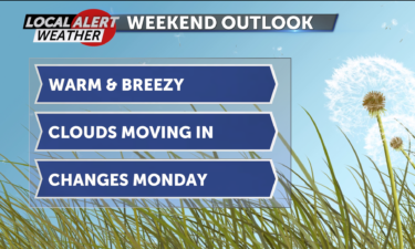
A ridge of high pressure will weaken a bit Sunday, allowing for some clouds to develop.
Continue Reading High pressure will continue to gain strength over the region today and that will guarantee a beautiful day.
Continue Reading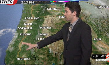
On Friday we will see conditions similar to what we had Thursday, with clear skies throughout the day. Our forecast highs range from the mid to high 70s, putting us well above our seasonal average. Then on Saturday and Sunday, we are looking at temperatures topping out in the mid-80s, which would only be a
Continue Reading After the passage of a cold front and a clear, cold night we will see high pressure build in and with it, sunny skies and warming temperatures.
Continue Reading