More snow, but slowing down
Mt. Hood Meadows reported 4 new inches. Mt. Bachelor reported 6 new inches. Timberline reported 8 new…
Continue ReadingMt. Hood Meadows reported 4 new inches. Mt. Bachelor reported 6 new inches. Timberline reported 8 new…
Continue ReadingMt. Hood Meadows reported 5 new inches. Timberline reported 7 new inches. Mt. Bachelor reported 2 new…
Continue Reading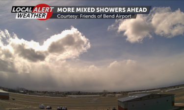
Happy Wednesday, Central Oregon! Our lows will drop to freezing and a little below Wednesday night as we see mixed showers across the region.…
Continue ReadingMt. Hood Meadows reported 7 new inches. Timberline reported 5 new inches. Hoodoo has closed and did not report any numbers. Mt. Bachelor…
Continue Reading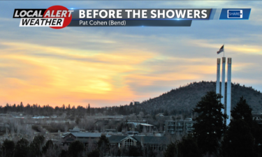
Happy Tuesday, Central Oregon! Our mixed showers will slow down going into the night. Overnight temperatures will dip into the 20s, with…
Continue Reading
A Native American tribe in southern Oregon said Tuesday it is assessing its legal options after learning the U.S. government plans to release water…
Continue ReadingThere will be very little break between systems for the Cascades. Mt. Bachelor will see 2-4″ of fresh snow today with another 4-6″ expected as we…
Continue ReadingGOOD TUESDAY MORNING, EVERYONE… As one system moves off to the east we see clearer skies this morning, but the next system moves in quickly…
Continue Readingmore is expected this week. Mt. Hood Meadows reported no new snow. Timberline reported no new snow. Hoodoo reported no new snow. Mt. Bachelor…
Continue Reading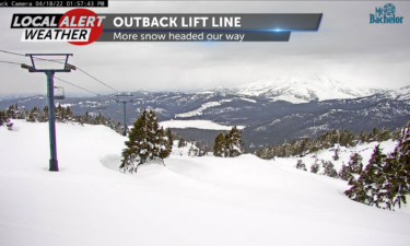
Happy Monday, Central Oregon! Gusty southerly winds will stay with us Monday night, with lows in the 20s and mixed showers are likely through…
Continue ReadingIn the last 24 hours… Mt. Hood Meadows reported 3 new inches. Timberline reported 4 new inches. Hoodoo reported 0 new inches. Mt. Bachelor…
Continue ReadingHappy Sunday and happy Easter, Central Oregon! The region is still experiencing some winter conditions in spring, but Sunday was mostly cloudy and we…
Continue ReadingIn the last 24 hours… Mt. Hood Meadows reported 4 new inches. Timberline reported 1 new inch. Hoodoo reported 4 new inches. Mt. Bachelor…
Continue ReadingHappy Sunday, Central Oregon! What started out with most of us waking up to some noticeable snowfall Saturday transitioned into bright blue skies,…
Continue ReadingMt. Hood Meadows reported 2 new inches. Timberline reported 5 new inches. Hoodoo reported no new snow. Mt. Bachelor reported 2 new…
Continue Reading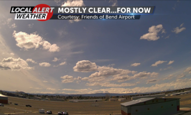
Happy Easter weekend, Central Oregon! A winter weather warning is in place for all of Central Oregon from 11 p.m. Friday until 2 p.m. Saturday. …
Continue Reading
A Bend man was killed in a three-vehicle crash Thursday morning on Highway 97 south of Redmond when a Redmond man lost control on the snowy roadway…
Continue Reading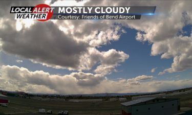
Happy Thursday, Central Oregon! Skies will stay mostly cloudy Thursday night. Scattered showers will subside before midnight. Those gusty…
Continue Readingmore after a short break. Mt. Hood Meadows reported no new snow. Timberline reported 9 new inches. Hoodoo reported no new snow. Mt. Bachelor…
Continue ReadingMt. Hood Meadows reported 11 new inches. Timberline reported 13 new inches. Hoodoo reported 8 new inches. Mt. Bachelor reported 16 new…
Continue Reading