
Scattered showers, t-storms
The advance of a system southward along the British Columbia coastline will pull more moisture into the Pacific NW today.
Continue Reading The advance of a system southward along the British Columbia coastline will pull more moisture into the Pacific NW today.
Continue Reading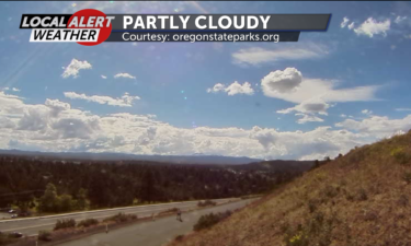
A variable cloud cover Thursday will yield a chance of rain showers later in the day.
Continue Reading The slow advance of the next system southward along the British Columbia coast will allow us one more fair day before the rains settle in.
Continue Reading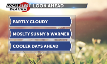
Skies will stay partly cloudy Tuesday night as lows dip into the 40s.
Continue Reading We will stay south of the main body of moisture pushing into the Pacific NW
Continue Reading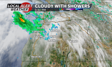
Thicker clouds will give us a slight chance for scatter showers Monday night.
Continue Reading We will get sunshine for much of our morning, but thickening clouds and gusty NW winds at 10-20 mph will be indicators of a weak system making its way through our region.
Continue Reading Happy Monday Central Oregon. We are waking up to mostly clear skies across the High Desert. However, our skies become cloudier throughout the day, and we have about a 10% chance to see rain late Monday night. Forecast highs will be scattered in the mid to low 60s, putting us almost 10 degrees below our
Continue Reading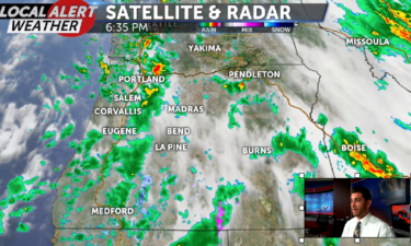
Happy Sunday Central Oregon! We will be waking up to more rain and, in the higher elevations through the Cascades and in La Pine, more chances for snow as well. Our chances for snow end around 11 a.m., but the rain could last all day. A 40%-60% chance for rain in the morning dips down
Continue Reading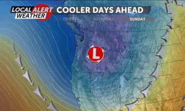
Look for highs in the upper 50s Saturday and mid 50s Sunday.
Continue Reading The advance of a system that will serve as a bit of a spoiler for our weekend will thicken our clouds and step up the breezes today.
Continue Reading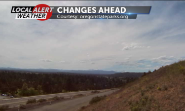
Skies will become partly cloudy Thursday night and lows will stay pretty mild; scattered through the 40s.
Continue Reading We can expect more sunshine today
Continue Reading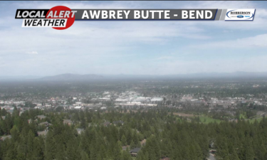
Skies will stay mostly clear tonight, with lows in the 40’s. Breezes will become light and variable.
Conditions will stay quite fair through the end of the work week. Skies will become partly cloudy Friday as the leading edge of the next system works into the NW. A chance of showers will build in Friday night, and that chance will turn to a likelihood of rain Saturday and Sunday. Cold air mixed with this system will drop daytime highs to the low 60’s Saturday and mid 50’s Sunday. Overnight lows will dip to the mid to upper 30’s. After a slight chance of showers Monday morning, we will see a warming and clearing trend that will put us back into the mid 60’s under mostly sunny skies Tuesday.
Continue Reading A westerly flow that is not very heavily laden with moisture may bring a thin cloud or two to the High Desert today, but there is not threat of any showers.
Continue Reading Breezes will become light out of the west after midnight Tuesday night.
Continue Reading As a little high pressure builds in over the region we will get to enjoy a nice break between systems.
Continue Reading
Skies will stay mostly clear Monday night as lows dip to the mid 30s to low 40s.
Continue Reading After a chance of some morning showers we will see storm activity gradually make its way off to the east and leave us under some clearing skies.
Continue Reading
After a wild weather weekend, our conditions in Central Oregon will look a lot different on Monday. To recap some of the activity from Saturday, the National Weather Service was on scene in Culver to determine if a tornado is responsible for the damage in that area. Based on what they’ve found so far, they
Continue Reading