
Warm; smoky haze
The ridge of high pressure responsible for rotating warm air into the Pacific NW will relax a bit over the next couple days
Continue Reading The ridge of high pressure responsible for rotating warm air into the Pacific NW will relax a bit over the next couple days
Continue Reading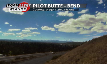
Our skies will be clear and lows will be in the mid 40s to mid 50s Thursday night.
Continue Reading We may see a thin cloud or two today, but overall, we are looking at a sunny, pleasant day.
Continue Reading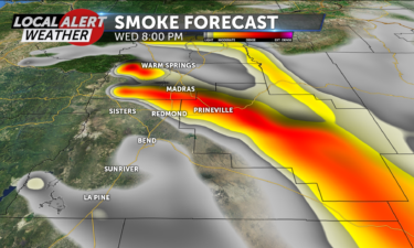
Our skies will be mostly clear but hazy Wednesday night, with lows in the mid 40s to high 50s.
Continue Reading Watches and warnings for Central Oregon may have been lifted, but we will still remain warm and dry today.
Continue Reading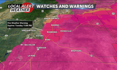
A heat advisory will remain in place until 9 pm and a red flag (fire weather) warning will remain in place until 11 pm Tuesday night.
Continue Reading Another hot day with a chance of afternoon and evening thunderstorms is on tap for Central Oregon.
Continue Reading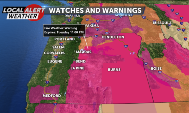
Gusty southwest winds at 10-15 mph will stay with us through Monday evening.
Continue Reading A massive high pressure ridge centered over the Desert SW has been responsible for the hot temperatures we have seen recently and we can expect more of the same over the next couple days.
Continue Reading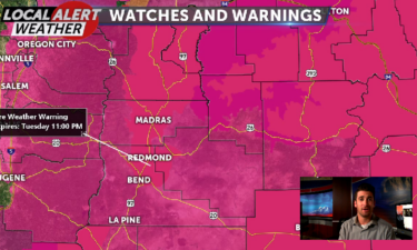
Hot temperatures and strong winds are contributing factors to our upgrade from a Fire Weather Watch to a Fire Weather Warning in Central Oregon. That warning lasts until Tuesday at 11 p.m. for most of us, but expired Sunday at 11 p.m. in Sisters. Redmond, Bend, Madras and Prineville are also under a Heat Advisory
Continue Reading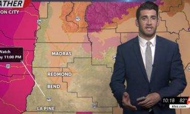
One day after the Juniper Ridge Fire burned north of Bend, all of Central Oregon enters a Fire Weather Watch. It begins Sunday at 1 p.m. and lasts until 11 p.m. The reason that will go into effect is due to a combination of weather conditions that could lead to fire danger. Temperatures could hit
Continue Reading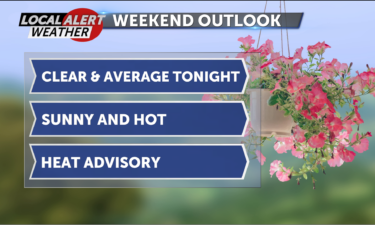
A high pressure center will make its way in our direction over the next few days, and that will bring us higher temperatures.
Continue Reading A strong ridge of high pressure that is actually centered over the SW United States will allow for sunny skies and a very warm southerly flow of air.
Continue Reading
Our skies will stay clear Thursday night with lows in the mid to upper 40s.
Continue Reading Despite plenty of sunshine today, we will still see highs a little below average because of a flow of cool air out of the NW.
Continue Reading
Our skies will begin to clear over night Wednesday, lows will be in the low to mid 40s.
Continue Reading Good Wednesday, Central Oregon! Low pressure centered in western Canada will be responsible for rotating some cooler air into the Pacific NW today. Today’s highs will be in the mid to upper 70’s and for a period this afternoon NW winds will pick up to 5-15 mph, gusting to 20 mph. Partly cloudy skies today
Continue Reading
Our skies will stay clear Tuesday night, with lows in the low 40s to low 50s.
Continue Reading A fair air flow out of the west and NW will keep our temperatures pretty average for this date.
Continue Reading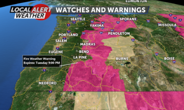
Skies will stay clear Monday night and lows will range from the mid 40s to mid 50s.
Continue Reading